
| Distance / Altitude | Location | Report Date / Time | Live Weather | Wind | Gusts | Temp. | Visibility | Cloud |
|---|---|---|---|---|---|---|---|---|
| 16 km SSW / 55 m | Port-Menier-Que (Canada) | 2024-04-25 00:00 local (2024/04/25 04:00 GMT) | no report | light winds from the SE (14 km/h at 130) | 0°C | - | - no observation - | |
| 18 km S / 194 m | Port Menier Airport (Quebec) | 2024-04-25 01:00 local (2024/04/25 05:00 GMT) | - | light winds from the SE (13 km/h at 130) | 0°C | 0.0 | ||
| 30 km N / 216 m | Ice Aux Perroquets (Quebec) | 2024-04-25 01:00 local (2024/04/25 05:00 GMT) | - | light winds from the ENE (19 km/h at 60) | 0°C | 0.0 | - - - | |
| 36 km N / 11 m | Longue -Pointe -DE -Mingan- Que (Canada) | 2024-04-25 01:00 local (2024/04/25 05:00 GMT) | no report | light winds from the ENE (7 km/h at 70) | 0°C | - | - | |
| 36 km N / 191 m | Longue Point De Mingan Airport (Quebec) | 2024-04-25 01:00 local (2024/04/25 05:00 GMT) | - | light winds from the ENE (6 km/h at 70) | 0°C | 0.0 |
| Contours: | Roads & Rivers: | Select a
tide station / surf break / city |
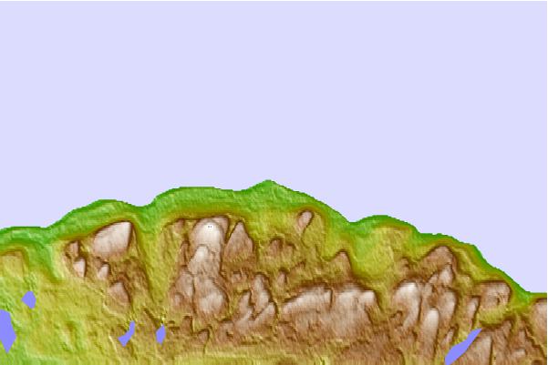
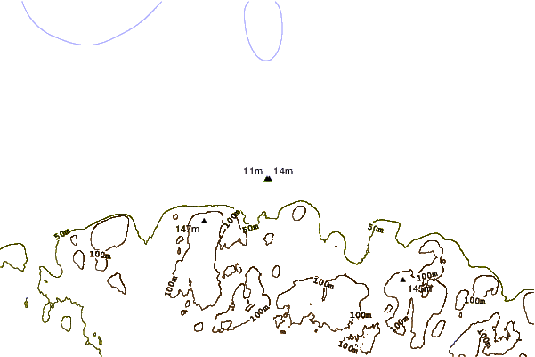
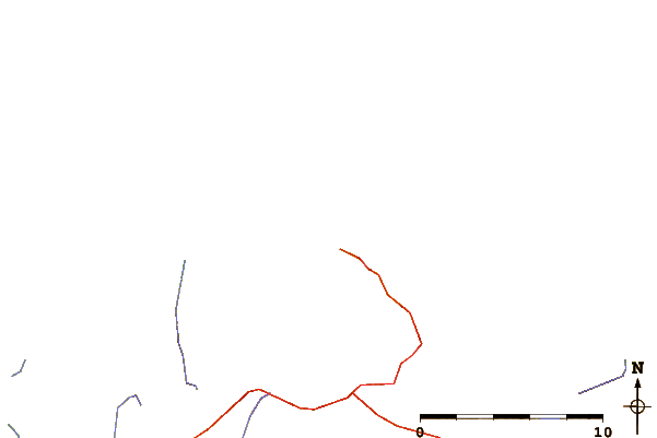
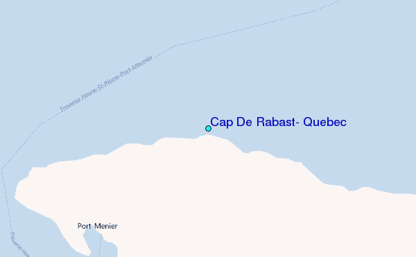
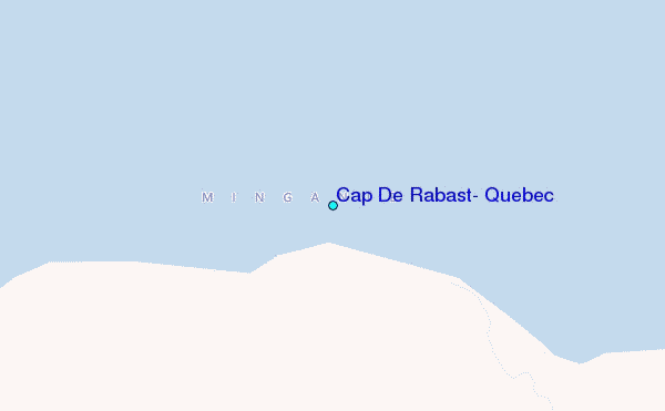
Use this relief map to navigate to tide stations, surf breaks and cities that are in the area of Cap De Rabast, Quebec.
Other Nearby Locations' tide tables and tide charts to Cap De Rabast, Quebec:
click location name for more details
 Surf breaks close to Cap De Rabast, Quebec:
|
||
|---|---|---|
| Closest surf break | Ingonish Beach | 287 mi |
| Second closest surf break | Kennington Cove | 339 mi |
| Third closest surf break | Michaud Point | 343 mi |
| Fourth closest surf break | Martinique | 367 mi |
| Fifth closest surf break | Lawrencetown Left Point | 369 mi |

 Nearest
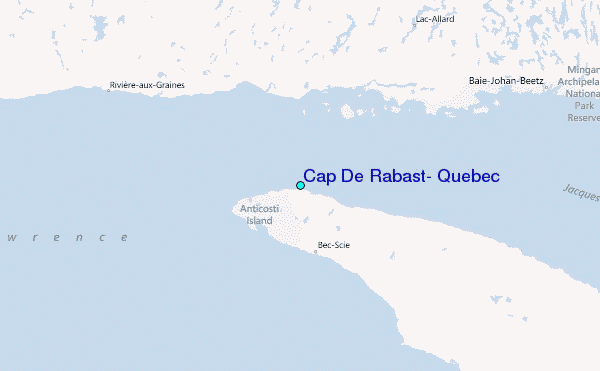