
| Distance / Altitude | Location | Report Date / Time | Live Weather | Wind | Gusts | Temp. | Visibility | Cloud |
|---|---|---|---|---|---|---|---|---|
| 5 km WNW / 28 m | Wareham (Massachusetts) | 2024-04-23 09:00 local (2024/04/23 13:00 GMT) | - | wind obs. (6 kph from 255 degs) was rejected (- km/h at -) | 12°C | - | - - 0 | |
| 7 km WNW / 15 m | E. Wareham (Massachusetts) | 2024-04-23 09:41 local (2024/04/23 13:41 GMT) | dry | wind obs. (8 kph from 255 degs) was rejected (- km/h at -) | 12°C | - | - - 0 | |
| 7 km WNW / 24 m | White Island Shores wx (United States) | 2024-04-23 10:02 local (2024/04/23 14:02 GMT) | dry | calm (3 km/h at 255) | 12°C | - | - - 0 | |
| 9 km S / 4 m | Pocasset (Massachusetts) | 2024-04-23 09:49 local (2024/04/23 13:49 GMT) | dry | calm (0 km/h at 247) | 11°C | - | - - 0 | |
| 10 km ESE / 71 m | East Sandwich wx (United States) | 2024-04-23 09:25 local (2024/04/23 13:25 GMT) | dry | calm (0 km/h at 98) | 13°C | - | - - 0 |
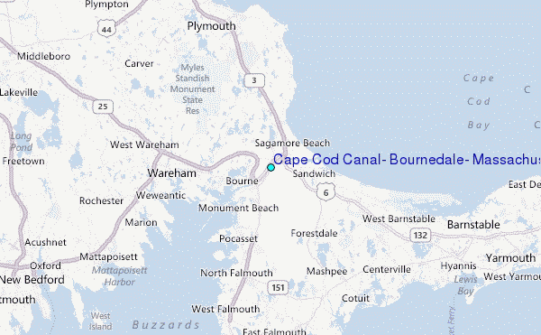
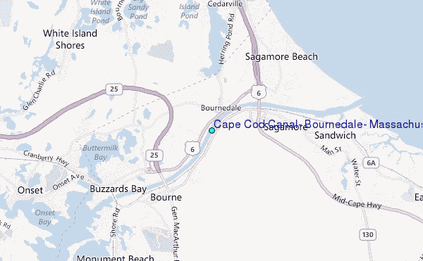
Choose Cape Cod Canal, Bournedale, Massachusetts Location Map Zoom:
| Contours: | Roads & Rivers: | Select a
tide station / surf break / city |
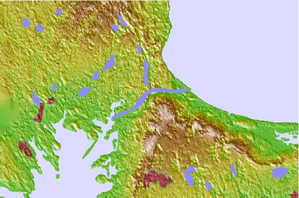
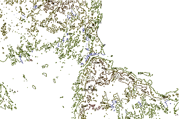
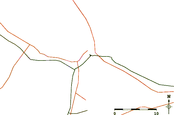
Use this relief map to navigate to tide stations, surf breaks and cities that are in the area of Cape Cod Canal, Bournedale, Massachusetts.
Other Nearby Locations' tide tables and tide charts to Cape Cod Canal, Bournedale, Massachusetts:
click location name for more details
 Surf breaks close to Cape Cod Canal, Bournedale, Massachusetts:
|
||
|---|---|---|
| Closest surf break | Green Harbor | 22 mi |
| Second closest surf break | Marshfield Jetty | 22 mi |
| Third closest surf break | Brant Rock | 23 mi |
| Fourth closest surf break | Fieldstone | 25 mi |
| Fifth closest surf break | Rexham | 27 mi |

 Nearest
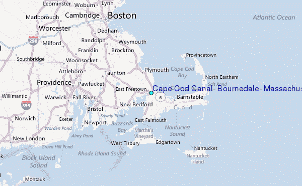