
| Distance / Altitude | Location | Report Date / Time | Live Weather | Wind | Gusts | Temp. | Visibility | Cloud |
|---|---|---|---|---|---|---|---|---|
| 13 km NNE / 32 m | Marignane (France) | 2024-04-25 07:00 local (2024/04/25 05:00 GMT) | Clear skies | fresh winds from the NW (31 km/h at 320) | 8°C | 40 km | no observation | |
| 14 km NNE / 217 m | Marseille Marignane Airport (France) | 2024-04-25 07:30 local (2024/04/25 05:30 GMT) | - | moderate winds from the NW (24 km/h at 320) | — | 0.0 | ||
| 25 km E / 160 m | Les Olives wx (France) | 2024-04-25 07:35 local (2024/04/25 05:35 GMT) | dry | light winds from the NW (11 km/h at 323) | 7°C | - | - - 0 | |
| 28 km WNW / 24 m | Istres (France) | 2024-04-25 07:00 local (2024/04/25 05:00 GMT) | Clear skies | moderate winds from the NNW (24 km/h at 330) | 9°C | 55 km | mostly cloudy | |
| 28 km WNW / 215 m | Istres-Le Tubé Air Base (France) | 2024-04-25 07:30 local (2024/04/25 05:30 GMT) | - | moderate winds from the NNW (26 km/h at 330) | — | 0.0 | few no observation - |
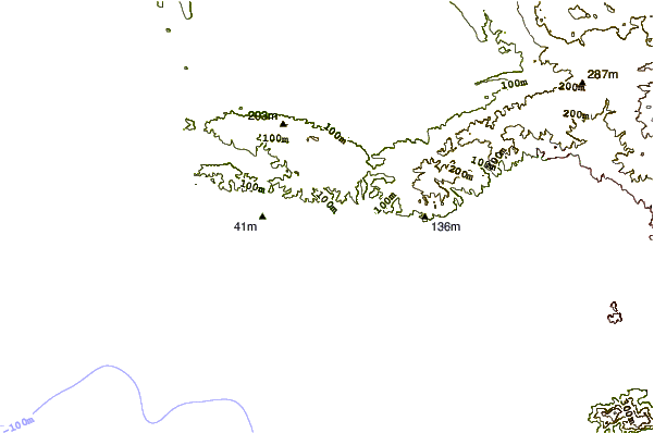
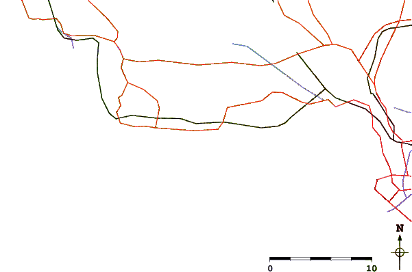
| Contours: | Roads & Rivers: | Select a
tide station / surf break / city |
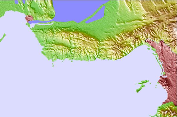
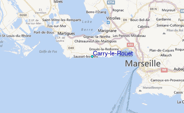
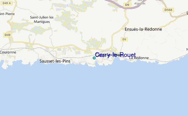
Use this relief map to navigate to tide stations, surf breaks and cities that are in the area of Carry-le-Rouet.
Other Nearby Locations' tide tables and tide charts to Carry-le-Rouet:
click location name for more details
 Surf breaks close to Carry-le-Rouet:
|
||
|---|---|---|
| Closest surf break | L'Hermitage | 2 mi |
| Second closest surf break | Sausset les Pins | 2 mi |
| Third closest surf break | Tamaris | 4 mi |
| Fourth closest surf break | L'Arquet | 4 mi |
| Fifth closest surf break | La Couronne | 5 mi |

 Nearest
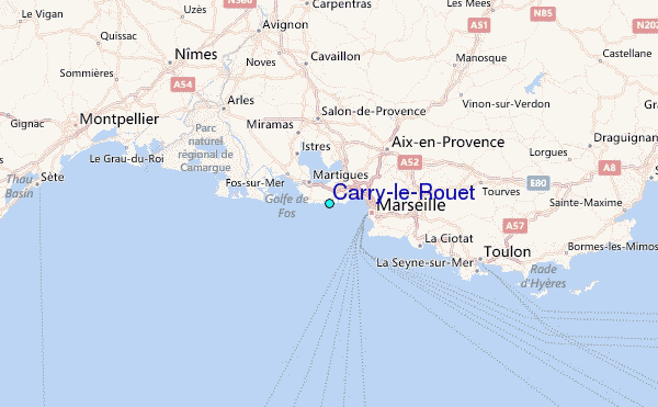