
| Distance / Altitude | Location | Report Date / Time | Live Weather | Wind | Gusts | Temp. | Visibility | Cloud |
|---|---|---|---|---|---|---|---|---|
| 3 km WSW / 218 m | Prince Rupert AR Airport (British Columbia) | 2026-06-08 20:00 local (2026/06/09 03:00 GMT) | Dry and cloudy | light winds from the NW.(Wind varies from 250 to 340 degs) (7 km/h at 310) | 13°C | 14 | overcast | |
| 5 km WSW / 35 m | Prince Rupert (Canada) | 2026-06-08 21:00 local (2026/06/09 04:00 GMT) | no report | calm (4 km/h at 100) | 8°C | 36 km | - overcast - | |
| 12 km S / 6 m | HollandRock-BC (Canada) | 2026-06-08 21:00 local (2026/06/09 04:00 GMT) | no report | calm (4 km/h at 20) | 11°C | - | - no observation - | |
| 13 km S / 217 m | Holland Rock Airport (British Columbia) | 2026-06-08 20:00 local (2026/06/09 03:00 GMT) | - | light winds from the NNW (11 km/h at 340) | 12°C | 0.0 | ||
| 14 km WSW / 216 m | Lucy Island Airport (British Columbia) | 2026-06-08 20:00 local (2026/06/09 03:00 GMT) | - | light winds from the W (6 km/h at 280) | 13°C | 0.0 | ||
| 16 km WSW / 23 m | LucyIslandLightstation- BC (Canada) | 2026-06-08 21:00 local (2026/06/09 04:00 GMT) | no report | calm (4 km/h at 310) | 11°C | - | - no observation - | |
| 38 km NW / 165 m | Grey Islet Airport (British Columbia) | 2026-06-08 20:00 local (2026/06/09 03:00 GMT) | - | light winds from the N (7 km/h at 10) | 14°C | 0.0 | ||
| 39 km NW / 10 m | GreyIslet(Aut)- BC (Canada) | 2026-06-08 21:00 local (2026/06/09 04:00 GMT) | no report | wind obs. (7 kph from 140 degs) was rejected (- km/h at -) | 12°C | - | - no observation - | |
| 54 km WSW / 15 m | SHIP6925 (Marine) | 2026-06-08 19:00 local (2026/06/09 02:00 GMT) | - (- km/h at -) | — | - km | |||
| 54 km WSW / 15 m | SHIP3046 (Marine) | 2026-06-08 19:00 local (2026/06/09 02:00 GMT) | - (- km/h at -) | — | - km |
| Contours: | Roads & Rivers: | Select a
tide station / surf break / city |
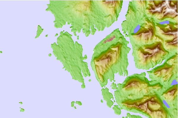
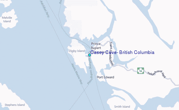
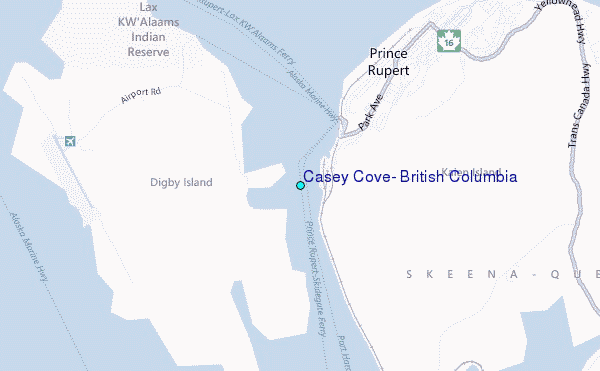
Use this relief map to navigate to tide stations, surf breaks and cities that are in the area of Casey Cove, British Columbia.
Other Nearby Locations' tide tables and tide charts to Casey Cove, British Columbia:
click location name for more details
 Surf breaks close to Casey Cove, British Columbia:
|
||
|---|---|---|
| Closest surf break | Tow Hill Beach | 60 mi |
| Second closest surf break | Lepus Beach (Haida-Gwaii) | 108 mi |
| Third closest surf break | Nootka Island (Calvin Bay) | 353 mi |
| Fourth closest surf break | Tofino (North Chestermans Beach) | 405 mi |
| Fifth closest surf break | South Chesterman Beach | 406 mi |


 Nearest
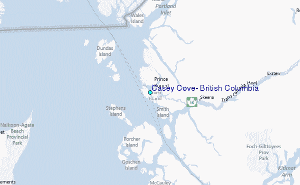