
| Distance / Altitude | Location | Report Date / Time | Live Weather | Wind | Gusts | Temp. | Visibility | Cloud |
|---|---|---|---|---|---|---|---|---|
| 17 km NE / 46 m | Scow Bay wx (United States) | 2026-06-09 12:18 local (2026/06/09 20:18 GMT) | dry | calm (0 km/h at 202) | 17°C | - | - - 0 | |
| 19 km NNE / 3 m | SHIP5221 (Marine) | 2026-06-09 11:00 local (2026/06/09 19:00 GMT) | light winds from the NNW (9 km/h at 340) | 13°C | - | |||
| 19 km NNE / 15 m | SHIP3350 (Marine) | 2026-06-09 12:00 local (2026/06/09 20:00 GMT) | light winds from the NE (14.76 km/h at 40) | — | - km | |||
| 19 km NNE / 3 m | SHIP9045 (Marine) | 2026-06-09 11:00 local (2026/06/09 19:00 GMT) | light winds from the NE (11 km/h at 40) | 11°C | - | |||
| 19 km NNE / 15 m | SHIP3548 (Marine) | 2026-06-09 10:00 local (2026/06/09 18:00 GMT) | calm (5.4 km/h at 60) | — | - km | |||
| 19 km NNE / 15 m | SHIP4011 (Marine) | 2026-06-09 11:00 local (2026/06/09 19:00 GMT) | light winds from the NE (11.16 km/h at 40) | — | - km | |||
| 19 km NNE / 15 m | SHIP8309 (Marine) | 2026-06-09 10:00 local (2026/06/09 18:00 GMT) | light winds from the NNW (9.360000000000001 km/h at 340) | — | - km | |||
| 19 km NNE / 15 m | SHIP6923 (Marine) | 2026-06-09 10:00 local (2026/06/09 18:00 GMT) | light winds from the NNW (9.360000000000001 km/h at 340) | — | - km | |||
| 19 km NNE / 15 m | SHIP2483 (Marine) | 2026-06-09 10:00 local (2026/06/09 18:00 GMT) | calm (3.6 km/h at 70) | — | - km | |||
| 19 km NNE / 15 m | SHIP4436 (Marine) | 2026-06-09 11:00 local (2026/06/09 19:00 GMT) | light winds from the NE (11.16 km/h at 40) | — | - km |
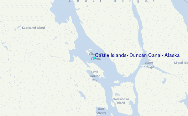
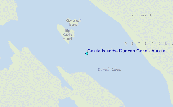
Choose Castle Islands, Duncan Canal, Alaska Location Map Zoom:
| Contours: | Roads & Rivers: | Select a
tide station / surf break / city |
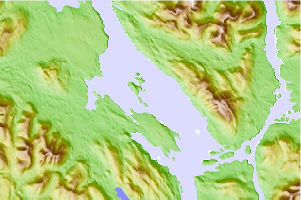
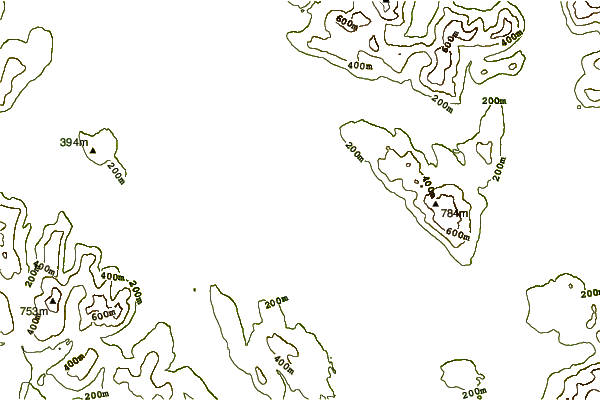
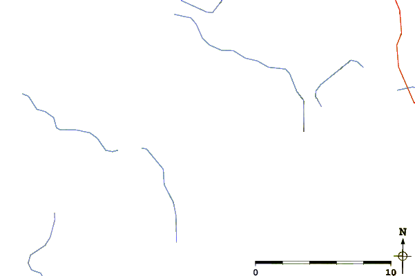
Use this relief map to navigate to tide stations, surf breaks and cities that are in the area of Castle Islands, Duncan Canal, Alaska.
Other Nearby Locations' tide tables and tide charts to Castle Islands, Duncan Canal, Alaska:
click location name for more details
 Surf breaks close to Castle Islands, Duncan Canal, Alaska:
|
||
|---|---|---|
| Closest surf break | Lepus Beach (Haida-Gwaii) | 172 mi |
| Second closest surf break | Tow Hill Beach | 186 mi |
| Third closest surf break | Cannon Beach | 312 mi |
| Fourth closest surf break | Graveyards | 315 mi |
| Fifth closest surf break | Ocean Cape | 316 mi |


 Nearest
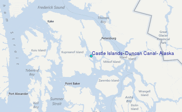