
| Distance / Altitude | Location | Report Date / Time | Live Weather | Wind | Gusts | Temp. | Visibility | Cloud |
|---|---|---|---|---|---|---|---|---|
| 2 km W / 3 m | BUOY-CHAO3 (Marine) | 2026-06-09 08:36 local (2026/06/09 15:36 GMT) | light winds from the WSW (8 km/h at 240) | — | - | |||
| 7 km S / 3 m | BUOY-SNTO3 (Marine) | 2026-06-09 08:30 local (2026/06/09 15:30 GMT) | calm (2 km/h at 210) | 12°C | - | |||
| 10 km NE / 220 m | North Bend Airport (Oregon) | 2026-06-09 08:53 local (2026/06/09 15:53 GMT) | Dry and cloudy | light winds from the SW (11 km/h at 220) | 13°C | 16 | broken overcast | |
| 69 km S / 3 m | BUOY-PORO3 (Marine) | 2026-06-09 08:48 local (2026/06/09 15:48 GMT) | - (0 km/h at -) | — | - | |||
| 72 km S / - m | SHIP1111 (ocean) | 2026-06-09 09:00 local (2026/06/09 16:00 GMT) | - | light winds from the NW (7 km/h at 310) | 12°C | - | no observation | |
| 72 km S / - m | SHIP719 (ocean) | 2026-06-09 07:00 local (2026/06/09 14:00 GMT) | - | light winds from the NNW (7 km/h at 340) | 12°C | - | no observation | |
| 72 km S / - m | SHIP1696 (ocean) | 2026-06-09 07:00 local (2026/06/09 14:00 GMT) | - | light winds from the NNW (7 km/h at 340) | 12°C | - | no observation | |
| 72 km S / - m | SHIP802 (ocean) | 2026-06-09 08:00 local (2026/06/09 15:00 GMT) | - | calm (0 km/h at 0) | 12°C | - | no observation | |
| 72 km S / - m | SHIP1377 (ocean) | 2026-06-09 09:00 local (2026/06/09 16:00 GMT) | - | light winds from the NNW (7 km/h at 330) | 12°C | - | no observation | |
| 72 km S / - m | SHIP192 (ocean) | 2026-06-09 08:00 local (2026/06/09 15:00 GMT) | - | calm (4 km/h at 320) | 12°C | - | no observation |
| Contours: | Roads & Rivers: | Select a
tide station / surf break / city |
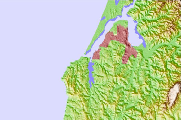
Use this relief map to navigate to tide stations, surf breaks and cities that are in the area of Charleston, Oregon.
Other Nearby Locations' tide tables and tide charts to Charleston, Oregon:
click location name for more details
 Surf breaks close to Charleston, Oregon:
|
||
|---|---|---|
| Closest surf break | Coos Bay Bastendorf Beach | 1 mi |
| Second closest surf break | Coos Bay North | 1 mi |
| Third closest surf break | Coos Bay-South Jetty | 1 mi |
| Fourth closest surf break | Bastendorff Beach | 2 mi |
| Fifth closest surf break | Simpsons Reef | 4 mi |


 Nearest