
| Distance / Altitude | Location | Report Date / Time | Live Weather | Wind | Gusts | Temp. | Visibility | Cloud |
|---|---|---|---|---|---|---|---|---|
| 13 km NNE / 216 m | Terra Nova Airport (Newfoundland) | 2024-04-25 04:30 local (2024/04/25 07:00 GMT) | - | light winds from the SSW (11 km/h at 200) | 10°C | 0.0 | ||
| 14 km NNE / 107 m | Terra Nova Nat Park Cs- Nfld (Canada) | 2024-04-25 04:30 local (2024/04/25 07:00 GMT) | no report | light winds from the SSW (11 km/h at 200) | 10°C | - | - | |
| 70 km WNW / 151 m | Gander Int l A- Nfld (Canada) | 2024-04-25 04:30 local (2024/04/25 07:00 GMT) | no report | - (- km/h at -) | 10°C | - | - | |
| 70 km WNW / 68 m | Gander International Airport (Canada) | 2024-04-25 04:30 local (2024/04/25 07:00 GMT) | no report | moderate winds from the SSE (22 km/h at 160) | 10°C | - | - | |
| 70 km WNW / 217 m | Gander International Airport (Newfoundland) | 2024-04-25 04:30 local (2024/04/25 07:00 GMT) | Drizzle | moderate winds from the SSE (28 km/h at 150) | 10°C | 8 | broken overcast |
| Contours: | Roads & Rivers: | Select a
tide station / surf break / city |
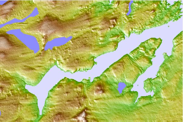
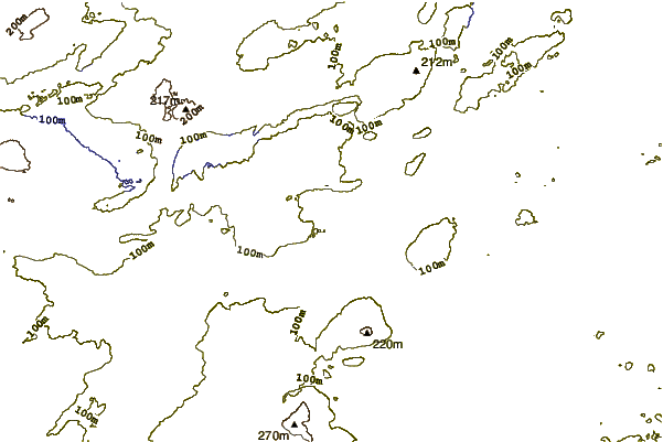
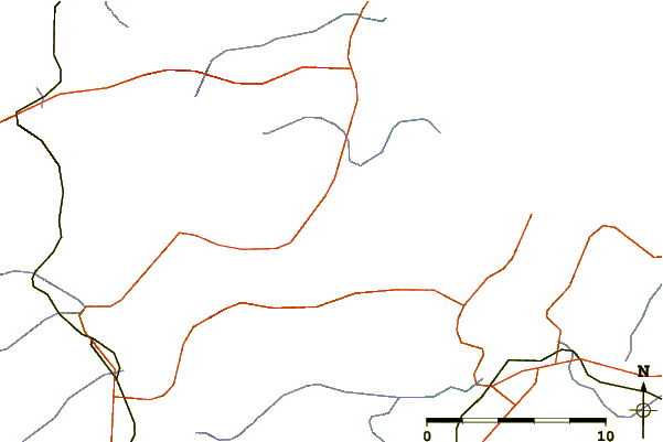
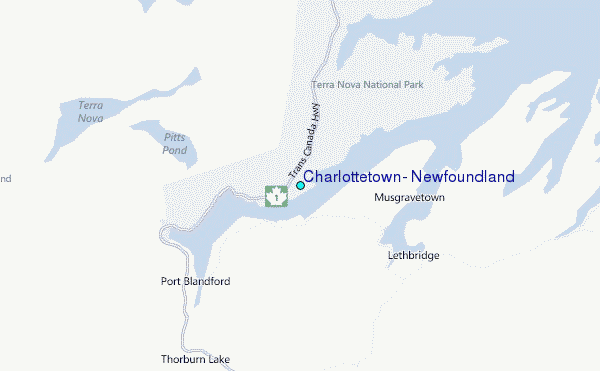
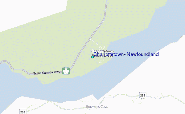
Use this relief map to navigate to tide stations, surf breaks and cities that are in the area of Charlottetown, Newfoundland.
Other Nearby Locations' tide tables and tide charts to Charlottetown, Newfoundland:
click location name for more details
 Surf breaks close to Charlottetown, Newfoundland:
|
||
|---|---|---|
| Closest surf break | Ingonish Beach | 322 mi |
| Second closest surf break | Kennington Cove | 334 mi |
| Third closest surf break | Michaud Point | 371 mi |
| Fourth closest surf break | Martinique | 505 mi |
| Fifth closest surf break | Lawrencetown Left Point | 514 mi |

 Nearest
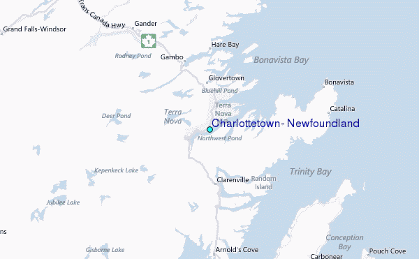