
| Distance / Altitude | Location | Report Date / Time | Live Weather | Wind | Gusts | Temp. | Visibility | Cloud |
|---|---|---|---|---|---|---|---|---|
| 60 km ENE / 173 m | Eastmain River Airport (Quebec) | 2024-04-25 09:00 local (2024/04/25 13:00 GMT) | Dry and partly cloudy | light winds from the SSE.(Wind varies from 110 to 190 degs) (9 km/h at 150) | -4°C | 24 | broken | |
| 118 km SSW / 9 m | Moosonee Rcs Airport (Ontario) | 2024-04-25 08:00 local (2024/04/25 12:00 GMT) | - | calm (4 km/h at 190) | -4°C | 0.0 | ||
| 118 km SSW / 7 m | Moosonee (Canada) | 2024-04-25 08:00 local (2024/04/25 12:00 GMT) | no report | light winds from the S (11 km/h at 190) | -5°C | 36 km | - mostly cloudy - | |
| 122 km SSW / 217 m | Moosonee Airport (Ontario) | 2024-04-25 08:00 local (2024/04/25 12:00 GMT) | Dry and partly cloudy | light winds from the S (11 km/h at 190) | -4°C | 14 | scattered broken | |
| 213 km NNE / 217 m | La Grande Rivier Airport (Quebec) | 2024-04-25 08:00 local (2024/04/25 12:00 GMT) | Dry and cloudy | light winds from the SSW (7 km/h at 200) | -10°C | 24 | overcast |
| Contours: | Roads & Rivers: | Select a
tide station / surf break / city |
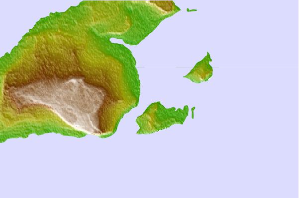
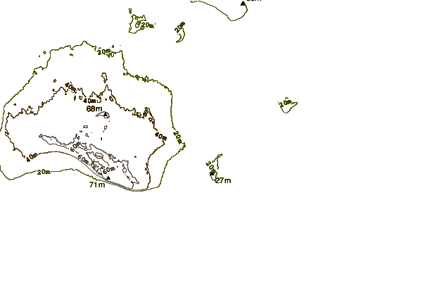
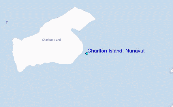
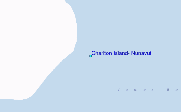
Use this relief map to navigate to tide stations, surf breaks and cities that are in the area of Charlton Island, Nunavut.
Other Nearby Locations' tide tables and tide charts to Charlton Island, Nunavut:
click location name for more details
 Surf breaks close to Charlton Island, Nunavut:
|
||
|---|---|---|
| Closest surf break | Marathon | 390 mi |
| Second closest surf break | Alona Bay | 411 mi |
| Third closest surf break | Manitoulin Island | 455 mi |
| Fourth closest surf break | Bayfield | 459 mi |
| Fifth closest surf break | Grand Marias | 477 mi |

 Nearest
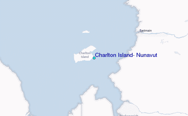