
| Distance / Altitude | Location | Report Date / Time | Live Weather | Wind | Gusts | Temp. | Visibility | Cloud |
|---|---|---|---|---|---|---|---|---|
| 18 km N / 2 m | Oak Harbor wx (United States) | 2026-06-09 02:42 local (2026/06/09 07:42 GMT) | dry | calm (2 km/h at 12) | 27°C | - | - - 0 | |
| 21 km N / 219 m | Slidell Airport (Louisiana) | 2026-06-09 01:30 local (2026/06/09 06:30 GMT) | Dry and partly cloudy | calm (0 km/h at 0) | 24°C | 16 | broken broken | |
| 23 km WSW / 218 m | New Orleans/Lakefront Airport (Louisiana) | 2026-06-09 00:53 local (2026/06/09 05:53 GMT) | Clear | light winds from the SE (11 km/h at 130) | 26°C | 16 | ||
| 24 km N / 5 m | Pine Shadows wx (United States) | 2026-06-09 02:46 local (2026/06/09 07:46 GMT) | dry | calm (0 km/h at 345) | 24°C | - | - - 0 | |
| 24 km N / 3 m | Slidell (Louisiana) | 2026-06-09 02:16 local (2026/06/09 07:16 GMT) | dry | calm (0 km/h at 0) | 25°C | - | - - 0 | |
| 25 km SSE / 3 m | BUOY-SHBL1 (Marine) | 2026-06-09 02:00 local (2026/06/09 07:00 GMT) | light winds from the SE (9 km/h at 130) | 26°C | - | |||
| 27 km N / 5 m | Slidell (Louisiana) | 2026-06-09 02:41 local (2026/06/09 07:41 GMT) | dry | calm (0 km/h at 355) | 24°C | - | - - 0 | |
| 28 km N / 6 m | Noth Forest wx (United States) | 2026-06-09 01:00 local (2026/06/09 06:00 GMT) | dry | calm (0 km/h at 0) | 24°C | - | - - 0 | |
| 30 km WSW / 3 m | BUOY-NWCL1 (Marine) | 2026-06-09 02:00 local (2026/06/09 07:00 GMT) | - (0 km/h at -) | 26°C | - | |||
| 33 km NW / 13 m | Lacombe (Louisiana) | 2026-06-09 02:07 local (2026/06/09 07:07 GMT) | dry | calm (0 km/h at 355) | 24°C | - | - - 0 |
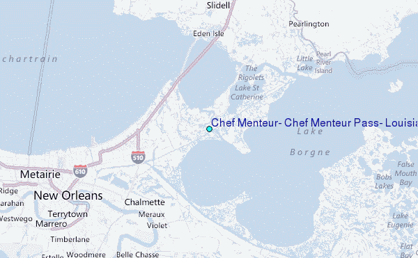
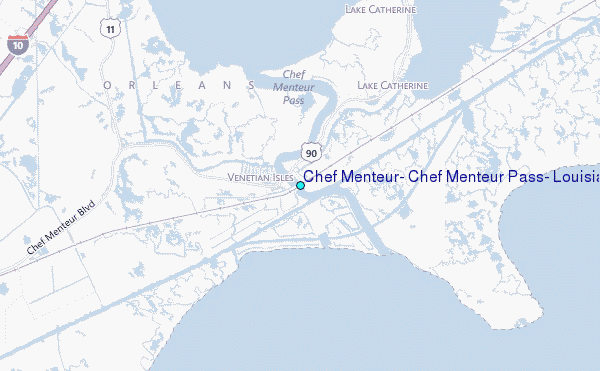
Choose Chef Menteur, Chef Menteur Pass, Louisiana Location Map Zoom:
| Contours: | Roads & Rivers: | Select a
tide station / surf break / city |
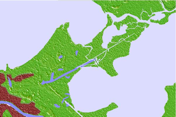
Use this relief map to navigate to tide stations, surf breaks and cities that are in the area of Chef Menteur, Chef Menteur Pass, Louisiana.
Other Nearby Locations' tide tables and tide charts to Chef Menteur, Chef Menteur Pass, Louisiana:
click location name for more details
 Surf breaks close to Chef Menteur, Chef Menteur Pass, Louisiana:
|
||
|---|---|---|
| Closest surf break | Chandeleur Islands | 60 mi |
| Second closest surf break | Dauphin Island Pier | 104 mi |
| Third closest surf break | West Pass | 124 mi |
| Fourth closest surf break | Terry s Cove | 134 mi |
| Fifth closest surf break | Alabama Point | 135 mi |


 Nearest
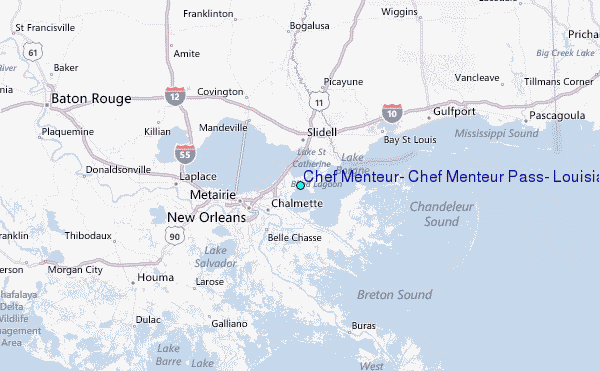