
| Distance / Altitude | Location | Report Date / Time | Live Weather | Wind | Gusts | Temp. | Visibility | Cloud |
|---|---|---|---|---|---|---|---|---|
| 152 km NE / 3 m | BUOY-ALIA2 (Marine) | 2024-04-18 18:00 local (2024/04/19 02:00 GMT) | moderate winds from the E (28 km/h at 80) | 6°C | - | |||
| 158 km NE / 14 m | Akhiok (Alaska) | 2024-04-18 16:56 local (2024/04/19 00:56 GMT) | Light rain | fresh winds from the E (30 km/h at 80) | 6°C | 16 | overcast | |
| 173 km W / 212 m | Chignik Bay Airport (Alaska) | 2024-04-18 17:36 local (2024/04/19 01:36 GMT) | Mist - | light winds from the NNE.(Wind varies from 004 to 009 degs) (15 km/h at 30) | 3°C | 8 | overcast | |
| 198 km E / - m | SHIP7237 (ocean) | 2024-04-18 18:00 local (2024/04/19 02:00 GMT) | - | light winds from the ESE (11 km/h at 120) | 4°C | - | no observation | |
| 199 km E / - m | SHIP3339 (ocean) | 2024-04-18 17:00 local (2024/04/19 01:00 GMT) | - | light winds from the SE (14 km/h at 140) | 4°C | - | no observation |
| Contours: | Roads & Rivers: | Select a
tide station / surf break / city |
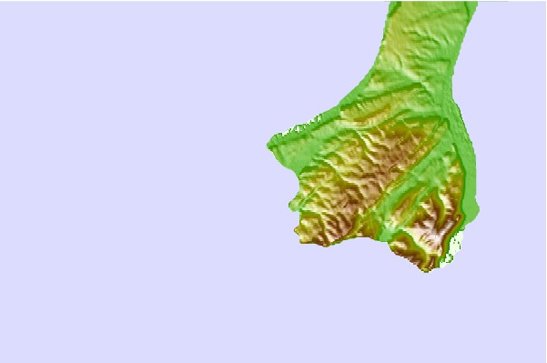
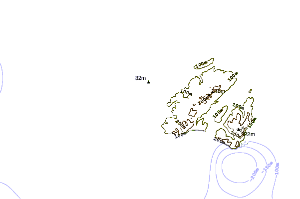
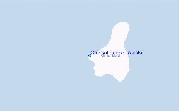
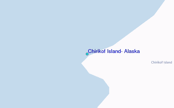
Use this relief map to navigate to tide stations, surf breaks and cities that are in the area of Chirikof Island, Alaska.
Other Nearby Locations' tide tables and tide charts to Chirikof Island, Alaska:
click location name for more details
 Surf breaks close to Chirikof Island, Alaska:
|
||
|---|---|---|
| Closest surf break | Fossil Beach Kodiak | 170 mi |
| Second closest surf break | Monashka Bay | 188 mi |
| Third closest surf break | Mill Bay | 189 mi |
| Fourth closest surf break | Termination Point | 190 mi |
| Fifth closest surf break | Bird Point (Tidal Bore) | 374 mi |

 Nearest
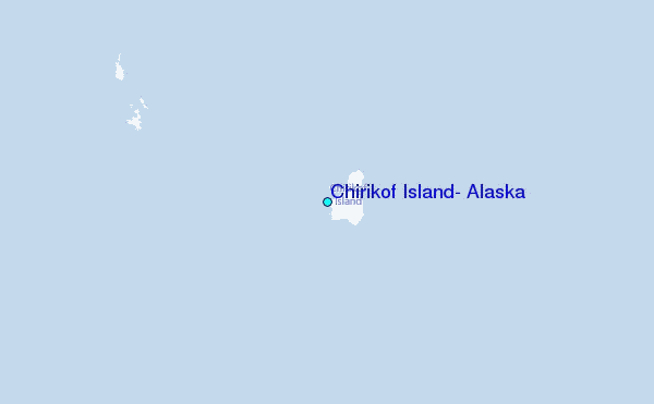