
| Distance / Altitude | Location | Report Date / Time | Live Weather | Wind | Gusts | Temp. | Visibility | Cloud |
|---|---|---|---|---|---|---|---|---|
| 9 km NE / 3 m | BUOY-DOMV2 (Marine) | 2024-04-19 13:00 local (2024/04/19 17:00 GMT) | light winds from the E (17 km/h at 100) | 11°C | - | |||
| 14 km E / 3 m | BUOY-CRYV2 (Marine) | 2024-04-19 13:00 local (2024/04/19 17:00 GMT) | light winds from the ENE (13 km/h at 60) | 12°C | - | |||
| 15 km SSE / 7 m | Hampton Roads Executive Airport - Norfolk (Virginia) (Virginia) | 2024-04-19 11:56 local (2024/04/19 15:56 GMT) | Dry and cloudy | light winds from the N (9 km/h at 1) | 13°C | 16 | overcast | |
| 15 km ENE / 3 m | BUOY-SWPV2 (Marine) | 2024-04-19 13:00 local (2024/04/19 17:00 GMT) | - (- km/h at -) | — | - | |||
| 17 km ENE / 3 m | BUOY-WDSV2 (Marine) | 2024-04-19 13:00 local (2024/04/19 17:00 GMT) | light winds from the E (17 km/h at 100) | 11°C | - |
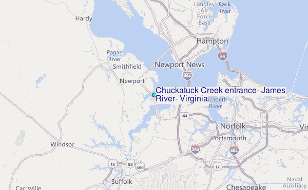
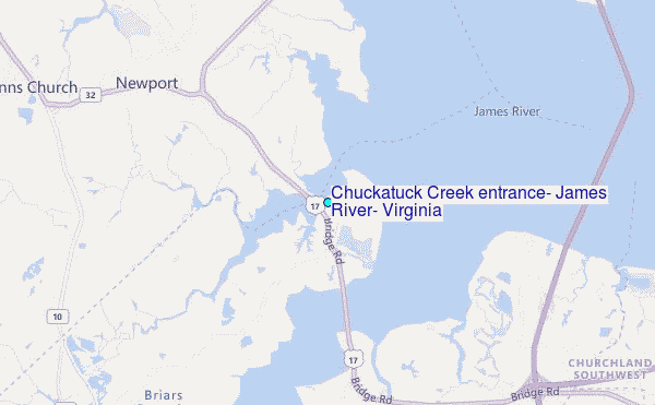
Choose Chuckatuck Creek entrance, James River, Virginia Location Map Zoom:
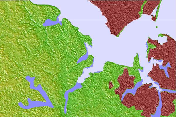
| Contours: | Roads & Rivers: | Select a
tide station / surf break / city |
Use this relief map to navigate to tide stations, surf breaks and cities that are in the area of Chuckatuck Creek entrance, James River, Virginia.
Other Nearby Locations' tide tables and tide charts to Chuckatuck Creek entrance, James River, Virginia:
click location name for more details
 Surf breaks close to Chuckatuck Creek entrance, James River, Virginia:
|
||
|---|---|---|
| Closest surf break | Grandview | 17 mi |
| Second closest surf break | North End | 27 mi |
| Third closest surf break | 81st Street | 28 mi |
| Fourth closest surf break | 42nd St VA Beach | 29 mi |
| Fifth closest surf break | Virginia Beach | 30 mi |

 Nearest
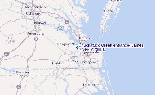