
| Distance / Altitude | Location | Report Date / Time | Live Weather | Wind | Gusts | Temp. | Visibility | Cloud |
|---|---|---|---|---|---|---|---|---|
| 9 km NNE / 218 m | Sacramento Airport (California) | 2024-04-20 00:53 local (2024/04/20 07:53 GMT) | Clear | calm (0 km/h at 0) | 13°C | 16 | ||
| 13 km E / 12 m | Elk Grove (California) | 2024-04-20 01:39 local (2024/04/20 08:39 GMT) | dry | calm (2 km/h at 199) | 13°C | - | - - 0 | |
| 14 km E / 18 m | Fallbrook wx (United States) | 2024-04-20 00:08 local (2024/04/20 07:08 GMT) | dry | calm (2 km/h at 219) | 13°C | - | - - 0 | |
| 16 km E / 20 m | Fallbrook wx (United States) | 2024-04-20 01:47 local (2024/04/20 08:47 GMT) | dry | calm (2 km/h at 93) | 13°C | - | - - 0 | |
| 18 km N / 8 m | West Sacramento Trailer Park wx (United States) | 2024-04-20 02:15 local (2024/04/20 09:15 GMT) | dry | calm (2 km/h at 98) | 13°C | - | - - 0 |
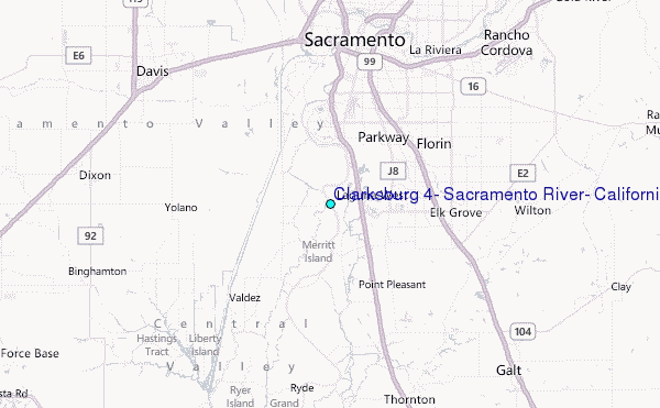
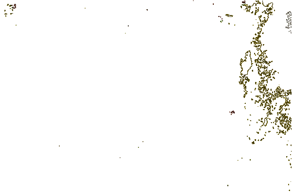
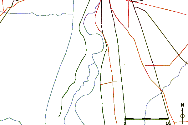
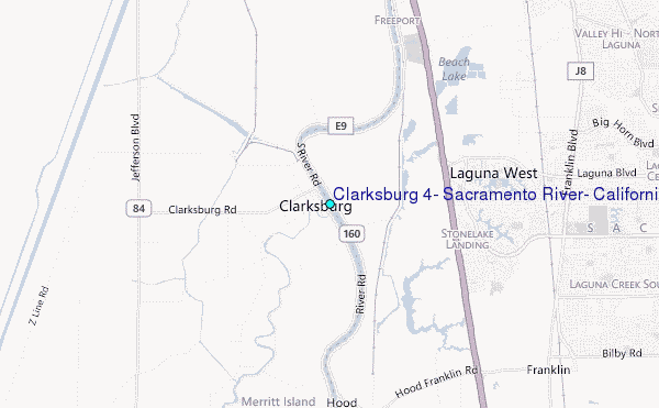
Choose Clarksburg #4, Sacramento River, California Location Map Zoom:
| Contours: | Roads & Rivers: | Select a
tide station / surf break / city |
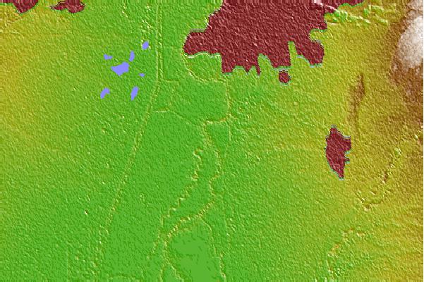
Use this relief map to navigate to tide stations, surf breaks and cities that are in the area of Clarksburg #4, Sacramento River, California.
Other Nearby Locations' tide tables and tide charts to Clarksburg #4, Sacramento River, California:
click location name for more details
 Surf breaks close to Clarksburg #4, Sacramento River, California:
|
||
|---|---|---|
| Closest surf break | Fort Point | 67 mi |
| Second closest surf break | Deadman's | 68 mi |
| Third closest surf break | Fort Cronkite Rodeo Beach | 68 mi |
| Fourth closest surf break | Kellys Cove | 70 mi |
| Fifth closest surf break | Stinson Beach | 71 mi |

 Nearest
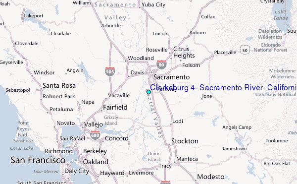