
| Distance / Altitude | Location | Report Date / Time | Live Weather | Wind | Gusts | Temp. | Visibility | Cloud |
|---|---|---|---|---|---|---|---|---|
| 4 km ENE / 3 m | BUOY-MRCP1 (Marine) | 2024-04-25 02:30 local (2024/04/25 06:30 GMT) | - (- km/h at -) | 11°C | - | |||
| 5 km E / 15 m | SHIP2661 (Marine) | 2024-04-25 01:00 local (2024/04/25 05:00 GMT) | - (- km/h at -) | — | - km | |||
| 19 km SSW / 216 m | Wilmington Airport (Delaware) | 2024-04-25 01:51 local (2024/04/25 05:51 GMT) | Clear | light winds from the N (15 km/h at 360) | 10°C | 16 | ||
| 21 km ENE / 218 m | Philadelphia Airport (Pennsylvania) | 2024-04-25 01:54 local (2024/04/25 05:54 GMT) | - | moderate winds from the N (24 km/h at 10) | 12°C | 16 | few | |
| 23 km NW / 142 m | West Chester Airport (Pennsylvania) | 2024-04-25 02:35 local (2024/04/25 06:35 GMT) | Dry and partly cloudy | light winds from the NNE (13 km/h at 20) | 9°C | 16 | broken |
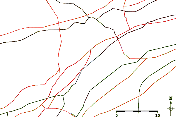
| Contours: | Roads & Rivers: | Select a
tide station / surf break / city |
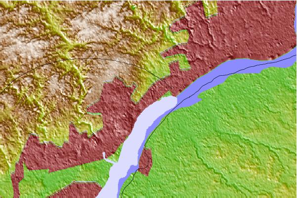
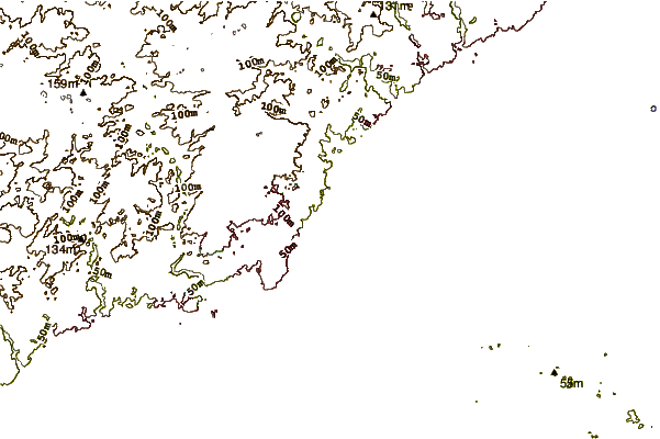
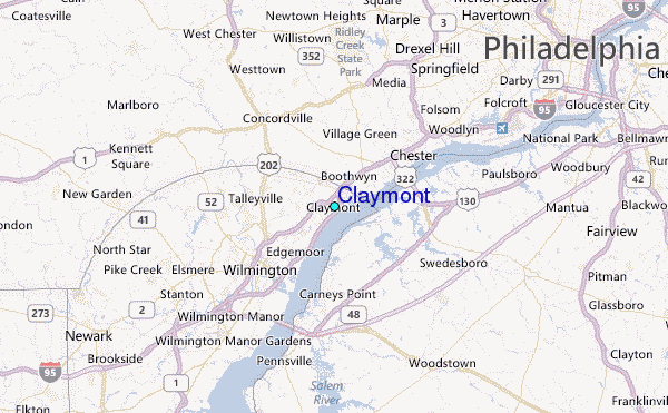
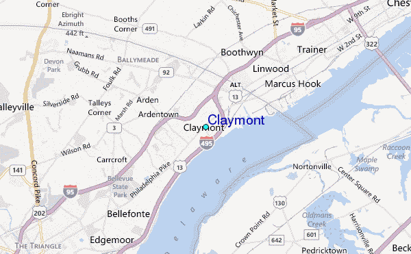
Use this relief map to navigate to tide stations, surf breaks and cities that are in the area of Claymont.
Other Nearby Locations' tide tables and tide charts to Claymont:
click location name for more details
 Surf breaks close to Claymont:
|
||
|---|---|---|
| Closest surf break | 8th Street Jetty | 59 mi |
| Second closest surf break | 55th Street Pier | 59 mi |
| Third closest surf break | 12th Street Jetty | 59 mi |
| Fourth closest surf break | 5th Street | 60 mi |
| Fifth closest surf break | 57th Street | 60 mi |

 Nearest
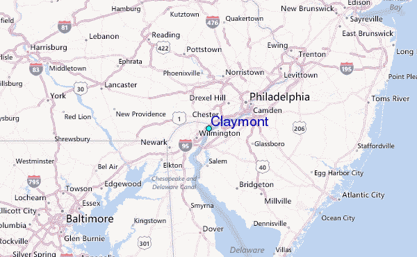