
| Distance / Altitude | Location | Report Date / Time | Live Weather | Wind | Gusts | Temp. | Visibility | Cloud |
|---|---|---|---|---|---|---|---|---|
| 1439 km SSE / 8 m | Williams Field (Antarctica) | 2026-06-09 13:55 local (2026/06/09 03:55 GMT) | Haze - | fresh winds from the ENE (35 km/h at 70) | -31°C | 4.9 | overcast | |
| 1642 km NE / 475 m | Macquarie Island (Australia) | 2026-06-09 15:00 local (2026/06/09 05:00 GMT) | Patches of shallow fog | strong winds from the NW (48 km/h at 320) | 8°C | 3.0 km | - overcast - | |
| 2160 km NE / 16 m | Campbell Island (New Zealand) | 2026-06-09 15:00 local (2026/06/09 05:00 GMT) | - | strong winds from the W (46 km/h at 270) | 9°C | - | - no observation - | |
| 2262 km NE / 40 m | EnderbyIslandAws (New Zealand) | 2026-06-09 15:00 local (2026/06/09 05:00 GMT) | - | fresh winds from the W (35 km/h at 270) | 10°C | - | - no observation - | |
| 2608 km N / 148 m | Maatsuyker Island Lighthouse (Australia) | 2026-06-09 15:00 local (2026/06/09 05:00 GMT) | no report | light winds from the NNE (9 km/h at 30) | 9°C | - | - | |
| 2631 km N / 60 m | Cape Bruny (Australia) | 2026-06-09 15:00 local (2026/06/09 05:00 GMT) | no report | wind obs. (15 kph from 170 degs) was rejected (- km/h at -) | 10°C | - | - | |
| 2631 km N / 60 m | Cape Bruny (Australia) | 2026-06-09 15:00 local (2026/06/09 05:00 GMT) | No report | light winds from the NE (6 km/h at 50) | 15°C | - | - no observation - | |
| 2661 km N / 831 m | HartzMountains(Keoghs Pimple) (Australia) | 2026-06-09 15:00 local (2026/06/09 05:00 GMT) | No report | moderate winds from the NNW (20 km/h at 330) | 9°C | - | no observation | |
| 2675 km N / 410 m | Scotts Peak Dam (Australia) | 2026-06-09 15:00 local (2026/06/09 05:00 GMT) | No report | light winds from the N (19 km/h at 360) | 15°C | - | - no observation - | |
| 2677 km N / 46 m | BullBay(Lauriston) (Australia) | 2026-06-09 15:00 local (2026/06/09 05:00 GMT) | Rain | calm (4 km/h at 10) | 14°C | - | - no observation - |
| Contours: | Roads & Rivers: | Select a
tide station / surf break / city |
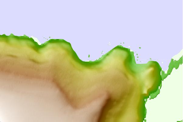
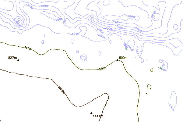
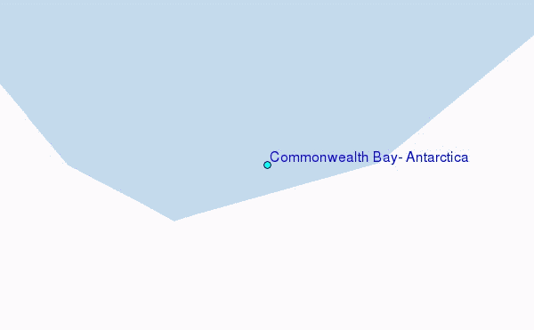
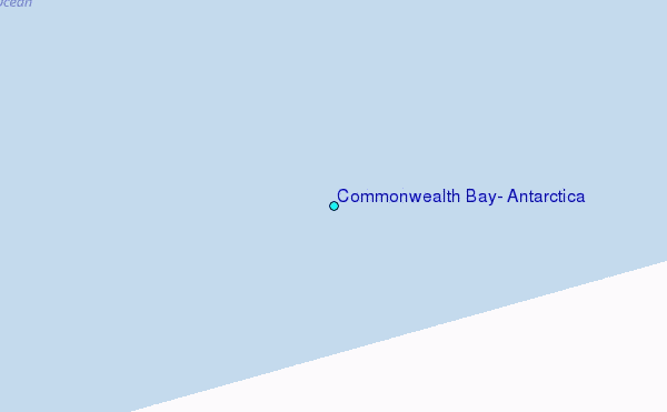
Use this relief map to navigate to tide stations, surf breaks and cities that are in the area of Commonwealth Bay, Antarctica.
Other Nearby Locations' tide tables and tide charts to Commonwealth Bay, Antarctica:
click location name for more details
 Surf breaks close to Commonwealth Bay, Antarctica:
|
||
|---|---|---|
| Closest surf break | Bruny Island - Lighthouse Bay | 1633 mi |
| Second closest surf break | Bruny Island - Mabel Bay | 1634 mi |
| Third closest surf break | Bruny Island - Lagoons | 1636 mi |
| Fourth closest surf break | Bruny Island - Jawbones | 1637 mi |
| Fifth closest surf break | Bruny Island - Cloudy Bay | 1638 mi |


 Nearest
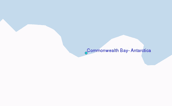