
| Distance / Altitude | Location | Report Date / Time | Live Weather | Wind | Gusts | Temp. | Visibility | Cloud |
|---|---|---|---|---|---|---|---|---|
| 9 km N / 3 m | BUOY-VAKF1 (Marine) | 2024-04-25 09:48 local (2024/04/25 13:48 GMT) | light winds from the NE (18 km/h at 40) | 25°C | - | |||
| 13 km WNW / 33 m | Coconut Grove (Florida) | 2024-04-25 10:17 local (2024/04/25 14:17 GMT) | dry | wind obs. (8 kph from 30 degs) was rejected (- km/h at -) | 26°C | - | - - 0 | |
| 17 km ENE / 15 m | SHIP2683 (Marine) | 2024-04-25 10:00 local (2024/04/25 14:00 GMT) | - (- km/h at -) | — | - km | |||
| 18 km W / 12 m | Coconut Grove (Florida) | 2024-04-25 08:30 local (2024/04/25 12:30 GMT) | dry | calm (2 km/h at 254) | 23°C | - | - - 0 | |
| 18 km W / 4 m | S. Miami (Florida) | 2024-04-25 09:23 local (2024/04/25 13:23 GMT) | - | calm (0 km/h at 0) | 24°C | - | - - 0 |
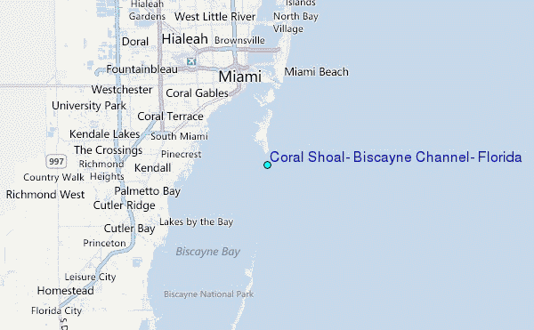
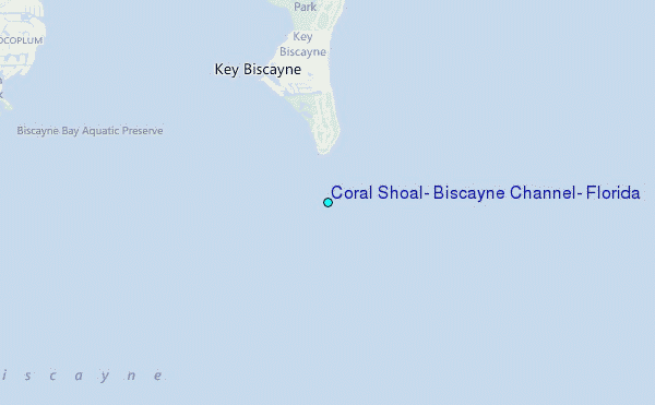
Choose Coral Shoal, Biscayne Channel, Florida Location Map Zoom:
| Contours: | Roads & Rivers: | Select a
tide station / surf break / city |
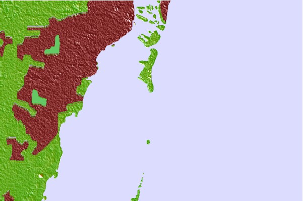
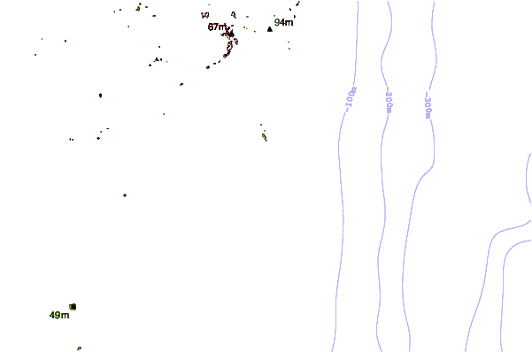
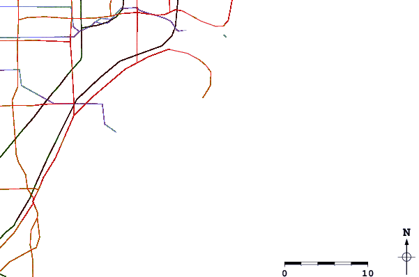
Use this relief map to navigate to tide stations, surf breaks and cities that are in the area of Coral Shoal, Biscayne Channel, Florida.
Other Nearby Locations' tide tables and tide charts to Coral Shoal, Biscayne Channel, Florida:
click location name for more details
 Surf breaks close to Coral Shoal, Biscayne Channel, Florida:
|
||
|---|---|---|
| Closest surf break | South Beach (Miami) | 8 mi |
| Second closest surf break | Fifth Street (Miami) | 9 mi |
| Third closest surf break | 21st Street (Miami) | 11 mi |
| Fourth closest surf break | Dunes Hotel (Miami) | 11 mi |
| Fifth closest surf break | Harbor House | 17 mi |

 Nearest
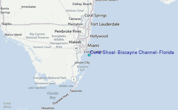