
| Distance / Altitude | Location | Report Date / Time | Live Weather | Wind | Gusts | Temp. | Visibility | Cloud |
|---|---|---|---|---|---|---|---|---|
| 11 km N / 3 m | BUOY-CDEA2 (Marine) | 2024-04-18 21:22 local (2024/04/19 05:22 GMT) | calm (4 km/h at 60) | 9°C | - | |||
| 51 km WNW / 3 m | BUOY-PLXA2 (Marine) | 2024-04-18 21:00 local (2024/04/19 05:00 GMT) | light winds from the NNW (11 km/h at 340) | 10°C | - | |||
| 75 km ESE / 206 m | Klawock Airport (Alaska) | 2024-04-18 19:53 local (2024/04/19 03:53 GMT) | Clear | light winds from the SSW (7 km/h at 200) | 11°C | 16 | ||
| 78 km SE / 3 m | BUOY-CRGA2 (Marine) | 2024-04-18 21:24 local (2024/04/19 05:24 GMT) | - (0 km/h at -) | 10°C | - | |||
| 91 km ENE / 3 m | BUOY-LCNA2 (Marine) | 2024-04-18 21:10 local (2024/04/19 05:10 GMT) | light winds from the S (8 km/h at 190) | 11°C | - |
| Contours: | Roads & Rivers: | Select a
tide station / surf break / city |
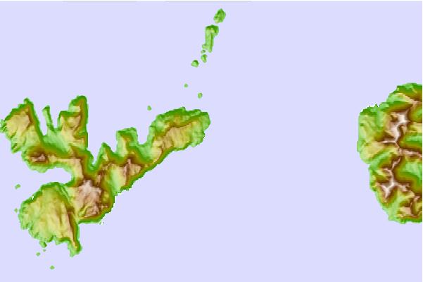
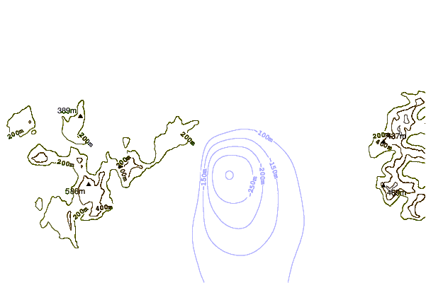
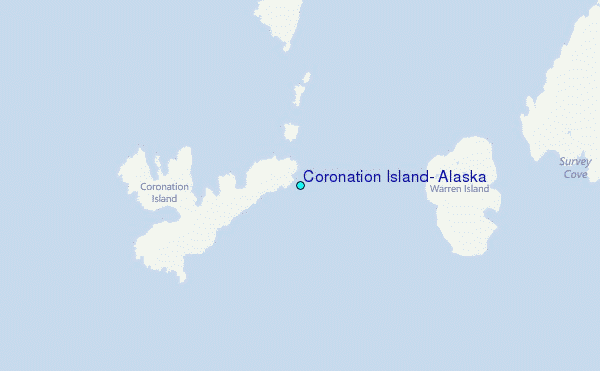
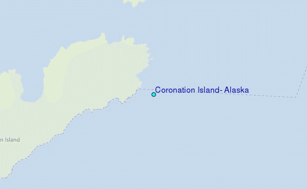
Use this relief map to navigate to tide stations, surf breaks and cities that are in the area of Coronation Island, Alaska.
Other Nearby Locations' tide tables and tide charts to Coronation Island, Alaska:
click location name for more details
 Surf breaks close to Coronation Island, Alaska:
|
||
|---|---|---|
| Closest surf break | Lepus Beach (Haida-Gwaii) | 127 mi |
| Second closest surf break | Tow Hill Beach | 156 mi |
| Third closest surf break | Cannon Beach | 324 mi |
| Fourth closest surf break | Graveyards | 328 mi |
| Fifth closest surf break | Ocean Cape | 329 mi |

 Nearest
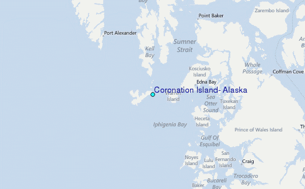