
| Distance / Altitude | Location | Report Date / Time | Live Weather | Wind | Gusts | Temp. | Visibility | Cloud |
|---|---|---|---|---|---|---|---|---|
| 12 km S / 60 m | Hamburg wx (United States) | 2026-06-09 03:39 local (2026/06/09 07:39 GMT) | dry | calm (0 km/h at 0) | 14°C | - | - - 0 | |
| 16 km E / 121 m | Ghent wx (United States) | 2026-06-09 03:22 local (2026/06/09 07:22 GMT) | dry | calm (0 km/h at 323) | 13°C | - | - - 0 | |
| 17 km S / 56.4 m | Hudson (New York) | 2026-06-09 03:01 local (2026/06/09 07:01 GMT) | dry | calm (0 km/h at 138) | 12°C | - | - - 0 | |
| 20 km WSW / 193 m | Freehold wx (United States) | 2026-06-09 03:07 local (2026/06/09 07:07 GMT) | dry | calm (0 km/h at 134) | 12°C | - | - - 0 | |
| 21 km NNE / 62 m | South Schodack wx (United States) | 2026-06-09 03:37 local (2026/06/09 07:37 GMT) | dry | calm (0 km/h at 0) | 15°C | - | - - 0 | |
| 23 km SE / 161 m | Claverack (New York) | 2026-06-09 03:30 local (2026/06/09 07:30 GMT) | dry | light winds from the S (6 km/h at 171) | 16°C | - | - - 0 | |
| 24 km WSW / 165 m | East Durham wx (United States) | 2026-06-09 02:26 local (2026/06/09 06:26 GMT) | dry | calm (0 km/h at 124) | 11°C | - | - - 0 | |
| 25 km SE / 289 m | North Hillsdale wx (United States) | 2026-06-09 03:37 local (2026/06/09 07:37 GMT) | dry | calm (2 km/h at 0) | 15°C | - | - - 0 | |
| 27 km N / 49 m | Glenmont (New York) | 2026-06-09 02:16 local (2026/06/09 06:16 GMT) | dry | calm (0 km/h at 10) | 13°C | - | - - 0 | |
| 33 km NW / 467 m | Wolf Hill wx (United States) | 2026-06-09 03:02 local (2026/06/09 07:02 GMT) | dry | calm (0 km/h at 159) | 16°C | - | - - 0 |

| Contours: | Roads & Rivers: | Select a
tide station / surf break / city |
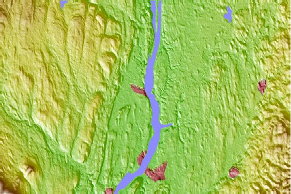
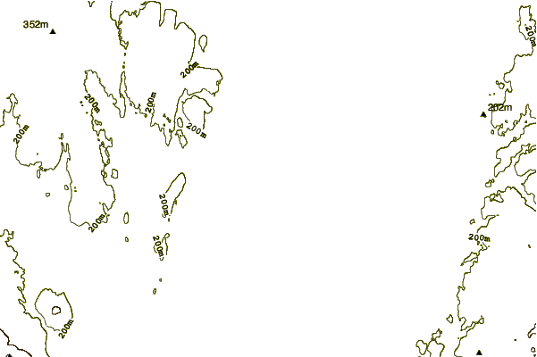
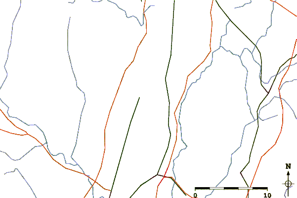
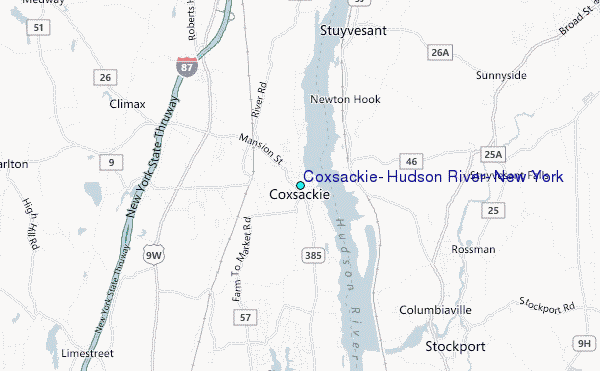
Use this relief map to navigate to tide stations, surf breaks and cities that are in the area of Coxsackie, Hudson River, New York.
Other Nearby Locations' tide tables and tide charts to Coxsackie, Hudson River, New York:
click location name for more details
 Surf breaks close to Coxsackie, Hudson River, New York:
|
||
|---|---|---|
| Closest surf break | Coastguards | 121 mi |
| Second closest surf break | Fire Island | 122 mi |
| Third closest surf break | Gilgo | 122 mi |
| Fourth closest surf break | Jones Beach | 122 mi |
| Fifth closest surf break | Tobay beach | 122 mi |


 Nearest
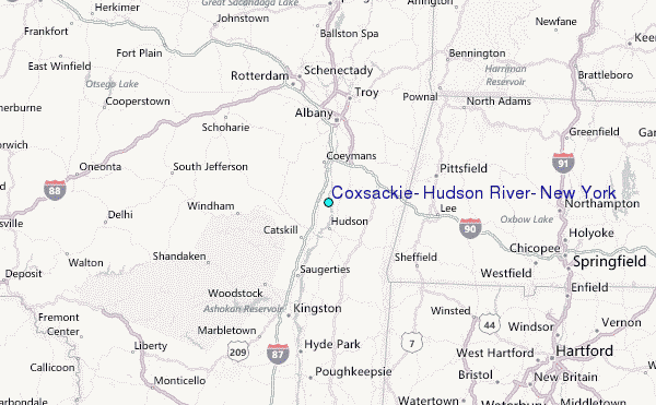