
| Distance / Altitude | Location | Report Date / Time | Live Weather | Wind | Gusts | Temp. | Visibility | Cloud |
|---|---|---|---|---|---|---|---|---|
| 19 km WNW / 3 m | Blakeney Overfalls Waverider (Marine) | 2026-06-09 05:00 local (2026/06/09 04:00 GMT) | - (- km/h at -) | — | - | |||
| 20 km SE / 3 m | Happisburgh Waverider (Marine) | 2026-06-09 05:00 local (2026/06/09 04:00 GMT) | - (- km/h at -) | — | - | |||
| 22 km WSW / 10 m | Blakeney Harbour (United Kingdom) | 2026-06-09 05:00 local (2026/06/09 04:00 GMT) | - | fresh winds from the SSW (37 km/h at 210) | 10°C | - | - - 0 | |
| 29 km S / 11 m | Taverham wx (United Kingdom) | 2026-06-09 05:12 local (2026/06/09 04:12 GMT) | dry | calm (5 km/h at 177) | 8°C | - | - - 0 | |
| 33 km S / 16 m | Norwich (United Kingdom) | 2026-06-09 04:53 local (2026/06/09 03:53 GMT) | dry | calm (0 km/h at 211) | 8°C | - | - - 0 | |
| 35 km S / 506 m | Norwich Airport (United Kingdom) | 2026-06-09 04:20 local (2026/06/09 03:20 GMT) | - | light winds from the WSW (9 km/h at 240) | 8°C | 10.0 | ||
| 50 km N / 15 m | hy2c1E53N (Marine) | 2026-06-09 02:58 local (2026/06/09 01:58 GMT) | moderate winds from the W (23 km/h at 275) | — | - km | |||
| 57 km W / 3 m | North Well Waverider (Marine) | 2026-06-09 05:00 local (2026/06/09 04:00 GMT) | - (- km/h at -) | — | - | |||
| 58 km NNE / 3 m | East Anglia 2 Buoy (Marine) | 2026-06-09 05:00 local (2026/06/09 04:00 GMT) | moderate winds from the W (22 km/h at 260) | 12°C | 9.3 | |||
| 60 km SW / 216 m | Marham RAF Airport (United Kingdom) | 2026-06-09 03:50 local (2026/06/09 02:50 GMT) | - | light winds from the SSW (9 km/h at 210) | — | 0.0 |
| Contours: | Roads & Rivers: | Select a
tide station / surf break / city |
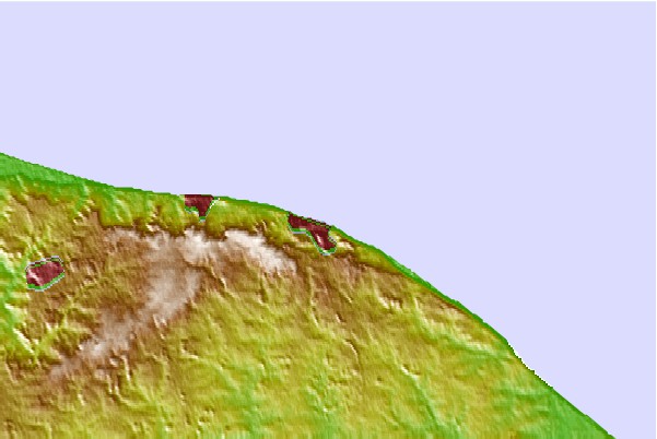
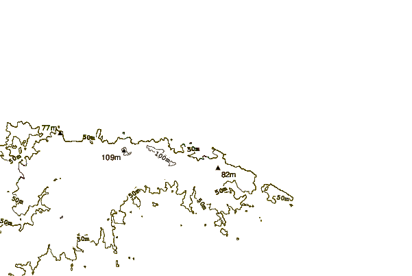
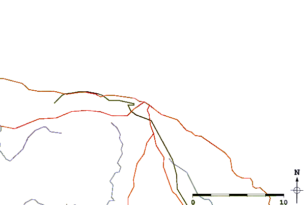
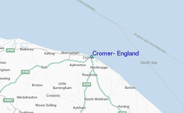
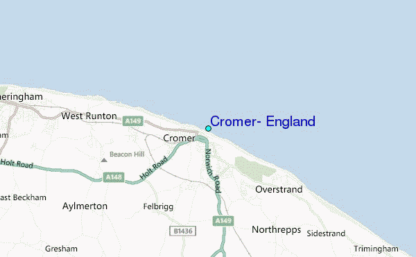
Use this relief map to navigate to tide stations, surf breaks and cities that are in the area of Cromer, England.
Other Nearby Locations' tide tables and tide charts to Cromer, England:
click location name for more details
 Surf breaks close to Cromer, England:
|
||
|---|---|---|
| Closest surf break | Cromer | 1 mi |
| Second closest surf break | East Runton | 2 mi |
| Third closest surf break | Walcott | 15 mi |
| Fourth closest surf break | Happisburgh | 17 mi |
| Fifth closest surf break | Wells-next-the-sea | 19 mi |


 Nearest
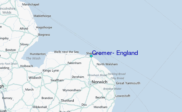