
| Distance / Altitude | Location | Report Date / Time | Live Weather | Wind | Gusts | Temp. | Visibility | Cloud |
|---|---|---|---|---|---|---|---|---|
| 181 km ESE / 274 m | Igloolik Airport (N.w. Territories) | 2024-04-23 13:00 local (2024/04/23 17:00 GMT) | - | light winds from the WSW (9 km/h at 240) | -16°C | 24 | few | |
| 224 km SSW / 325 m | Pelly Bay Airport (N.w. Territories) | 2024-04-23 13:00 local (2024/04/23 17:00 GMT) | - | moderate winds from the SSW (28 km/h at 210) | — | 24 | few few scattered | |
| 237 km SE / 210 m | Hall Beach Airport (N.w. Territories) | 2024-04-23 13:00 local (2024/04/23 17:00 GMT) | - | light winds from the W (15 km/h at 280) | — | 16 | ||
| 332 km N / 10 m | Arctic Bay Cs- NU (Canada) | 2024-04-23 13:00 local (2024/04/23 17:00 GMT) | no report | light winds from the W (11 km/h at 280) | -17°C | - | - no observation - | |
| 333 km N / 22 m | Arctic Bay Airport (Nunavut) | 2024-04-23 13:42 local (2024/04/23 17:42 GMT) | Light snow | light winds from the W (7 km/h at 270) | -10°C | 8 | overcast |
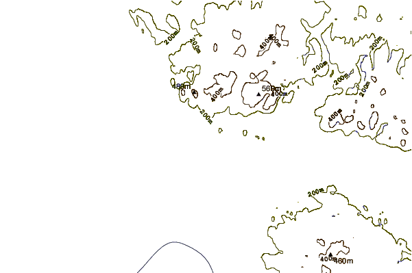
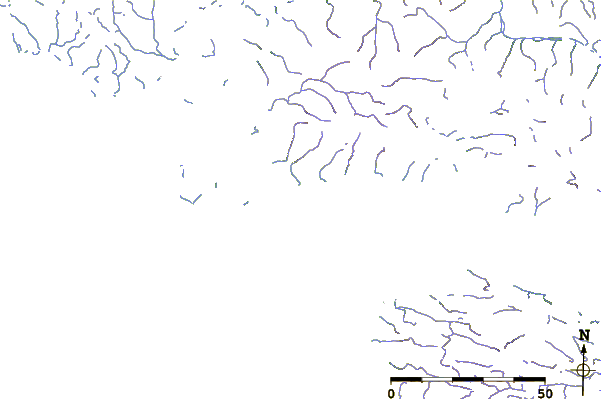
| Contours: | Roads & Rivers: | Select a
tide station / surf break / city |
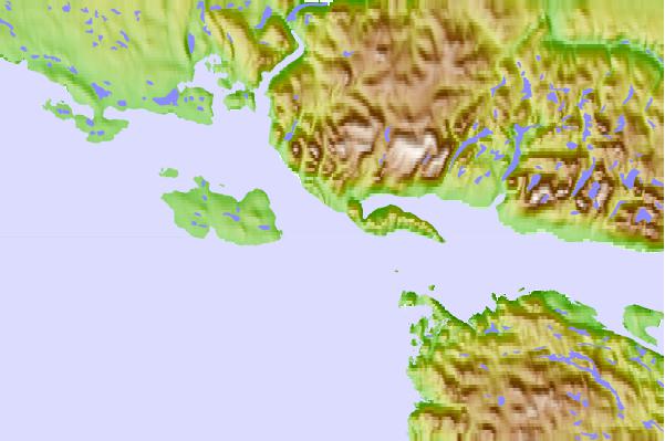
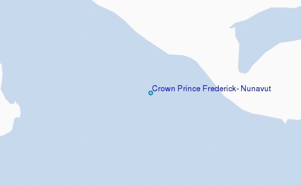
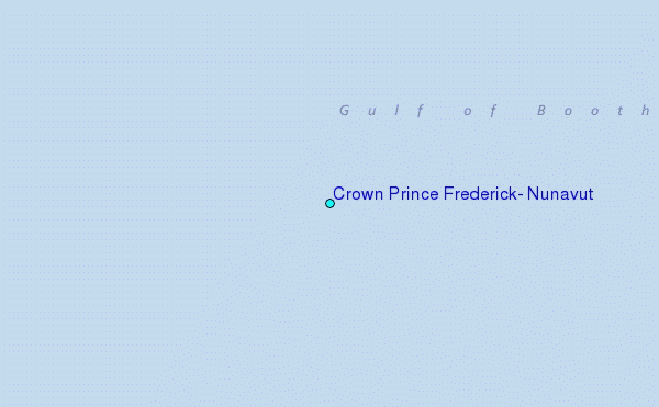
Use this relief map to navigate to tide stations, surf breaks and cities that are in the area of Crown Prince Frederick, Nunavut.
Other Nearby Locations' tide tables and tide charts to Crown Prince Frederick, Nunavut:
click location name for more details
 Surf breaks close to Crown Prince Frederick, Nunavut:
|
||
|---|---|---|
| Closest surf break | Marathon | 1472 mi |
| Second closest surf break | Keweenaw Peninsula | 1562 mi |
| Third closest surf break | Alona Bay | 1582 mi |
| Fourth closest surf break | Apostle Islands | 1594 mi |
| Fifth closest surf break | Ontonagon | 1603 mi |

 Nearest
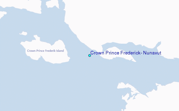