
| Distance / Altitude | Location | Report Date / Time | Live Weather | Wind | Gusts | Temp. | Visibility | Cloud |
|---|---|---|---|---|---|---|---|---|
| 65 km SSW / 192 m | Barcelona/General José Antonio Anzoátegui International Airport (Venezuela) | 2024-04-17 19:00 local (2024/04/17 23:00 GMT) | Haze - | calm (0 km/h at 0) | 32°C | 9.0 | broken | |
| 288 km SE / 113 m | Ciudad Guayana (Venezuela) | 2024-04-17 18:37 local (2024/04/17 22:37 GMT) | dry | calm (3 km/h at 117) | 32°C | - | - - 0 | |
| 292 km E / 39 m | Woodbrook wx (Trinidad and Tobago) | 2024-04-17 19:43 local (2024/04/17 23:43 GMT) | - | calm (0 km/h at 0) | — | - | - - 0 | |
| 293 km WSW / 860 m | Caracas (Venezuela) | 2024-04-17 19:27 local (2024/04/17 23:27 GMT) | dry | calm (5 km/h at 281) | 23°C | - | - - 0 | |
| 297 km E / 34 m | Saint Andrew wx (Trinidad and Tobago) | 2024-04-17 19:45 local (2024/04/17 23:45 GMT) | dry | calm (3 km/h at 140) | 28°C | - | - - 0 |
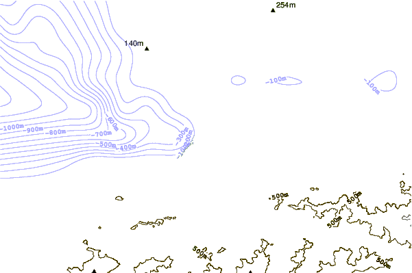
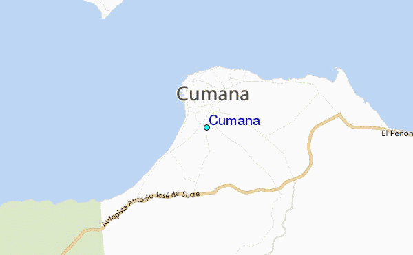
| Contours: | Roads & Rivers: | Select a
tide station / surf break / city |
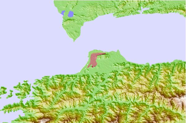
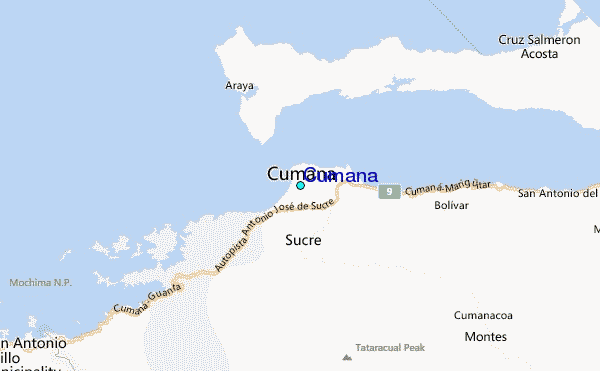
Use this relief map to navigate to tide stations, surf breaks and cities that are in the area of Cumaná.
Other Nearby Locations' tide tables and tide charts to Cumaná:
click location name for more details
 Surf breaks close to Cumaná:
|
||
|---|---|---|
| Closest surf break | Chacopata | 31 mi |
| Second closest surf break | Piedras Negras | 39 mi |
| Third closest surf break | Punta Arena | 40 mi |
| Fourth closest surf break | Funeral Point | 44 mi |
| Fifth closest surf break | Las Salinas | 47 mi |

 Nearest