
| Distance / Altitude | Location | Report Date / Time | Live Weather | Wind | Gusts | Temp. | Visibility | Cloud |
|---|---|---|---|---|---|---|---|---|
| 104 km S / 0 m | lightning 80km N of Moa (Cuba) | 2026-06-09 06:51 local (2026/06/09 10:51 GMT) | Thunderstorm | (- km/h at -) | — | |||
| 179 km NW / 3 m | SHIP6785 (Marine) | 2026-06-09 06:00 local (2026/06/09 10:00 GMT) | moderate winds from the ENE (22 km/h at 70) | 27°C | 20.4 | |||
| 211 km N / 5 m | Cockburn Town/San Salvador Airport (Bahamas) | 2026-06-09 05:00 local (2026/06/09 09:00 GMT) | - | light winds from the NE (7 km/h at 50) | 25°C | 10.0 | ||
| 225 km E / 1 m | Kingston wx (Turks and Caicos Islands) | 2026-06-09 06:23 local (2026/06/09 10:23 GMT) | dry | light winds from the E (16 km/h at 81) | 27°C | - | - - 0 | |
| 234 km E / 0 m | Sandy Point (Turks and Caicos Islands) | 2026-06-09 06:11 local (2026/06/09 10:11 GMT) | dry | calm (0 km/h at 314) | 25°C | - | - - 0 | |
| 179 km NW / 3 m | SHIP7955 (Marine) | 2026-06-09 06:00 local (2026/06/09 10:00 GMT) | moderate winds from the ENE (22 km/h at 70) | 27°C | 20.4 | |||
| 179 km NW / 15 m | SHIP5466 (Marine) | 2026-06-09 06:00 local (2026/06/09 10:00 GMT) | moderate winds from the ENE (22.32 km/h at 70) | 18°C | 17.7 km | |||
| 179 km NW / - m | SHIP1607 (ocean) | 2026-06-09 06:01 local (2026/06/09 10:01 GMT) | Clear skies | moderate winds from the ENE (22 km/h at 70) | 27°C | 20 km | no observation | |
| 210 km N / 5 m | Cockburn Town/San Salvador Airport (Bahamas) | 2026-06-09 05:00 local (2026/06/09 09:00 GMT) | - | light winds from the NE (7 km/h at 50) | 25°C | 10.0 | ||
| 226 km E / 1 m | Kingston wx (Turks and Caicos Islands) | 2026-06-09 06:23 local (2026/06/09 10:23 GMT) | dry | light winds from the E (16 km/h at 81) | 27°C | - | - - 0 |
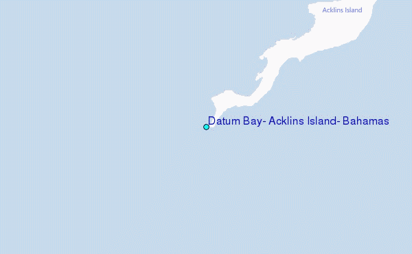
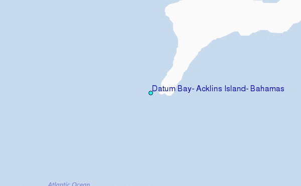
Choose Datum Bay, Acklins Island, Bahamas Location Map Zoom:
| Contours: | Roads & Rivers: | Select a
tide station / surf break / city |
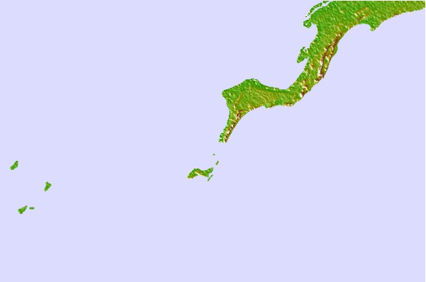
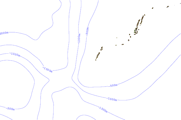
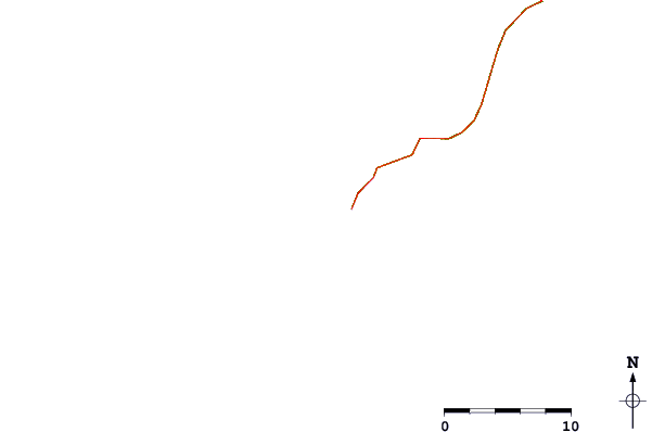
Use this relief map to navigate to tide stations, surf breaks and cities that are in the area of Datum Bay, Acklins Island, Bahamas.
Other Nearby Locations' tide tables and tide charts to Datum Bay, Acklins Island, Bahamas:
click location name for more details
 Surf breaks close to Datum Bay, Acklins Island, Bahamas:
|
||
|---|---|---|
| Closest surf break | Grace Bay Cut (Providenciales) | 137 mi |
| Second closest surf break | Fort George Cut (Pine Cay) | 140 mi |
| Third closest surf break | Pine Cay Shorebreak | 142 mi |
| Fourth closest surf break | Mudjin Harbour (Middle-Caicos) | 161 mi |
| Fifth closest surf break | Rock Sound | 220 mi |


 Nearest
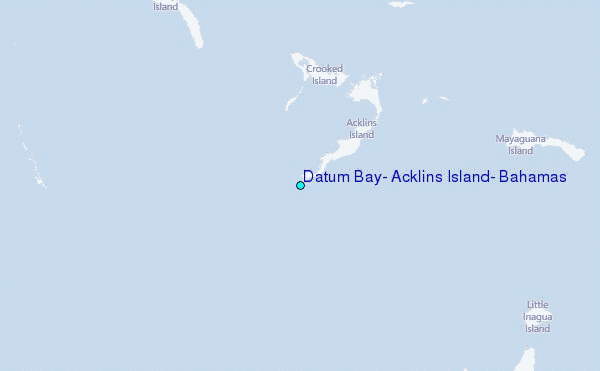