
| Distance / Altitude | Location | Report Date / Time | Live Weather | Wind | Gusts | Temp. | Visibility | Cloud |
|---|---|---|---|---|---|---|---|---|
| 97 km SSW / 3 m | BUOY-MRYA2 (Marine) | 2024-04-18 12:02 local (2024/04/18 20:02 GMT) | light winds from the NNW (11 km/h at 330) | 10°C | - | |||
| 102 km SW / 3 m | BUOY-SXXA2 (Marine) | 2024-04-18 12:03 local (2024/04/18 20:03 GMT) | light winds from the NNW (15 km/h at 330) | 13°C | - | |||
| 103 km SW / 3 m | BUOY-KECA2 (Marine) | 2024-04-18 11:48 local (2024/04/18 19:48 GMT) | light winds from the WNW (18 km/h at 300) | 10°C | - | |||
| 104 km SW / 3 m | BUOY-SLXA2 (Marine) | 2024-04-18 12:03 local (2024/04/18 20:03 GMT) | light winds from the WNW (17 km/h at 300) | 11°C | - | |||
| 105 km SW / 3 m | BUOY-KEXA2 (Marine) | 2024-04-18 12:02 local (2024/04/18 20:02 GMT) | light winds from the NW (8 km/h at 310) | 12°C | - |
| Contours: | Roads & Rivers: | Select a
tide station / surf break / city |
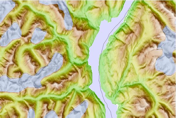
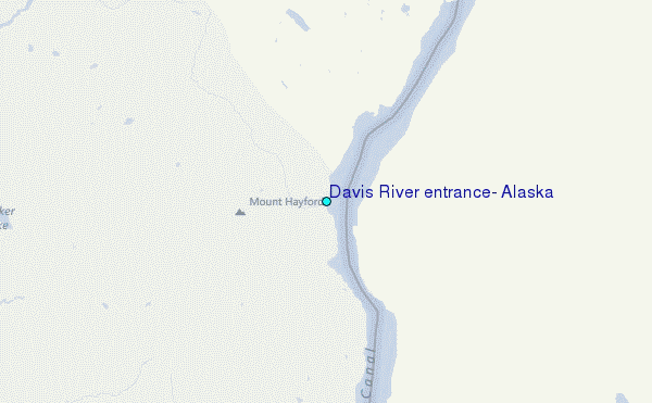
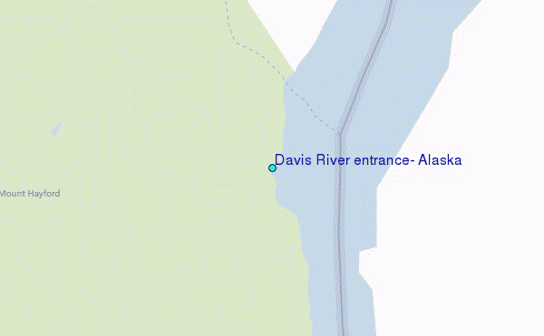
Use this relief map to navigate to tide stations, surf breaks and cities that are in the area of Davis River entrance, Alaska.
Other Nearby Locations' tide tables and tide charts to Davis River entrance, Alaska:
click location name for more details
 Surf breaks close to Davis River entrance, Alaska:
|
||
|---|---|---|
| Closest surf break | Tow Hill Beach | 133 mi |
| Second closest surf break | Lepus Beach (Haida-Gwaii) | 158 mi |
| Third closest surf break | Cannon Beach | 438 mi |
| Fourth closest surf break | Graveyards | 442 mi |
| Fifth closest surf break | Ocean Cape | 443 mi |

 Nearest
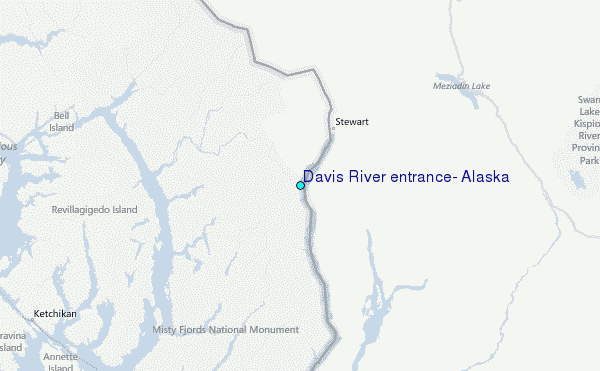