
| Distance / Altitude | Location | Report Date / Time | Live Weather | Wind | Gusts | Temp. | Visibility | Cloud |
|---|---|---|---|---|---|---|---|---|
| 52 km S / 34 m | Shark Bay Airport (Australia) | 2026-06-09 11:00 local (2026/06/09 03:00 GMT) | no report | light winds from the SSW (13 km/h at 210) | 21°C | - | - no observation - | |
| 63 km NNE / 7 m | Carnarvon Airport (Australia) | 2026-06-09 11:00 local (2026/06/09 03:00 GMT) | no report | fresh winds from the S (30 km/h at 170) | 19°C | - | - no observation - | |
| 63 km NNE / 7 m | Carnarvon Airport (Australia) | 2026-06-09 11:00 local (2026/06/09 03:00 GMT) | no report | fresh winds from the S (30 km/h at 170) | 19°C | - | - no observation - | |
| 95 km WSW / 15 m | ASCATC113E25S (Marine) | 2026-06-09 10:00 local (2026/06/09 02:00 GMT) | fresh winds from the SSW (31 km/h at 207) | — | - km | |||
| 104 km WSW / 15 m | ASCATB113E25S (Marine) | 2026-06-09 09:32 local (2026/06/09 01:32 GMT) | moderate winds from the SSW (28 km/h at 212) | — | - km | |||
| 143 km WNW / 15 m | ASCATB113E24S (Marine) | 2026-06-09 09:32 local (2026/06/09 01:32 GMT) | moderate winds from the SW (28 km/h at 235) | — | - km | |||
| 145 km SSW / 15 m | ASCATC113E26S (Marine) | 2026-06-09 10:01 local (2026/06/09 02:01 GMT) | moderate winds from the SW (27 km/h at 233) | — | - km | |||
| 145 km WNW / 15 m | ASCATC113E24S (Marine) | 2026-06-09 10:00 local (2026/06/09 02:00 GMT) | fresh winds from the SW (29 km/h at 224) | — | - km | |||
| 149 km SSW / 15 m | ASCATB113E26S (Marine) | 2026-06-09 09:32 local (2026/06/09 01:32 GMT) | fresh winds from the SW (30 km/h at 233) | — | - km | |||
| 173 km WSW / 15 m | ASCATC112E25S (Marine) | 2026-06-09 10:00 local (2026/06/09 02:00 GMT) | fresh winds from the SSW (35 km/h at 210) | — | - km |
| Contours: | Roads & Rivers: | Select a
tide station / surf break / city |
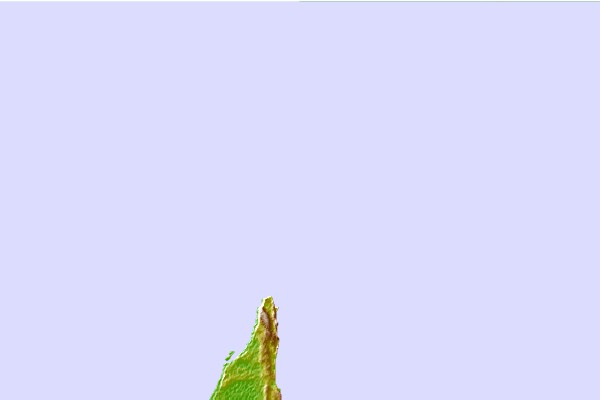

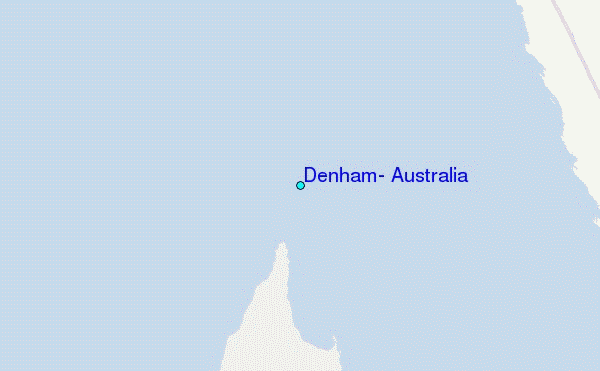
Use this relief map to navigate to tide stations, surf breaks and cities that are in the area of Denham, Australia.
Other Nearby Locations' tide tables and tide charts to Denham, Australia:
click location name for more details
 Surf breaks close to Denham, Australia:
|
||
|---|---|---|
| Closest surf break | Dirk Hartog Island | 54 mi |
| Second closest surf break | Steep Point | 54 mi |
| Third closest surf break | Red Bluff | 98 mi |
| Fourth closest surf break | Turtles | 101 mi |
| Fifth closest surf break | Gnaraloo | 116 mi |


 Nearest
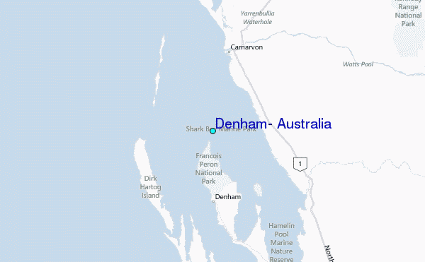