
| Distance / Altitude | Location | Report Date / Time | Live Weather | Wind | Gusts | Temp. | Visibility | Cloud |
|---|---|---|---|---|---|---|---|---|
| 11 km S / 216 m | Bali International Airport (Indonesia) | 2024-04-26 04:30 local (2024/04/25 20:30 GMT) | - | calm (4 km/h at 90) | 27°C | 10.0 | few | |
| 12 km S / 1 m | DenpasarNgurahRai (Indonesia) | 2024-04-26 05:00 local (2024/04/25 21:00 GMT) | Clouds dissolving | calm (4 km/h at 90) | 27°C | 30 km | mostly cloudy | |
| 97 km E / 12 m | PrayaLombok (Indonesia) | 2024-04-26 05:00 local (2024/04/25 21:00 GMT) | - | calm (2 km/h at 200) | 25°C | 27 km | scattered | |
| 105 km W / 221 m | Banyuwangi (Indonesia) | 2024-04-26 05:00 local (2024/04/25 21:00 GMT) | - | calm (0 km/h at 0) | 26°C | 28 km | mostly cloudy | |
| 118 km E / 97 m | Bandara Airport (Indonesia) | 2024-04-26 04:30 local (2024/04/25 20:30 GMT) | Dry and partly cloudy | calm (0 km/h at 0) | 25°C | 7.0 | broken |
| Contours: | Roads & Rivers: | Select a
tide station / surf break / city |
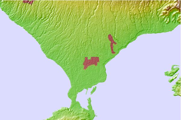
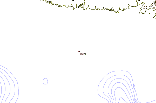
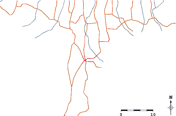
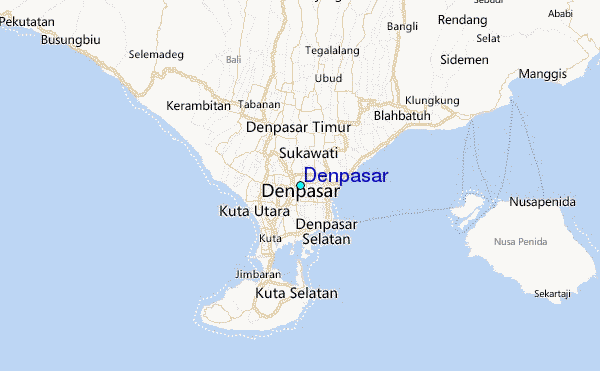
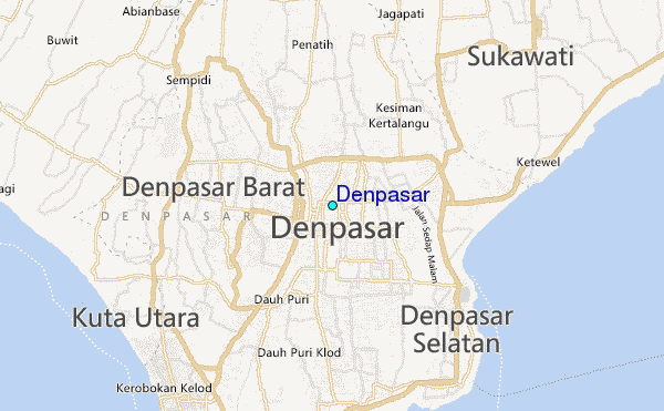
Use this relief map to navigate to tide stations, surf breaks and cities that are in the area of Denpasar.
Other Nearby Locations' tide tables and tide charts to Denpasar:
click location name for more details
 Surf breaks close to Denpasar:
|
||
|---|---|---|
| Closest surf break | Sanur Reef | 4 mi |
| Second closest surf break | Ketewel | 4 mi |
| Third closest surf break | Tandjung-Lefts | 4 mi |
| Fourth closest surf break | Tandjungs-Rights | 4 mi |
| Fifth closest surf break | Padma | 5 mi |

 Nearest
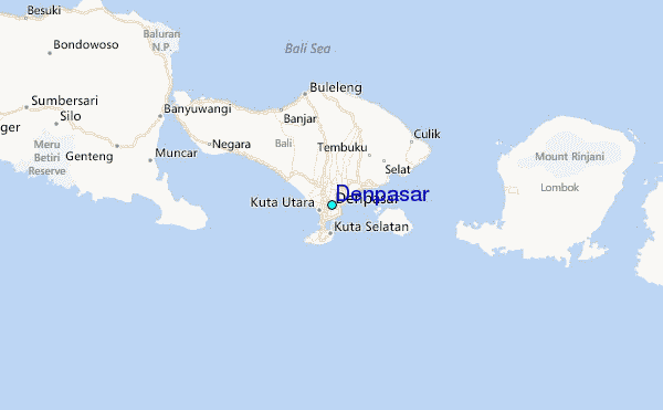