
| Distance / Altitude | Location | Report Date / Time | Live Weather | Wind | Gusts | Temp. | Visibility | Cloud |
|---|---|---|---|---|---|---|---|---|
| 119 km W / 12 m | AlorMaliKalahahi (Indonesia) | 2024-04-24 00:00 local (2024/04/23 15:00 GMT) | Lightning visible, no thunder heard | calm (0 km/h at 0) | 27°C | 28 km | few | |
| 204 km E / 15 m | ASCATB127E9S (Marine) | 2024-04-23 22:14 local (2024/04/23 13:14 GMT) | light winds from the SSE (18 km/h at 168) | — | - km | |||
| 232 km ESE / 15 m | ASCATB127E10S (Marine) | 2024-04-23 22:13 local (2024/04/23 13:13 GMT) | light winds from the SSE (17 km/h at 152) | — | - km | |||
| 242 km ESE / 15 m | ASCATB128E10S (Marine) | 2024-04-23 22:13 local (2024/04/23 13:13 GMT) | light winds from the SSE (17 km/h at 159) | — | - km | |||
| 245 km E / 15 m | ASCATB128E9S (Marine) | 2024-04-23 22:14 local (2024/04/23 13:14 GMT) | moderate winds from the SSE (20 km/h at 161) | — | - km |
| Contours: | Roads & Rivers: | Select a
tide station / surf break / city |
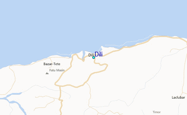
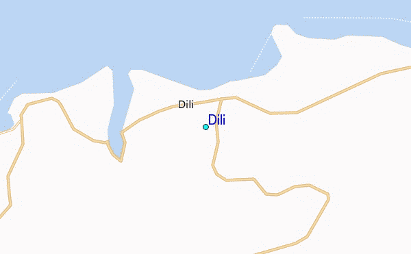
Use this relief map to navigate to tide stations, surf breaks and cities that are in the area of Dili.
Other Nearby Locations' tide tables and tide charts to Dili:
click location name for more details
 Surf breaks close to Dili:
|
||
|---|---|---|
| Closest surf break | Digger | 58 mi |
| Second closest surf break | Nembrala | 140 mi |
| Third closest surf break | Boa | 247 mi |
| Fourth closest surf break | Do'o | 247 mi |
| Fifth closest surf break | T-Land | 247 mi |

 Nearest
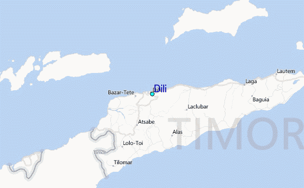