
| Distance / Altitude | Location | Report Date / Time | Live Weather | Wind | Gusts | Temp. | Visibility | Cloud |
|---|---|---|---|---|---|---|---|---|
| 21 km S / 16 m | Woensdrecht (Netherlands) | 2024-04-24 10:00 local (2024/04/24 08:00 GMT) | Moderate to heavy rain showers | moderate winds from the NW (22 km/h at 310) | 6°C | 33 km | mostly cloudy | |
| 21 km S / 219 m | Woensdrecht Royal Netherlands Air Force Base Airport (Netherlands) | 2024-04-24 10:29 local (2024/04/24 08:29 GMT) | - | moderate winds from the NW.(Wind varies from 260 to 030 degs) (22 km/h at 310) | 7°C | 10.0 | few | |
| 21 km SSW / 0 m | Marollegat (Netherlands) | 2024-04-24 10:00 local (2024/04/24 08:00 GMT) | - | fresh winds from the NW (32 km/h at 320) | — | - | no observation | |
| 26 km WSW / 2 m | Stavenisse (Netherlands) | 2024-04-24 10:00 local (2024/04/24 08:00 GMT) | - | fresh winds from the NNW (32 km/h at 330) | — | - | no observation | |
| 29 km N / 4 m | RotterdamGeulhaven (Netherlands) | 2024-04-24 10:00 local (2024/04/24 08:00 GMT) | - | fresh winds from the NW (32 km/h at 320) | — | - | no observation |
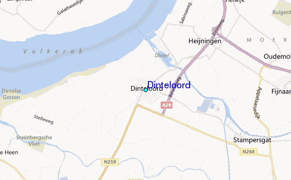
| Contours: | Roads & Rivers: | Select a
tide station / surf break / city |
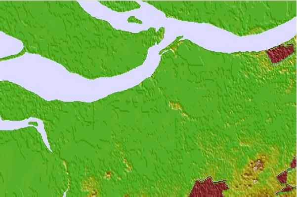

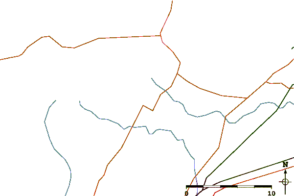
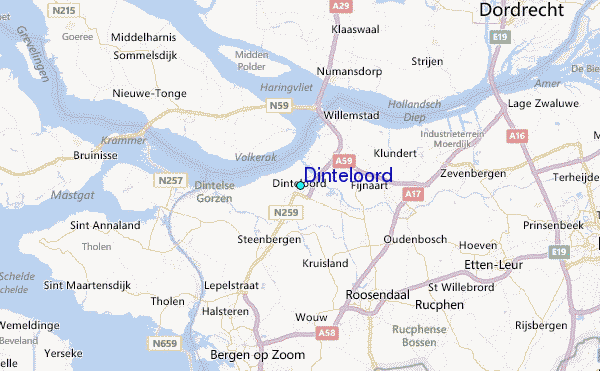
Use this relief map to navigate to tide stations, surf breaks and cities that are in the area of Dinteloord.
Other Nearby Locations' tide tables and tide charts to Dinteloord:
click location name for more details
 Surf breaks close to Dinteloord:
|
||
|---|---|---|
| Closest surf break | Blokken | 23 mi |
| Second closest surf break | Slufter | 23 mi |
| Third closest surf break | Maasvlakte | 24 mi |
| Fourth closest surf break | Maasexpress | 26 mi |
| Fifth closest surf break | Ter Heijde | 29 mi |

 Nearest
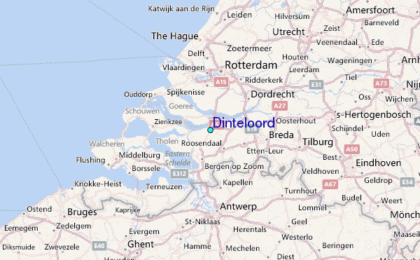