
| Distance / Altitude | Location | Report Date / Time | Live Weather | Wind | Gusts | Temp. | Visibility | Cloud |
|---|---|---|---|---|---|---|---|---|
| 10 km E / 3 m | BUOY-ACYN4 (Marine) | 2026-06-08 23:30 local (2026/06/09 03:30 GMT) | - (- km/h at -) | 17°C | - | |||
| 13 km NW / 217 m | Atlantic City Airport (New Jersey) | 2026-06-08 22:54 local (2026/06/09 02:54 GMT) | Clear | calm (0 km/h at 0) | 11°C | 16 | ||
| 22 km NNE / 3 m | BUOY-JCRN4 (Marine) | 2026-06-08 23:30 local (2026/06/09 03:30 GMT) | calm (5 km/h at 180) | 11°C | - | |||
| 47 km WSW / 218 m | Millville Airport (New Jersey) | 2026-06-08 22:54 local (2026/06/09 02:54 GMT) | Clear | calm (0 km/h at 0) | 8°C | 16 | ||
| 49 km SSW / 396 m | Wildwood Airport (New Jersey) | 2026-06-08 22:56 local (2026/06/09 02:56 GMT) | Clear | light winds from the ESE (6 km/h at 110) | 14°C | 16 | ||
| 56 km SSW / 3 m | BUOY-CMAN4 (Marine) | 2026-06-08 23:36 local (2026/06/09 03:36 GMT) | calm (4 km/h at 190) | — | - | |||
| 64 km SSW / 3 m | BUOY-BRND1 (Marine) | 2026-06-08 23:36 local (2026/06/09 03:36 GMT) | light winds from the SE (18 km/h at 130) | — | - | |||
| 68 km NNE / 25 m | Toms River (New jersey) | 2026-06-08 22:56 local (2026/06/09 02:56 GMT) | Clear | calm (0 km/h at 0) | 10°C | 16 | ||
| 73 km WSW / 3 m | BUOY-SJSN4 (Marine) | 2026-06-08 23:36 local (2026/06/09 03:36 GMT) | moderate winds from the SE (21 km/h at 130) | — | - | |||
| 73 km NNE / 4 m | Seaside Park- NJ (United States) | 2026-06-08 23:00 local (2026/06/09 03:00 GMT) | - | fresh winds from the SSW (35 km/h at 204) | 18°C | - | - - 0 |
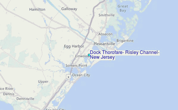
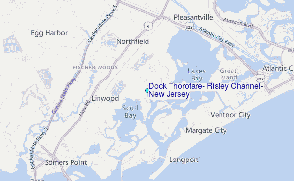
Choose Dock Thorofare, Risley Channel, New Jersey Location Map Zoom:
| Contours: | Roads & Rivers: | Select a
tide station / surf break / city |
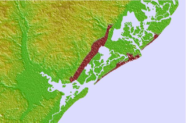

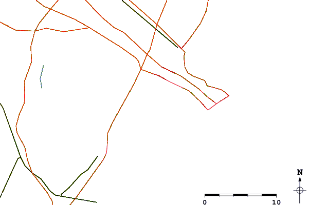
Use this relief map to navigate to tide stations, surf breaks and cities that are in the area of Dock Thorofare, Risley Channel, New Jersey.
Other Nearby Locations' tide tables and tide charts to Dock Thorofare, Risley Channel, New Jersey:
click location name for more details
 Surf breaks close to Dock Thorofare, Risley Channel, New Jersey:
|
||
|---|---|---|
| Closest surf break | Great Egg Harbor Inlet Longport | 3 mi |
| Second closest surf break | Margate Pier | 3 mi |
| Third closest surf break | 36th Street | 3 mi |
| Fourth closest surf break | Ventnor Pier | 3 mi |
| Fifth closest surf break | North Street | 4 mi |


 Nearest
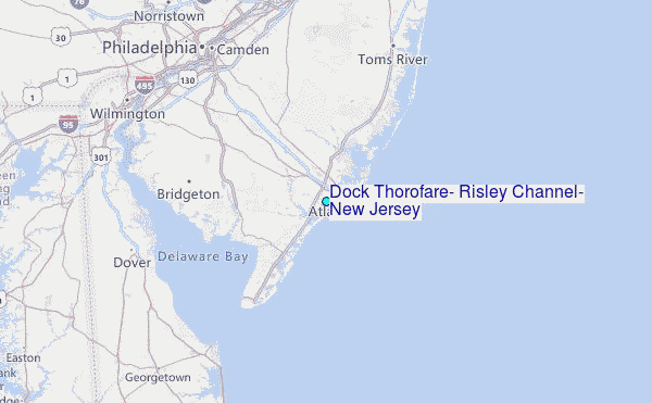