
| Distance / Altitude | Location | Report Date / Time | Live Weather | Wind | Gusts | Temp. | Visibility | Cloud |
|---|---|---|---|---|---|---|---|---|
| 19 km NW / 6 m | False Pass Airport (Alaska) | 2024-04-20 05:09 local (2024/04/20 13:09 GMT) | Dry and cloudy | calm (0 km/h at 0) | 1°C | 16 | broken overcast | |
| 66 km NNE / 161 m | Cold Bay Airport (Alaska) | 2024-04-20 05:34 local (2024/04/20 13:34 GMT) | Dry and cloudy | light winds from the NE (6 km/h at 50) | 1°C | 16 | broken overcast | |
| 66 km NNE / 32 m | ColdBay-AK (United States) | 2024-04-20 04:00 local (2024/04/20 12:00 GMT) | - | light winds from the WNW (6 km/h at 300) | 1°C | 36 km | overcast | |
| 72 km NE / 3 m | BUOY-KGCA2 (Marine) | 2024-04-20 05:48 local (2024/04/20 13:48 GMT) | light winds from the NNW (8 km/h at 340) | — | - | |||
| 72 km NE / 3 m | BUOY-KCXA2 (Marine) | 2024-04-20 06:05 local (2024/04/20 14:05 GMT) | light winds from the N (11 km/h at 350) | 2°C | - |
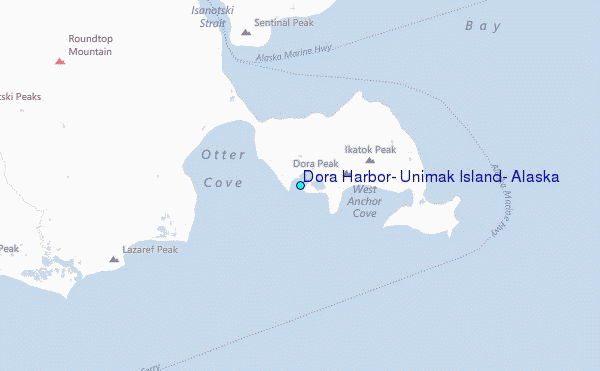
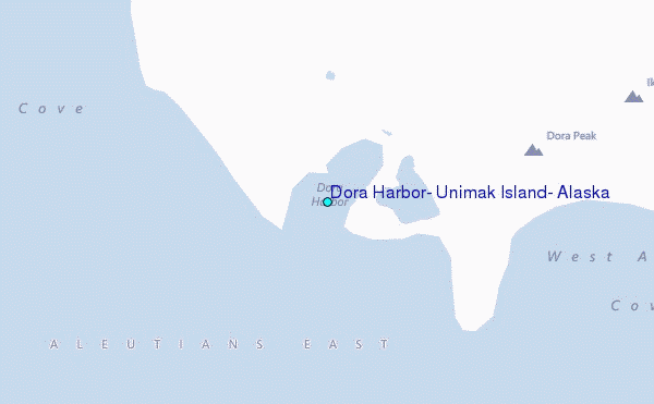
Choose Dora Harbor, Unimak Island, Alaska Location Map Zoom:
| Contours: | Roads & Rivers: | Select a
tide station / surf break / city |
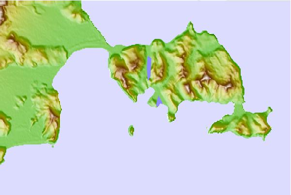
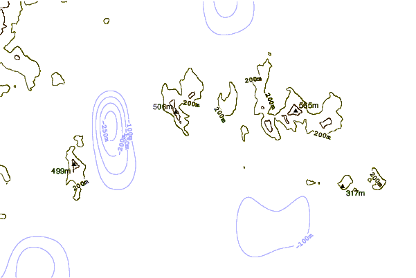
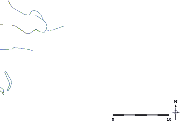
Use this relief map to navigate to tide stations, surf breaks and cities that are in the area of Dora Harbor, Unimak Island, Alaska.
Other Nearby Locations' tide tables and tide charts to Dora Harbor, Unimak Island, Alaska:
click location name for more details
 Surf breaks close to Dora Harbor, Unimak Island, Alaska:
|
||
|---|---|---|
| Closest surf break | Fossil Beach Kodiak | 461 mi |
| Second closest surf break | Monashka Bay | 468 mi |
| Third closest surf break | Termination Point | 470 mi |
| Fourth closest surf break | Mill Bay | 470 mi |
| Fifth closest surf break | Bird Point (Tidal Bore) | 603 mi |

 Nearest
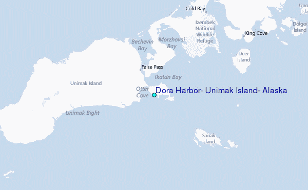