
| Distance / Altitude | Location | Report Date / Time | Live Weather | Wind | Gusts | Temp. | Visibility | Cloud |
|---|---|---|---|---|---|---|---|---|
| 151 km SE / 79 m | Pasto-Antonio Nariño Airport (Columbia) | 2024-04-19 11:00 local (2024/04/19 16:00 GMT) | Drizzle | light winds from the SE.(Wind varies from 100 to 170 degs) (7 km/h at 140) | 19°C | 10.0 | few overcast | |
| 192 km SSE / 2691 m | IpialesSanLuis (Colombia) | 2024-04-19 10:00 local (2024/04/19 15:00 GMT) | Intermittent light rain | calm (0 km/h at 0) | 12°C | 30 km | - overcast - | |
| 193 km SSE / 80 m | Ipiales/San Luis Airport (Columbia) | 2024-04-19 11:00 local (2024/04/19 16:00 GMT) | Light rain | calm (0 km/h at 0) | 12°C | 10.0 | broken scattered | |
| 201 km NE / 3 m | SHIP2238 (Marine) | 2024-04-19 12:00 local (2024/04/19 17:00 GMT) | light winds from the NNW (17 km/h at 340) | 29°C | 9.3 | |||
| 214 km S / 81 m | San Gabriel (Ecuador) | 2024-04-19 10:00 local (2024/04/19 15:00 GMT) | Precipitation within sight but not hitting ground | calm (4 km/h at 320) | 14°C | 35 km | overcast |
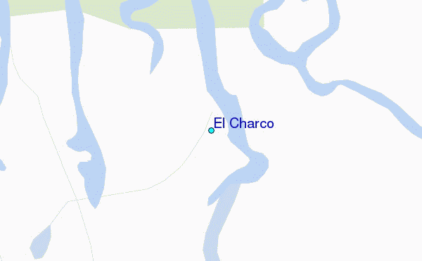
| Contours: | Roads & Rivers: | Select a
tide station / surf break / city |
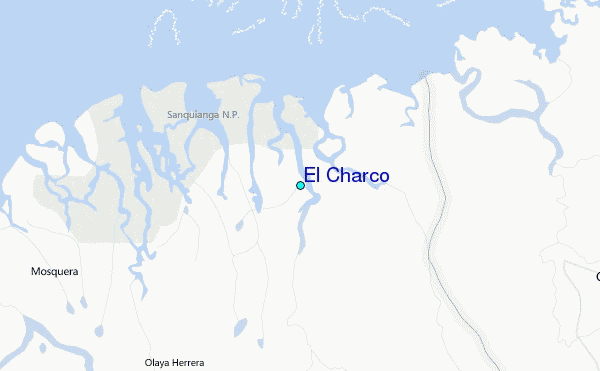
Use this relief map to navigate to tide stations, surf breaks and cities that are in the area of El Charco.
Other Nearby Locations' tide tables and tide charts to El Charco:
click location name for more details
 Surf breaks close to El Charco:
|
||
|---|---|---|
| Closest surf break | Tumaco | 70 mi |
| Second closest surf break | Playa Ladrilleros | 121 mi |
| Third closest surf break | Atacames | 163 mi |
| Fourth closest surf break | Casablanca | 168 mi |
| Fifth closest surf break | Tonchigue | 170 mi |

 Nearest
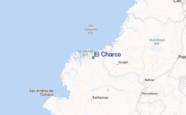