
| Distance / Altitude | Location | Report Date / Time | Live Weather | Wind | Gusts | Temp. | Visibility | Cloud |
|---|---|---|---|---|---|---|---|---|
| 2 km S / 3 m | BUOY-MLSC1 (Marine) | 2026-06-08 21:35 local (2026/06/09 04:35 GMT) | - (4 km/h at -) | 15°C | - | |||
| 13 km N / 216 m | Watsonville Airport (California) | 2026-06-08 19:53 local (2026/06/09 02:53 GMT) | Dry and cloudy | light winds from the SE (7 km/h at 140) | 17°C | 16 | overcast | |
| 16 km SW / 3 m | BUOY-46236 (Marine) | 2026-06-08 21:26 local (2026/06/09 04:26 GMT) | - (- km/h at -) | — | - | |||
| 16 km S / 41 m | Fort Ord/Fritzsche Airport (California) (California) | 2026-06-08 20:35 local (2026/06/09 03:35 GMT) | Dry and cloudy | light winds from the W (17 km/h at 260) | 13°C | 16 | overcast | |
| 17 km NW / 30 m | La Selva Beach wx (United States) | 2026-06-08 21:32 local (2026/06/09 04:32 GMT) | dry | calm (3 km/h at 339) | 16°C | - | - - 0 | |
| 18 km SSE / 19 m | East Garrison wx (United States) | 2026-06-08 21:27 local (2026/06/09 04:27 GMT) | dry | calm (5 km/h at 235) | 14°C | - | - - 0 | |
| 19 km NW / 40 m | Aptos (California) | 2026-06-08 21:00 local (2026/06/09 04:00 GMT) | dry | wind obs. (24 kph from 17 degs) was rejected (- km/h at -) | 16°C | - | - - 0 | |
| 19 km NW / 71 m | Rio del Mar (California) | 2026-06-08 20:54 local (2026/06/09 03:54 GMT) | dry | calm (0 km/h at 132) | 17°C | - | - - 0 | |
| 23 km SW / 3 m | BUOY-46092 (Marine) | 2026-06-08 21:08 local (2026/06/09 04:08 GMT) | light winds from the WSW (18 km/h at 240) | 13°C | - | |||
| 23 km SE / 218 m | Salinas Airport (California) | 2026-06-08 20:08 local (2026/06/09 03:08 GMT) | Dry and cloudy | moderate winds from the W (22 km/h at 270) | 16°C | 11 | overcast |
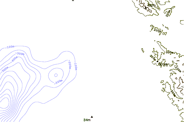
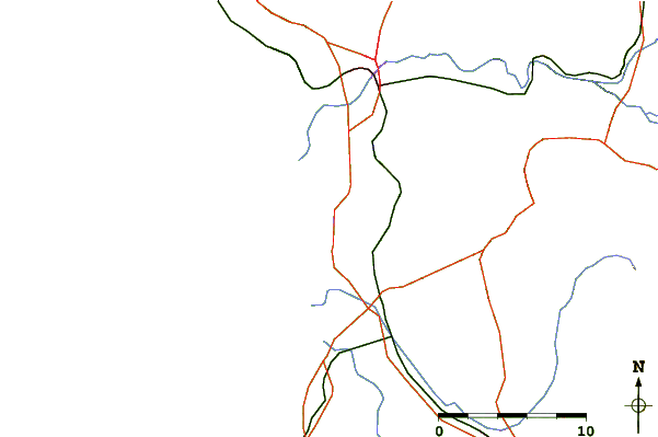
| Contours: | Roads & Rivers: | Select a
tide station / surf break / city |
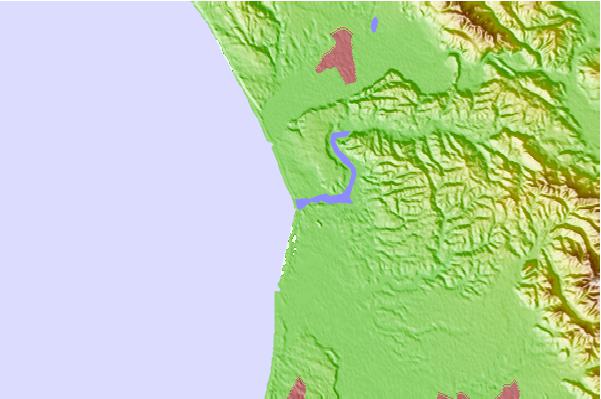
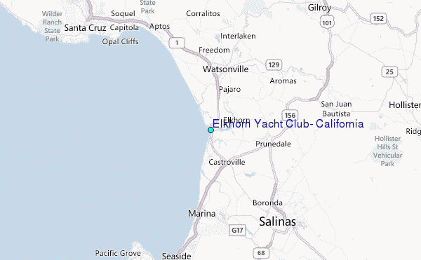
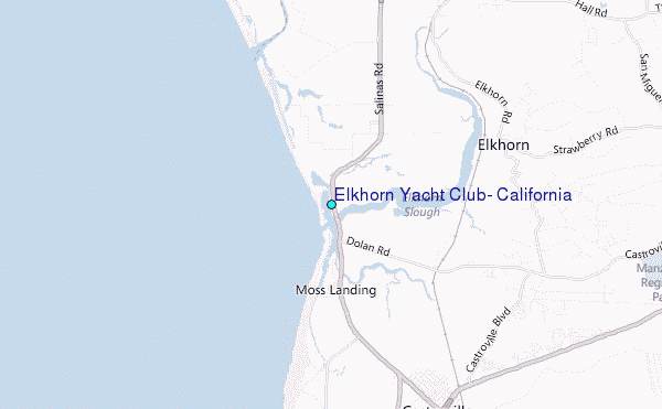
Use this relief map to navigate to tide stations, surf breaks and cities that are in the area of Elkhorn Yacht Club, California.
Other Nearby Locations' tide tables and tide charts to Elkhorn Yacht Club, California:
click location name for more details
 Surf breaks close to Elkhorn Yacht Club, California:
|
||
|---|---|---|
| Closest surf break | Moss Landing | 1 mi |
| Second closest surf break | Salinas River State Beach | 1 mi |
| Third closest surf break | Zmudowski State Beach | 1 mi |
| Fourth closest surf break | Marina State Beach | 5 mi |
| Fifth closest surf break | Sunset State Beach | 7 mi |


 Nearest
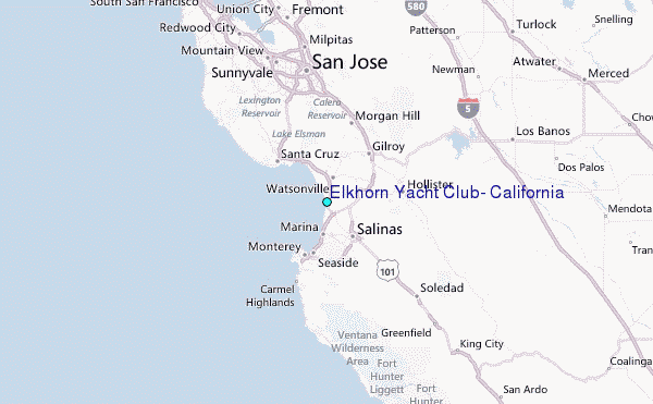