
| Distance / Altitude | Location | Report Date / Time | Live Weather | Wind | Gusts | Temp. | Visibility | Cloud |
|---|---|---|---|---|---|---|---|---|
| 333 km SE / 3 m | SHIP6262 (Marine) | 2026-06-09 15:00 local (2026/06/09 03:00 GMT) | - (- km/h at -) | — | - | |||
| 405 km SE / 215 m | Kwajalein/buchol Airport (Marshall Islands) | 2026-06-09 14:40 local (2026/06/09 02:40 GMT) | Dry and partly cloudy | light winds from the ENE (7 km/h at 70) | 30°C | 16 | scattered scattered broken | |
| 405 km SE / 3 m | BUOY-KWJP8 (Marine) | 2026-06-09 15:18 local (2026/06/09 03:18 GMT) | - (- km/h at -) | — | - | |||
| 732 km S / 178 m | Kosrae Island Airport (Micronesia) | 2026-06-09 13:50 local (2026/06/09 01:50 GMT) | Shower light rain shower | light winds from the SE (9 km/h at 130) | 29°C | 16 | broken broken broken | |
| 810 km SE / 208 m | Majuro Atoll Airport (Marshall Islands) | 2026-06-09 13:57 local (2026/06/09 01:57 GMT) | Dry and partly cloudy | light winds from the ENE (13 km/h at 60) | 32°C | 24 | few scattered | |
| 348 km SE / 3 m | SHIP5721 (Marine) | 2026-06-09 14:00 local (2026/06/09 02:00 GMT) | - (- km/h at -) | — | - | |||
| 348 km SE / 3 m | SHIP5154 (Marine) | 2026-06-09 14:00 local (2026/06/09 02:00 GMT) | - (- km/h at -) | — | - | |||
| 348 km SE / 3 m | SHIP9668 (Marine) | 2026-06-09 14:00 local (2026/06/09 02:00 GMT) | - (- km/h at -) | — | - | |||
| 404 km SE / 215 m | Kwajalein/buchol Airport (Marshall Islands) | 2026-06-09 14:40 local (2026/06/09 02:40 GMT) | Dry and partly cloudy | light winds from the ENE (7 km/h at 70) | 30°C | 16 | scattered scattered broken | |
| 404 km SE / 3 m | BUOY-KWJP8 (Marine) | 2026-06-09 15:18 local (2026/06/09 03:18 GMT) | - (- km/h at -) | — | - |
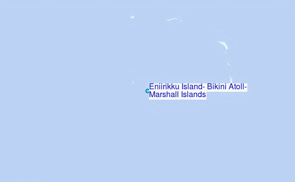
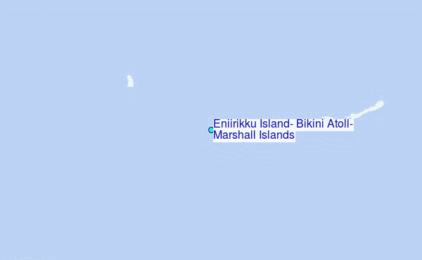
Choose Eniirikku Island, Bikini Atoll, Marshall Islands Location Map Zoom:
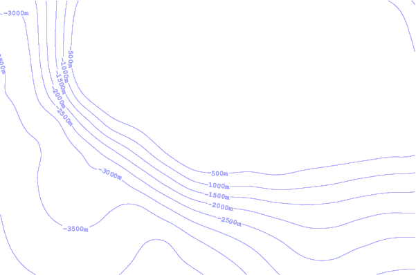
| Contours: | Roads & Rivers: | Select a
tide station / surf break / city |
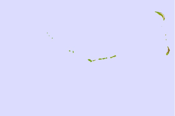
Use this relief map to navigate to tide stations, surf breaks and cities that are in the area of Eniirikku Island, Bikini Atoll, Marshall Islands.
Other Nearby Locations' tide tables and tide charts to Eniirikku Island, Bikini Atoll, Marshall Islands:
click location name for more details
 Surf breaks close to Eniirikku Island, Bikini Atoll, Marshall Islands:
|
||
|---|---|---|
| Closest surf break | Sidedish | 457 mi |
| Second closest surf break | Walung | 458 mi |
| Third closest surf break | Naa | 859 mi |
| Fourth closest surf break | Bird Island | 1337 mi |
| Fifth closest surf break | Simberi Island | 1338 mi |


 Nearest
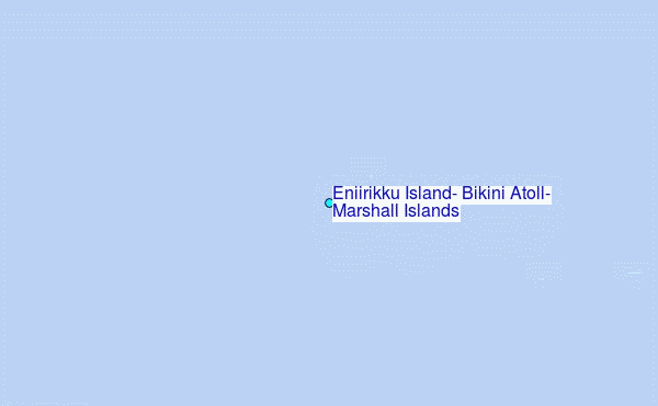