
| Distance / Altitude | Location | Report Date / Time | Live Weather | Wind | Gusts | Temp. | Visibility | Cloud |
|---|---|---|---|---|---|---|---|---|
| 19 km NNE / 212 m | Chiclayo/Capitán FAP José A. Quiñones Gonzales International Airport (Peru) | 2024-04-17 20:00 local (2024/04/18 01:00 GMT) | - | moderate winds from the S (22 km/h at 180) | 20°C | 10.0 | few | |
| 157 km SE / 215 m | Trujillo Airport (Peru) | 2024-04-17 20:25 local (2024/04/18 01:25 GMT) | Mist - | light winds from the SE (15 km/h at 130) | 18°C | 5.0 | broken | |
| 211 km NW / 1 m | Piura/Capitán FAP Guillermo Concha Iberico International Airport (Peru) | 2024-04-17 20:00 local (2024/04/18 01:00 GMT) | - | moderate winds from the S (26 km/h at 190) | — | 0.0 | ||
| 268 km NNE / 1219 m | Palanda wx (Ecuador) | 2024-04-17 20:43 local (2024/04/18 01:43 GMT) | - | light winds from the ESE (6 km/h at 112) | 13°C | - | - - 0 | |
| 303 km N / 2163 m | Gonzanamá wx (Ecuador) | 2024-04-17 20:45 local (2024/04/18 01:45 GMT) | - | calm (0 km/h at 132) | 11°C | - | - - 0 |
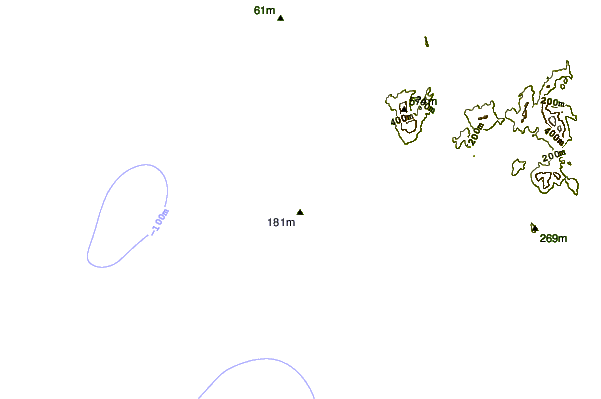
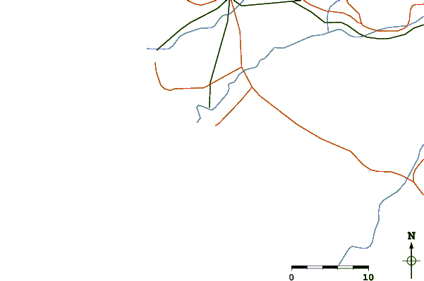
| Contours: | Roads & Rivers: | Select a
tide station / surf break / city |
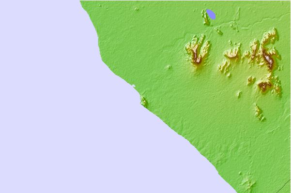
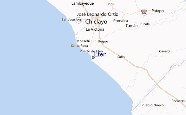
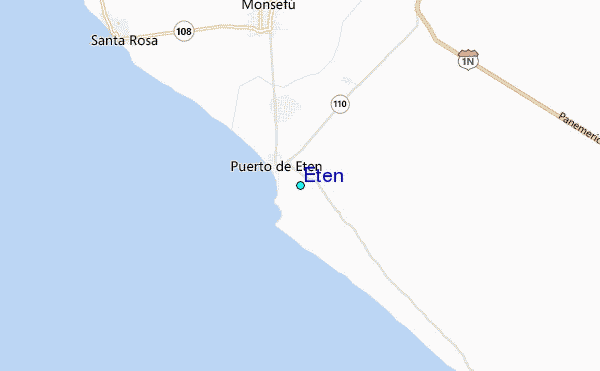
Use this relief map to navigate to tide stations, surf breaks and cities that are in the area of Eten.
Other Nearby Locations' tide tables and tide charts to Eten:
click location name for more details
 Surf breaks close to Eten:
|
||
|---|---|---|
| Closest surf break | La Farola | 1 mi |
| Second closest surf break | Pimentel | 8 mi |
| Third closest surf break | Cherrepe | 20 mi |
| Fourth closest surf break | Boca del Rio | 33 mi |
| Fifth closest surf break | Pacasmayo | 38 mi |

 Nearest
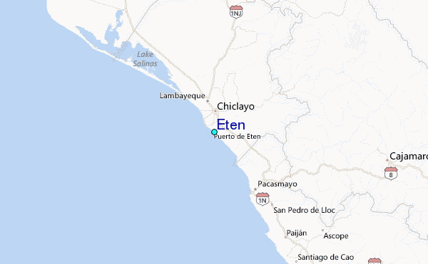