
| Distance / Altitude | Location | Report Date / Time | Live Weather | Wind | Gusts | Temp. | Visibility | Cloud |
|---|---|---|---|---|---|---|---|---|
| 103 km ESE / 31 m | ShemyaAfb (United States) | 2024-04-24 09:00 local (2024/04/24 18:00 GMT) | - | strong winds from the WNW (50 km/h at 300) | 1°C | 32 km | mostly cloudy | |
| 104 km ESE / 218 m | Eareckson/Shemya Airport (Alaska) | 2024-04-24 08:55 local (2024/04/24 17:55 GMT) | Dry and partly cloudy | strong winds from the WNW (50 km/h at 300) | 1°C | 13 | scattered broken | |
| 289 km NE / - m | SHIP5760 (ocean) | 2024-04-24 08:00 local (2024/04/24 17:00 GMT) | - | strong winds from the NW (47 km/h at 320) | 2°C | - | no observation | |
| 290 km NE / - m | SHIP8157 (ocean) | 2024-04-24 09:00 local (2024/04/24 18:00 GMT) | - | strong winds from the NW (50 km/h at 320) | 1°C | - | no observation | |
| 290 km NE / - m | SHIP11244 (ocean) | 2024-04-24 10:00 local (2024/04/24 19:00 GMT) | - | strong winds from the NW (47 km/h at 320) | 1°C | - | no observation |
| Contours: | Roads & Rivers: | Select a
tide station / surf break / city |
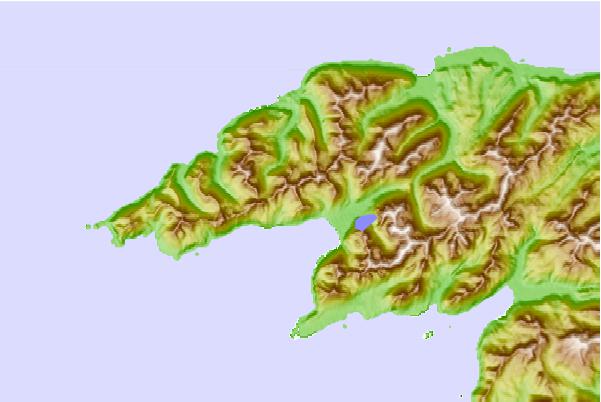
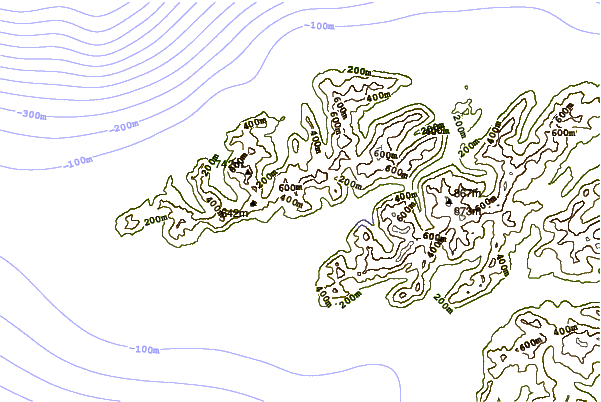
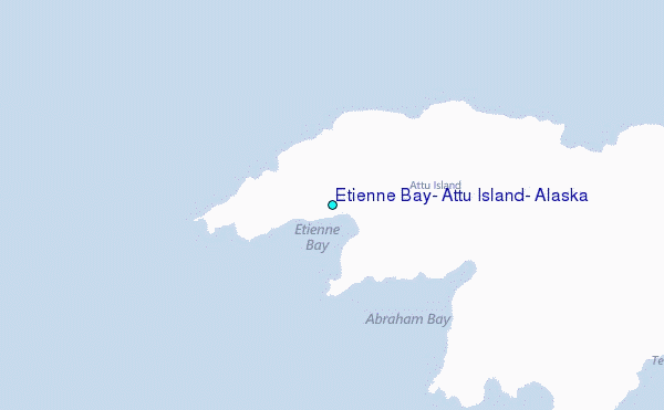
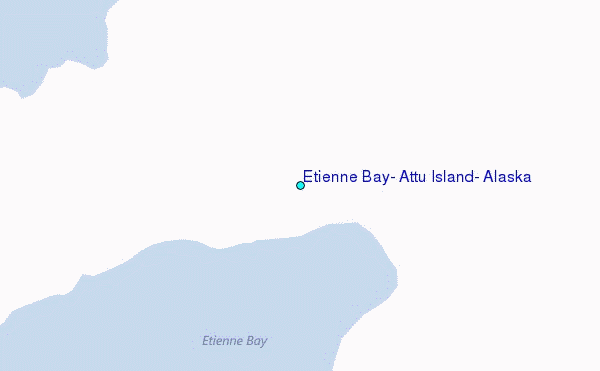
Use this relief map to navigate to tide stations, surf breaks and cities that are in the area of Etienne Bay, Attu Island, Alaska.
Other Nearby Locations' tide tables and tide charts to Etienne Bay, Attu Island, Alaska:
click location name for more details
 Surf breaks close to Etienne Bay, Attu Island, Alaska:
|
||
|---|---|---|
| Closest surf break | Khalaktyrsky Beach | 572 mi |
| Second closest surf break | Monashka Bay | 1397 mi |
| Third closest surf break | Termination Point | 1398 mi |
| Fourth closest surf break | Mill Bay | 1400 mi |
| Fifth closest surf break | Fossil Beach Kodiak | 1401 mi |

 Nearest
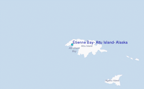