
| Distance / Altitude | Location | Report Date / Time | Live Weather | Wind | Gusts | Temp. | Visibility | Cloud |
|---|---|---|---|---|---|---|---|---|
| 5 km SW / 215 m | Tahiti Island-Faa'a International Airport (Samoa/polynesia) | 2026-06-08 18:30 local (2026/06/09 04:30 GMT) | no report | light winds from the ENE.(Wind varies from 030 to 090 degs) (13 km/h at 70) | — | 0.0 | - - - | |
| 262 km W / 3 m | Bora-bora/motu-m (Samoa/polynesia) | 2026-06-08 18:30 local (2026/06/09 04:30 GMT) | - | moderate winds from the E (22 km/h at 100) | 26°C | |||
| 262 km W / 3 m | Bora Bora (French Polynesia) | 2026-06-08 19:00 local (2026/06/09 05:00 GMT) | - | moderate winds from the E (20 km/h at 90) | 26°C | - | - no observation - | |
| 649 km S / 6 m | TubuaiAero (French Polynesia) | 2026-06-08 19:00 local (2026/06/09 05:00 GMT) | - | moderate winds from the NE (22 km/h at 40) | 24°C | - | no observation | |
| 869 km SW / 25 m | Mauke Automatic Weather Station (Cook Islands) | 2026-06-08 19:00 local (2026/06/09 05:00 GMT) | no report | wind obs. (6 kph from 70 degs) was rejected (- km/h at -) | 22°C | - | - | |
| 918 km E / 3 m | Hao/tuamoto (mil (Samoa/polynesia) | 2026-06-08 18:30 local (2026/06/09 04:30 GMT) | - | fresh winds from the ESE (31 km/h at 110) | 25°C | 10.0 | ||
| 1003 km SW / 41 m | Mangaia Automatic Weather Station (Cook Islands) | 2026-06-08 19:00 local (2026/06/09 05:00 GMT) | no report | wind obs. (6 kph from 70 degs) was rejected (- km/h at -) | 18°C | - | - | |
| 1087 km WSW / 5 m | Aitutaki Automatic Weather Station (Cook Islands) | 2026-06-08 19:00 local (2026/06/09 05:00 GMT) | no report | wind obs. (17 kph from 90 degs) was rejected (- km/h at -) | 25°C | - | - - - | |
| 1120 km NW / - m | SHIP1756 (ocean) | 2026-06-08 19:00 local (2026/06/09 05:00 GMT) | No report | fresh winds from the E (33 km/h at 90) | 28°C | 20 km | no observation | |
| 1120 km NW / 15 m | SHIP5437 (Marine) | 2026-06-08 19:00 local (2026/06/09 05:00 GMT) | fresh winds from the E (33.480000000000004 km/h at 90) | 29°C | 17.7 km |
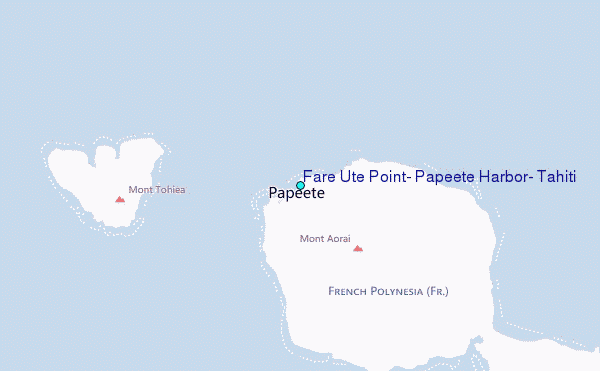
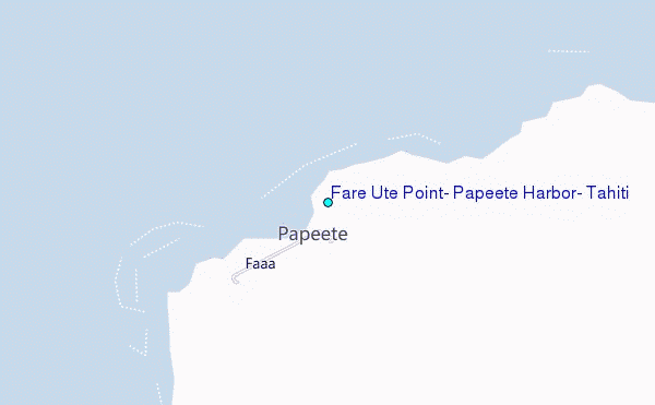
Choose Fare Ute Point, Papeete Harbor, Tahiti Location Map Zoom:
| Contours: | Roads & Rivers: | Select a
tide station / surf break / city |
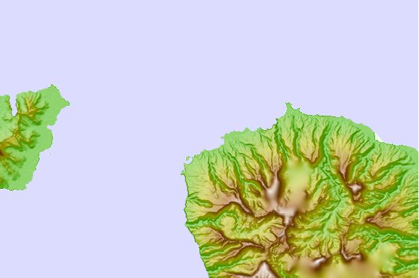
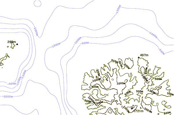
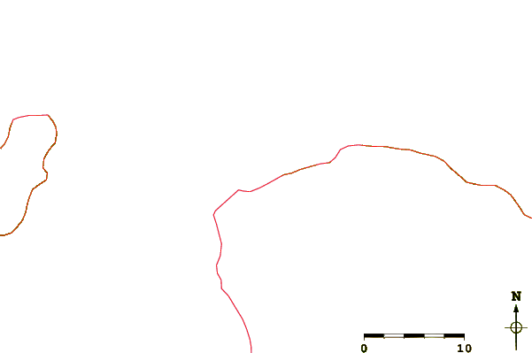
Use this relief map to navigate to tide stations, surf breaks and cities that are in the area of Fare Ute Point, Papeete Harbor, Tahiti.
Other Nearby Locations' tide tables and tide charts to Fare Ute Point, Papeete Harbor, Tahiti:
click location name for more details
 Surf breaks close to Fare Ute Point, Papeete Harbor, Tahiti:
|
||
|---|---|---|
| Closest surf break | Papeete Harbour | 2 mi |
| Second closest surf break | Pirae | 2 mi |
| Third closest surf break | Taapuna | 4 mi |
| Fourth closest surf break | Arue Beach | 5 mi |
| Fifth closest surf break | Mahoti Reef | 6 mi |


 Nearest
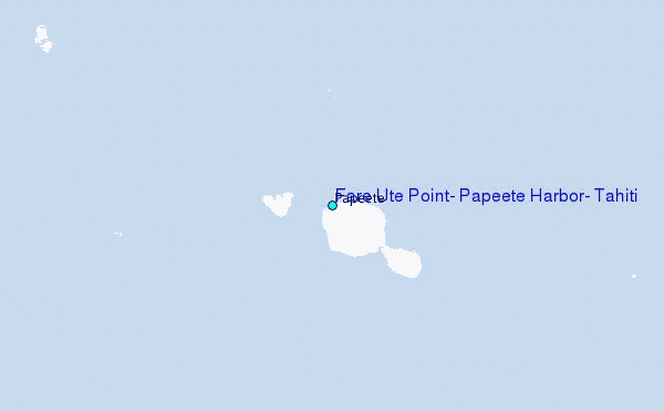