
| Distance / Altitude | Location | Report Date / Time | Live Weather | Wind | Gusts | Temp. | Visibility | Cloud |
|---|---|---|---|---|---|---|---|---|
| 73 km S / 15 m | SHIP6438 (Marine) | 2026-06-08 21:00 local (2026/06/09 05:00 GMT) | calm (1.8 km/h at 50) | — | - km | |||
| 74 km S / 3 m | BUOY-WCXA2 (Marine) | 2026-06-08 22:32 local (2026/06/09 06:32 GMT) | light winds from the NE (9 km/h at 50) | 10°C | - | |||
| 74 km SSW / 3 m | BUOY-GIXA2 (Marine) | 2026-06-08 22:32 local (2026/06/09 06:32 GMT) | calm (2 km/h at 50) | 11°C | - | |||
| 77 km S / 3 m | BUOY-KEXA2 (Marine) | 2026-06-08 22:32 local (2026/06/09 06:32 GMT) | - (0 km/h at -) | — | - | |||
| 73 km S / 3 m | SHIP3815 (Marine) | 2026-06-08 21:00 local (2026/06/09 05:00 GMT) | calm (2 km/h at 50) | 11°C | - | |||
| 73 km S / 15 m | SHIP11169 (Marine) | 2026-06-08 21:00 local (2026/06/09 05:00 GMT) | calm (1.8 km/h at 50) | — | - km | |||
| 73 km S / 15 m | SHIP7010 (Marine) | 2026-06-08 20:00 local (2026/06/09 04:00 GMT) | calm (3.6 km/h at 40) | — | - km | |||
| 73 km S / 3 m | SHIP10207 (Marine) | 2026-06-08 22:00 local (2026/06/09 06:00 GMT) | calm (5 km/h at 40) | 10°C | - | |||
| 73 km S / 3 m | SHIP9656 (Marine) | 2026-06-08 21:00 local (2026/06/09 05:00 GMT) | calm (2 km/h at 50) | 11°C | - | |||
| 73 km S / 15 m | SHIP11490 (Marine) | 2026-06-08 20:00 local (2026/06/09 04:00 GMT) | calm (3.6 km/h at 40) | — | - km |
| Contours: | Roads & Rivers: | Select a
tide station / surf break / city |
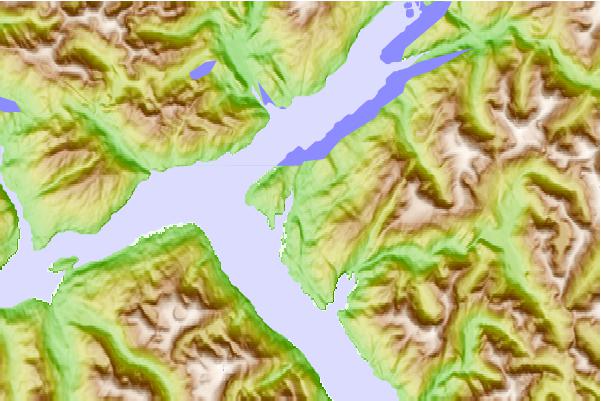
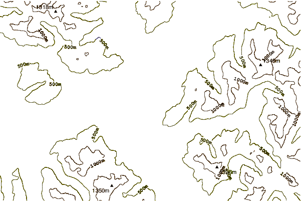
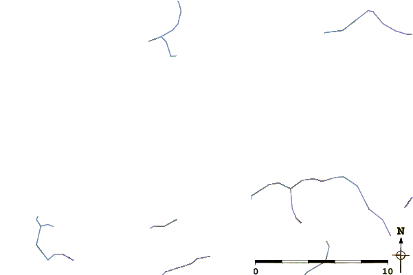
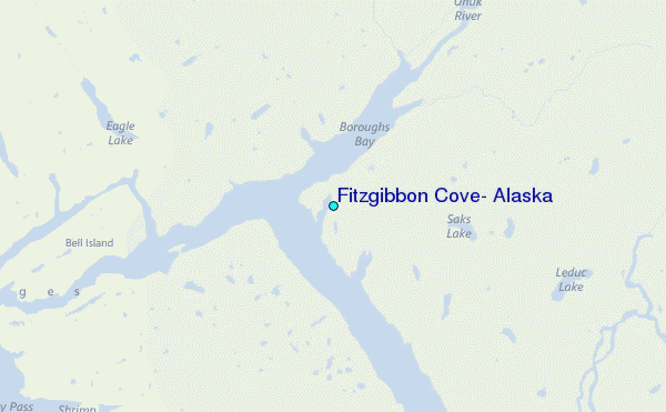
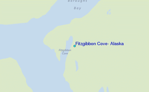
Use this relief map to navigate to tide stations, surf breaks and cities that are in the area of Fitzgibbon Cove, Alaska.
Other Nearby Locations' tide tables and tide charts to Fitzgibbon Cove, Alaska:
click location name for more details
 Surf breaks close to Fitzgibbon Cove, Alaska:
|
||
|---|---|---|
| Closest surf break | Tow Hill Beach | 134 mi |
| Second closest surf break | Lepus Beach (Haida-Gwaii) | 145 mi |
| Third closest surf break | Cannon Beach | 399 mi |
| Fourth closest surf break | Graveyards | 402 mi |
| Fifth closest surf break | Ocean Cape | 403 mi |


 Nearest
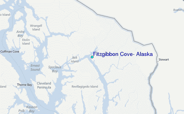