
| Distance / Altitude | Location | Report Date / Time | Live Weather | Wind | Gusts | Temp. | Visibility | Cloud |
|---|---|---|---|---|---|---|---|---|
| 18 km SW / 8 m | Point Thompson Airstrip-Deadhorse (Alaska) (Alaska) | 2024-04-16 12:35 local (2024/04/16 20:35 GMT) | Clear | calm (0 km/h at 0) | -6°C | 16 | ||
| 84 km E / 192 m | Barter Island Airport (Alaska) | 2024-04-16 11:52 local (2024/04/16 19:52 GMT) | Clear | light winds from the E (7 km/h at 90) | -4°C | 16 | ||
| 98 km WSW / 3 m | BUOY-DHXA2 (Marine) | 2024-04-16 13:04 local (2024/04/16 21:04 GMT) | fresh winds from the SSW (37 km/h at 210) | 1°C | - | |||
| 100 km WSW / 215 m | Deadhorse Airport (Alaska) | 2024-04-16 11:53 local (2024/04/16 19:53 GMT) | - | fresh winds from the SSW (33 km/h at 200) | -1°C | 16 | few few scattered | |
| 104 km W / 3 m | BUOY-PRDA2 (Marine) | 2024-04-16 12:48 local (2024/04/16 20:48 GMT) | strong winds from the SSW (45 km/h at 210) | 0°C | - |
| Contours: | Roads & Rivers: | Select a
tide station / surf break / city |
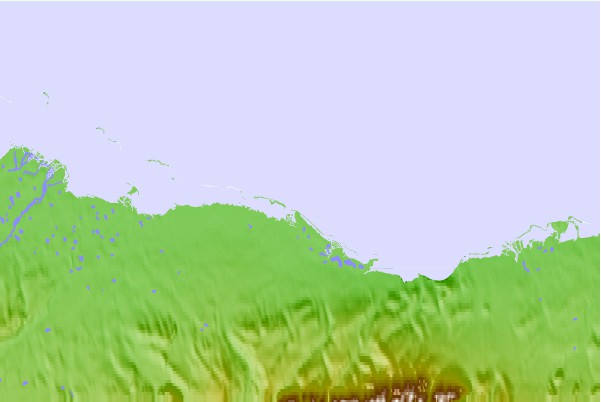
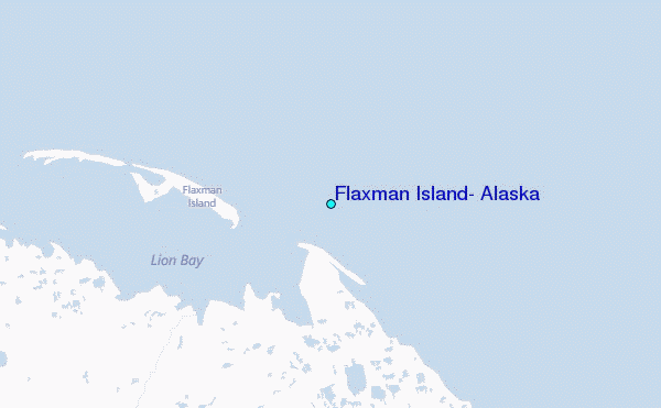
Use this relief map to navigate to tide stations, surf breaks and cities that are in the area of Flaxman Island, Alaska.
Other Nearby Locations' tide tables and tide charts to Flaxman Island, Alaska:
click location name for more details
 Surf breaks close to Flaxman Island, Alaska:
|
||
|---|---|---|
| Closest surf break | Bird Point (Tidal Bore) | 673 mi |
| Second closest surf break | Graveyards | 755 mi |
| Third closest surf break | Ocean Cape | 755 mi |
| Fourth closest surf break | Cannon Beach | 759 mi |
| Fifth closest surf break | Termination Point | 874 mi |

 Nearest
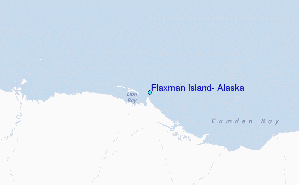