
| Distance / Altitude | Location | Report Date / Time | Live Weather | Wind | Gusts | Temp. | Visibility | Cloud |
|---|---|---|---|---|---|---|---|---|
| 38 km WSW / 207 m | Twillingate Airport (Newfoundland) | 2024-04-19 16:30 local (2024/04/19 19:00 GMT) | - | gales from the NNE (69 km/h at 20) | -1°C | 0.0 | ||
| 39 km WSW / 92 m | Twillingate(Aut)-Nfld (Canada) | 2024-04-19 15:30 local (2024/04/19 18:00 GMT) | - | fresh winds from the N (33 km/h at 10) | 0°C | - | no observation | |
| 85 km SE / 19 m | PoolsIsland-Nfld (Canada) | 2024-04-19 15:30 local (2024/04/19 18:00 GMT) | - | strong winds from the N (43 km/h at 10) | 2°C | - | no observation | |
| 89 km S / 151 m | GanderIntl A- Nfld (Canada) | 2024-04-19 15:30 local (2024/04/19 18:00 GMT) | No report | moderate winds from the N (22 km/h at 10) | 0°C | 44 km | - no observation - | |
| 101 km SSW / 3 m | SHIP743 (Marine) | 2024-04-19 15:30 local (2024/04/19 18:00 GMT) | - (0 km/h at -) | 2°C | - |
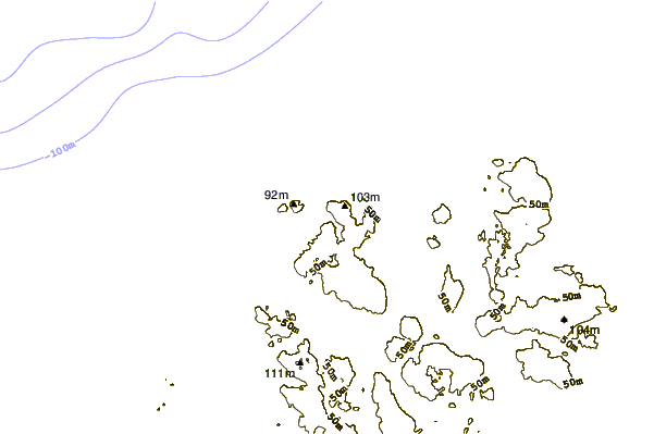
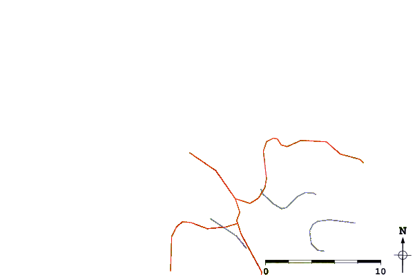
| Contours: | Roads & Rivers: | Select a
tide station / surf break / city |
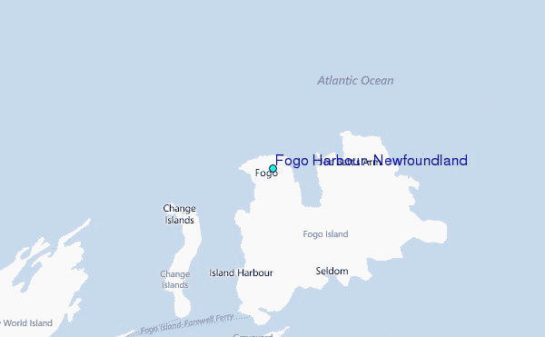
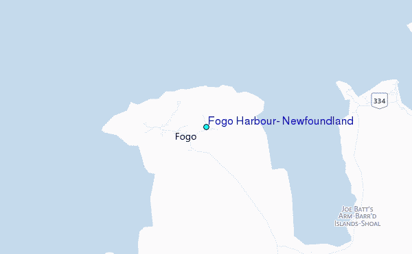
Use this relief map to navigate to tide stations, surf breaks and cities that are in the area of Fogo Harbour, Newfoundland.
Other Nearby Locations' tide tables and tide charts to Fogo Harbour, Newfoundland:
click location name for more details
 Surf breaks close to Fogo Harbour, Newfoundland:
|
||
|---|---|---|
| Closest surf break | Ingonish Beach | 353 mi |
| Second closest surf break | Kennington Cove | 378 mi |
| Third closest surf break | Michaud Point | 414 mi |
| Fourth closest surf break | Martinique | 543 mi |
| Fifth closest surf break | Lawrencetown Left Point | 551 mi |

 Nearest
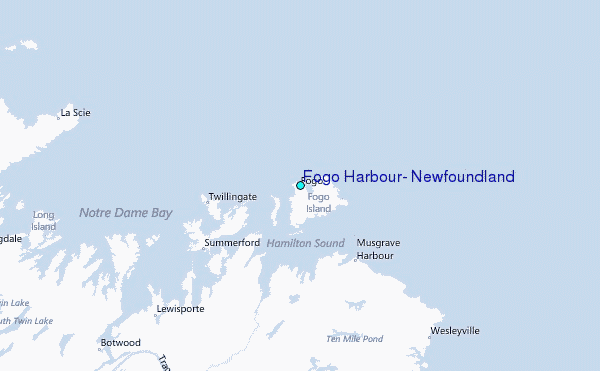