
| Distance / Altitude | Location | Report Date / Time | Live Weather | Wind | Gusts | Temp. | Visibility | Cloud |
|---|---|---|---|---|---|---|---|---|
| 129 km ESE / 6 m | Paulatuk- Nwt (Canada) | 2026-06-08 20:00 local (2026/06/09 03:00 GMT) | no report | wind obs. (11 kph from 260 degs) was rejected (- km/h at -) | 4°C | - | - | |
| 196 km ESE / 552 m | Tuktut Nogait- Nwt (Canada) | 2026-06-08 20:00 local (2026/06/09 03:00 GMT) | no report | wind obs. (11 kph from 260 degs) was rejected (- km/h at -) | -1°C | - | - - - | |
| 197 km ESE / 616 m | Tuktut Nogait Airport (N.w. Territories) | 2026-06-08 19:00 local (2026/06/09 02:00 GMT) | - | light winds from the S (17 km/h at 170) | 7°C | 0.0 | ||
| 236 km NNE / 88 m | Sachs Harbour Climate- Nwt (Canada) | 2026-06-08 20:00 local (2026/06/09 03:00 GMT) | no report | - (- km/h at -) | 0°C | - | - | |
| 243 km WSW / 6 m | Tuktoyaktuk-Nwt (Canada) | 2026-06-08 20:00 local (2026/06/09 03:00 GMT) | no report | light winds from the NNE (7 km/h at 20) | 1°C | - | - no observation - | |
| 243 km WSW / 155 m | Tuktoyaktuk Airport (N.w. Territories) | 2026-06-08 19:00 local (2026/06/09 02:00 GMT) | Shower - in the vicinity | light winds from the NNE (17 km/h at 20) | 1°C | 24 | broken overcast | |
| 270 km N / 15 m | ASCATC232E72N (Marine) | 2026-06-08 18:26 local (2026/06/09 01:26 GMT) | light winds from the NE (15 km/h at 38) | — | - km | |||
| 292 km SW / 85 m | Trail Valley (Canada) | 2026-06-08 20:00 local (2026/06/09 03:00 GMT) | no report | calm (4 km/h at 340) | 3°C | - | - - - | |
| 292 km SW / 197 m | Trail Valley Airport (N.w. Territories) | 2026-06-08 19:00 local (2026/06/09 02:00 GMT) | - | light winds from the NE (17 km/h at 40) | 4°C | 0.0 | ||
| 299 km SW / 261 m | Storm Hills Airport (Canada) | 2026-06-08 20:00 local (2026/06/09 03:00 GMT) | no report | - (- km/h at -) | — | - | - - - |
| Contours: | Roads & Rivers: | Select a
tide station / surf break / city |
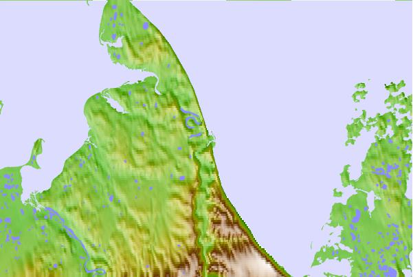
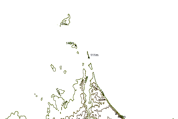
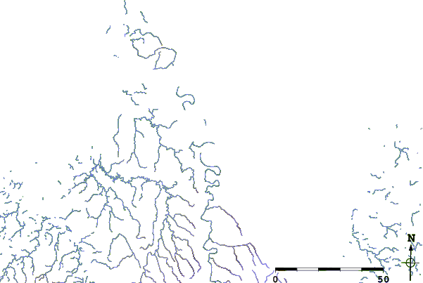
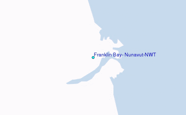
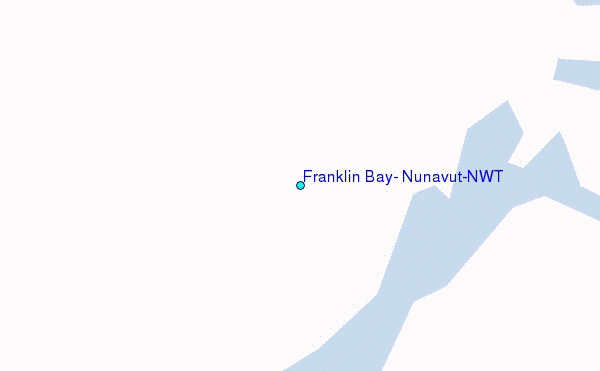
Use this relief map to navigate to tide stations, surf breaks and cities that are in the area of Franklin Bay, Nunavut/NWT.
Other Nearby Locations' tide tables and tide charts to Franklin Bay, Nunavut/NWT:
click location name for more details
 Surf breaks close to Franklin Bay, Nunavut/NWT:
|
||
|---|---|---|
| Closest surf break | Graveyards | 809 mi |
| Second closest surf break | Ocean Cape | 810 mi |
| Third closest surf break | Cannon Beach | 812 mi |
| Fourth closest surf break | Bird Point (Tidal Bore) | 940 mi |
| Fifth closest surf break | Lepus Beach (Haida-Gwaii) | 1108 mi |


 Nearest
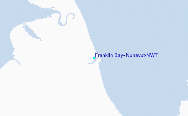