
| Distance / Altitude | Location | Report Date / Time | Live Weather | Wind | Gusts | Temp. | Visibility | Cloud |
|---|---|---|---|---|---|---|---|---|
| 5 km N / 3 m | BUOY-MVXA2 (Marine) | 2024-04-18 21:32 local (2024/04/19 05:32 GMT) | calm (4 km/h at 100) | 7°C | - | |||
| 6 km N / 7 m | Juneau (United States) | 2024-04-18 19:00 local (2024/04/19 03:00 GMT) | - | light winds from the W (9 km/h at 260) | 12°C | 36 km | clear | |
| 6 km N / 214 m | Juneau Airport (Alaska) | 2024-04-18 19:53 local (2024/04/19 03:53 GMT) | Clear | calm (0 km/h at 0) | 10°C | 16 | ||
| 8 km SE / 772 m | Eaglecrest Ptarmigan Top CW (United States of America) | 2024-04-18 21:10 local (2024/04/19 05:10 GMT) | dry | - (- km/h at ) | 5°C | - | - - 0 | |
| 8 km NW / 3 m | BUOY-ABYA2 (Marine) | 2024-04-18 20:52 local (2024/04/19 04:52 GMT) | - (0 km/h at -) | 10°C | - |

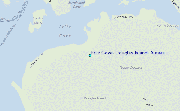
Choose Fritz Cove, Douglas Island, Alaska Location Map Zoom:
| Contours: | Roads & Rivers: | Select a
tide station / surf break / city |
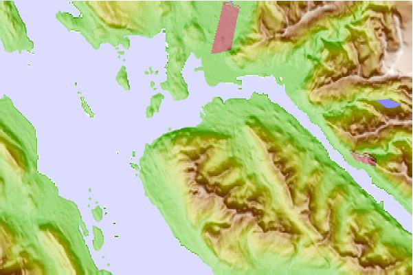
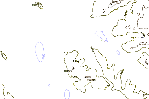
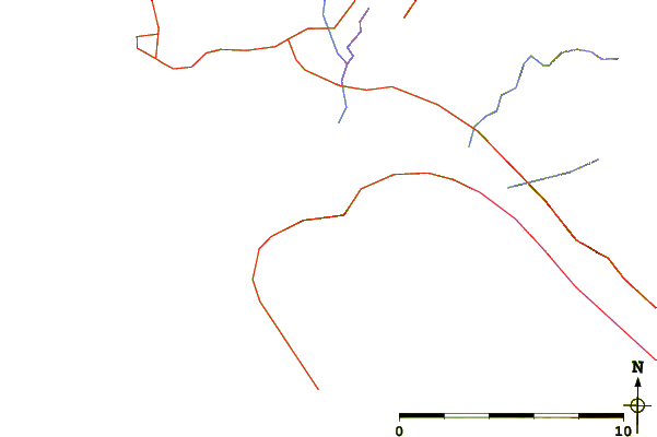
Use this relief map to navigate to tide stations, surf breaks and cities that are in the area of Fritz Cove, Douglas Island, Alaska.
Other Nearby Locations' tide tables and tide charts to Fritz Cove, Douglas Island, Alaska:
click location name for more details
 Surf breaks close to Fritz Cove, Douglas Island, Alaska:
|
||
|---|---|---|
| Closest surf break | Cannon Beach | 202 mi |
| Second closest surf break | Graveyards | 204 mi |
| Third closest surf break | Ocean Cape | 206 mi |
| Fourth closest surf break | Lepus Beach (Haida-Gwaii) | 293 mi |
| Fifth closest surf break | Tow Hill Beach | 312 mi |

 Nearest