
| Distance / Altitude | Location | Report Date / Time | Live Weather | Wind | Gusts | Temp. | Visibility | Cloud |
|---|---|---|---|---|---|---|---|---|
| 72 km SSW / 3 m | SHIP9351 (Marine) | 2024-04-19 10:00 local (2024/04/19 14:00 GMT) | - (- km/h at -) | 25°C | - | |||
| 94 km ESE / 3 m | BUOY-42095 (Marine) | 2024-04-19 09:30 local (2024/04/19 13:30 GMT) | - (- km/h at -) | 26°C | - | |||
| 102 km E / 3 m | BUOY-SANF1 (Marine) | 2024-04-19 09:50 local (2024/04/19 13:50 GMT) | moderate winds from the E (21 km/h at 80) | 25°C | - | |||
| 108 km E / 3 m | BUOY-KYWF1 (Marine) | 2024-04-19 09:48 local (2024/04/19 13:48 GMT) | light winds from the E (13 km/h at 100) | 28°C | - | |||
| 82 km SW / 15 m | SHIP6041 (Marine) | 2024-04-19 09:00 local (2024/04/19 13:00 GMT) | - (- km/h at -) | — | - km |
| Contours: | Roads & Rivers: | Select a
tide station / surf break / city |

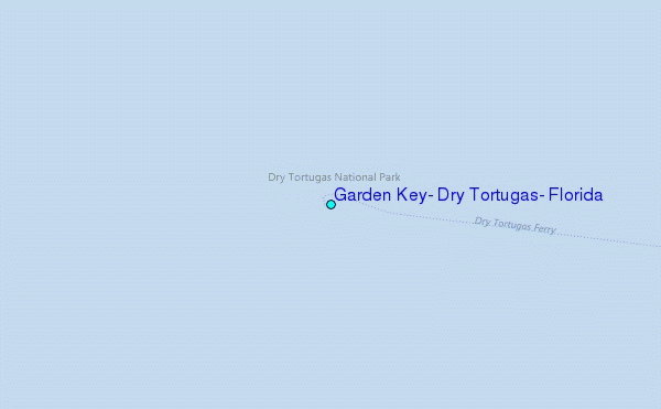
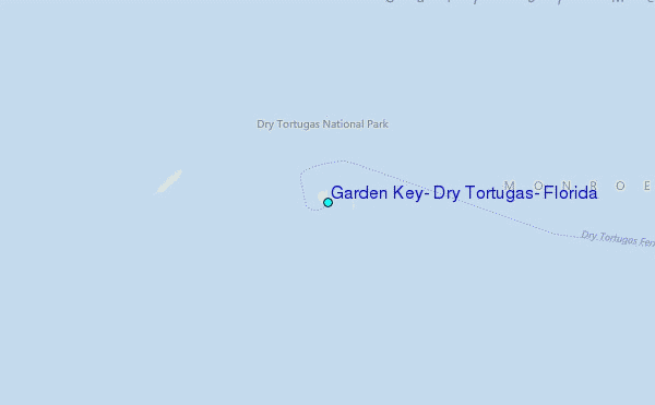
Use this relief map to navigate to tide stations, surf breaks and cities that are in the area of Garden Key, Dry Tortugas, Florida.
Other Nearby Locations' tide tables and tide charts to Garden Key, Dry Tortugas, Florida:
click location name for more details
 Surf breaks close to Garden Key, Dry Tortugas, Florida:
|
||
|---|---|---|
| Closest surf break | Naples Pier | 121 mi |
| Second closest surf break | Wiggins Pass | 132 mi |
| Third closest surf break | Venice North and South Jetty | 170 mi |
| Fourth closest surf break | Point o Rocks | 182 mi |
| Fifth closest surf break | Fifth Street (Miami) | 189 mi |

 Nearest
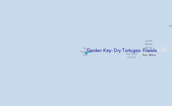