
| Distance / Altitude | Location | Report Date / Time | Live Weather | Wind | Gusts | Temp. | Visibility | Cloud |
|---|---|---|---|---|---|---|---|---|
| 149 km E / 506 m | Adak Naval Air Station Airport (Alaska) | 2024-04-23 22:56 local (2024/04/24 07:56 GMT) | Dry and partly cloudy | moderate winds from the WSW (26 km/h at 250) | 3°C | 16 | few broken | |
| 149 km E / 3 m | BUOY-ADKA2 (Marine) | 2024-04-23 23:48 local (2024/04/24 08:48 GMT) | fresh winds from the W (30 km/h at 260) | 3°C | - | |||
| 321 km ENE / 3 m | BUOY-ATKA2 (Marine) | 2024-04-23 23:48 local (2024/04/24 08:48 GMT) | moderate winds from the WSW (21 km/h at 240) | 4°C | - | |||
| 429 km NW / 15 m | SHIP4977 (Marine) | 2024-04-23 22:00 local (2024/04/24 07:00 GMT) | severe gales from the WNW (79.56 km/h at 290) | 3°C | 8.1 km | |||
| 461 km E / 3 m | Central Aleutians Buoy (Marine) | 2024-04-23 23:50 local (2024/04/24 08:50 GMT) | strong winds from the SW (43 km/h at 220) | — | - |
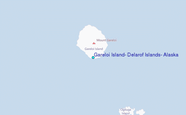
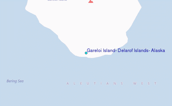
Choose Gareloi Island, Delarof Islands, Alaska Location Map Zoom:
| Contours: | Roads & Rivers: | Select a
tide station / surf break / city |

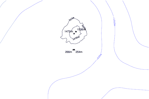
Use this relief map to navigate to tide stations, surf breaks and cities that are in the area of Gareloi Island, Delarof Islands, Alaska.
Other Nearby Locations' tide tables and tide charts to Gareloi Island, Delarof Islands, Alaska:
click location name for more details
 Surf breaks close to Gareloi Island, Delarof Islands, Alaska:
|
||
|---|---|---|
| Closest surf break | Khalaktyrsky Beach | 943 mi |
| Second closest surf break | Fossil Beach Kodiak | 1121 mi |
| Third closest surf break | Monashka Bay | 1123 mi |
| Fourth closest surf break | Termination Point | 1124 mi |
| Fifth closest surf break | Mill Bay | 1126 mi |

 Nearest
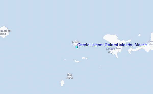