
| Distance / Altitude | Location | Report Date / Time | Live Weather | Wind | Gusts | Temp. | Visibility | Cloud |
|---|---|---|---|---|---|---|---|---|
| 10 km S / 4 m | Penang/Bayan Lepas Airport (Malaysia) | 2024-04-26 06:00 local (2024/04/25 22:00 GMT) | Thunderstorm but no precipitation falling at station | calm (4 km/h at 280) | 27°C | 27 km | - mostly cloudy - | |
| 12 km S / 218 m | Penang International Airport/Bayan Lepas (Malaysia) | 2024-04-26 05:30 local (2024/04/25 21:30 GMT) | Thunderstorm - | light winds from the N (6 km/h at 1) | 28°C | 7.0 | few few | |
| 12 km NE / 217 m | Butterworth Airport (Malaysia) | 2024-04-26 05:00 local (2024/04/25 21:00 GMT) | - | light winds from the N (6 km/h at 1) | 28°C | 6.0 | few | |
| 31 km WNW / 15 m | SHIP4874 (Marine) | 2024-04-26 05:00 local (2024/04/25 21:00 GMT) | - (- km/h at -) | — | - km | |||
| 91 km N / 5 m | Sultan Abdul Halim Airport (Malaysia) | 2024-04-26 05:00 local (2024/04/25 21:00 GMT) | Haze | light winds from the N (6 km/h at 1) | 26°C | 10.0 | few mostly cloudy - |
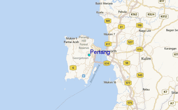
| Contours: | Roads & Rivers: | Select a
tide station / surf break / city |
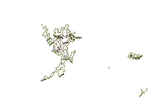
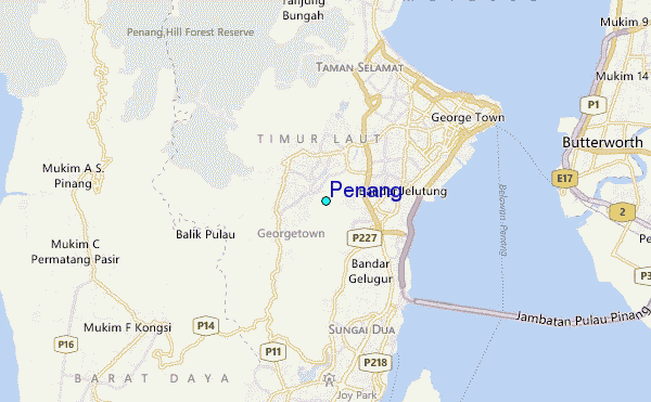
Use this relief map to navigate to tide stations, surf breaks and cities that are in the area of Penang.
Other Nearby Locations' tide tables and tide charts to Penang:
click location name for more details
 Surf breaks close to Penang:
|
||
|---|---|---|
| Closest surf break | Tengah Beach (Bank Negara) | 73 mi |
| Second closest surf break | Cenang Beach (The Cliff) | 73 mi |
| Third closest surf break | Songkhla - Fulerayem Point | 128 mi |
| Fourth closest surf break | Koh Lanta - Khlong Dao | 178 mi |
| Fifth closest surf break | Batu Buruk | 197 mi |

 Nearest
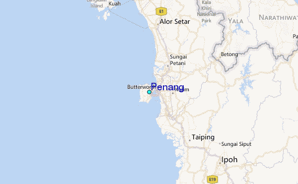