
| Distance / Altitude | Location | Report Date / Time | Live Weather | Wind | Gusts | Temp. | Visibility | Cloud |
|---|---|---|---|---|---|---|---|---|
| 14 km SE / 3 m | BUOY-JCRN4 (Marine) | 2024-04-24 20:30 local (2024/04/25 00:30 GMT) | light winds from the SW (8 km/h at 230) | 19°C | - | |||
| 16 km S / 217 m | Atlantic City Airport (New Jersey) | 2024-04-24 19:54 local (2024/04/24 23:54 GMT) | Clear | light winds from the W (11 km/h at 270) | 19°C | 16 | ||
| 32 km SSE / 3 m | BUOY-ACYN4 (Marine) | 2024-04-24 20:30 local (2024/04/25 00:30 GMT) | - (- km/h at -) | 18°C | - | |||
| 41 km NW / 218 m | Mount Holly Airport (New Jersey) | 2024-04-24 19:54 local (2024/04/24 23:54 GMT) | Dry and cloudy | light winds from the NW (7 km/h at 320) | 19°C | 16 | overcast | |
| 45 km N / 218 m | Wrightst/Mcguire Airport (New Jersey) | 2024-04-24 19:55 local (2024/04/24 23:55 GMT) | Dry and cloudy | light winds from the NW (13 km/h at 310) | 19°C | 16 | few overcast |
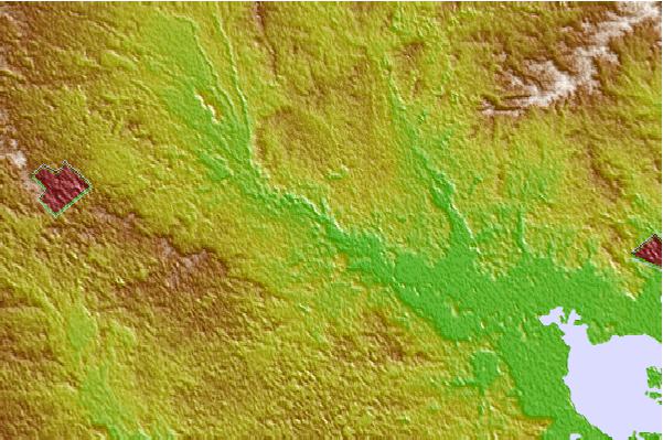
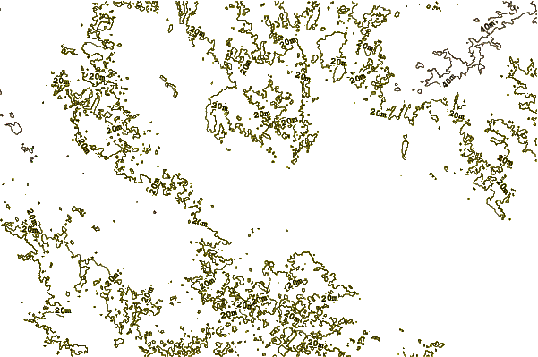
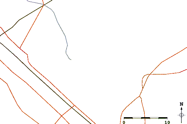
| Contours: | Roads & Rivers: | Select a
tide station / surf break / city |
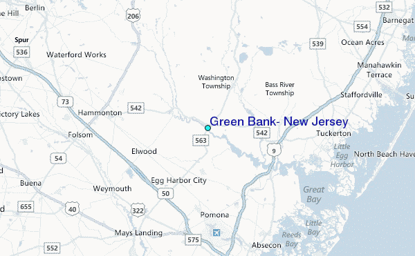
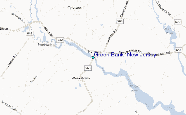
Use this relief map to navigate to tide stations, surf breaks and cities that are in the area of Green Bank, New Jersey.
Other Nearby Locations' tide tables and tide charts to Green Bank, New Jersey:
click location name for more details
 Surf breaks close to Green Bank, New Jersey:
|
||
|---|---|---|
| Closest surf break | Wooden Jetties | 18 mi |
| Second closest surf break | Castles | 19 mi |
| Third closest surf break | Hollyoake | 19 mi |
| Fourth closest surf break | Kirbys Point | 19 mi |
| Fifth closest surf break | The Castle | 19 mi |

 Nearest
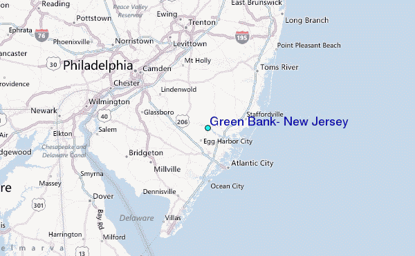