
| Distance / Altitude | Location | Report Date / Time | Live Weather | Wind | Gusts | Temp. | Visibility | Cloud |
|---|---|---|---|---|---|---|---|---|
| 110 km SE / 3 m | SHIP494 (Marine) | 2024-04-19 09:30 local (2024/04/19 12:00 GMT) | - (- km/h at -) | — | - | |||
| 114 km SE / 7 m | Saint-Pierre (Saint Pierre and Miquelon) | 2024-04-19 11:30 local (2024/04/19 14:00 GMT) | Clear skies | strong winds from the NNE (41 km/h at 20) | 4°C | 36 km | overcast | |
| 152 km ESE / 1 m | Marystown wx (Canada) | 2024-04-19 10:30 local (2024/04/19 13:00 GMT) | - | light winds from the NE (14 km/h at 44) | 4°C | - | - - 0 | |
| 155 km WNW / 22 m | Kippens (Canada) | 2024-04-19 11:38 local (2024/04/19 14:08 GMT) | dry | calm (0 km/h at 63) | 9°C | - | - - 0 | |
| 187 km NE / 52 m | Grand Falls wx (Canada) | 2024-04-19 11:13 local (2024/04/19 13:43 GMT) | - | light winds from the ENE (8 km/h at 63) | 0°C | - | - - 0 |

| Contours: | Roads & Rivers: | Select a
tide station / surf break / city |
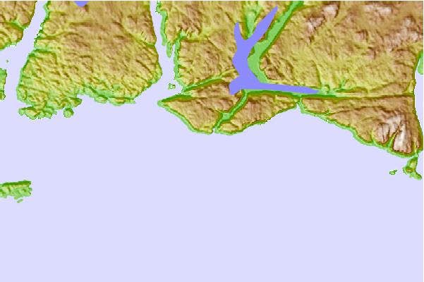
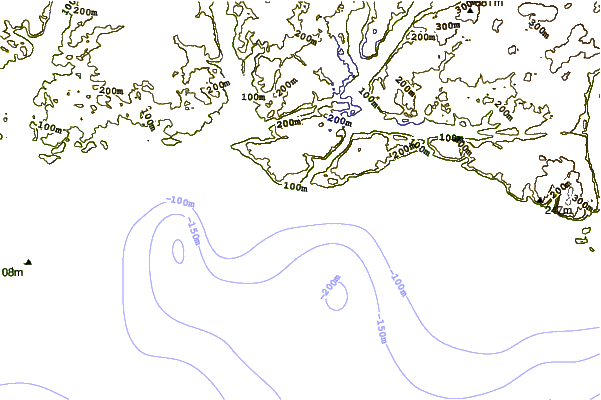
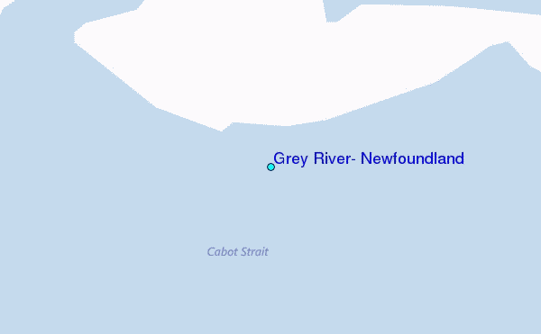
Use this relief map to navigate to tide stations, surf breaks and cities that are in the area of Grey River, Newfoundland.
Other Nearby Locations' tide tables and tide charts to Grey River, Newfoundland:
click location name for more details
 Surf breaks close to Grey River, Newfoundland:
|
||
|---|---|---|
| Closest surf break | Ingonish Beach | 167 mi |
| Second closest surf break | Kennington Cove | 182 mi |
| Third closest surf break | Michaud Point | 219 mi |
| Fourth closest surf break | Martinique | 351 mi |
| Fifth closest surf break | Lawrencetown Left Point | 360 mi |

 Nearest
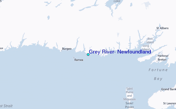