
| Distance / Altitude | Location | Report Date / Time | Live Weather | Wind | Gusts | Temp. | Visibility | Cloud |
|---|---|---|---|---|---|---|---|---|
| 21 km NE / 113 m | Resolute (Cap15) (Canada) | 2024-04-19 19:00 local (2024/04/19 23:00 GMT) | no report | near gales from the NW (54 km/h at 310) | -26°C | - | - | |
| 21 km NE / 139 m | Resolute (Canada) | 2024-04-19 17:00 local (2024/04/19 21:00 GMT) | - | near gales from the NW (56 km/h at 320) | -26°C | - | no observation | |
| 21 km NE / 113 m | Resolute Ua- NU (Canada) | 2024-04-19 19:00 local (2024/04/19 23:00 GMT) | no report | - (- km/h at -) | -27°C | - | - | |
| 21 km NE / 30 m | Resolute (Canada) | 2024-04-19 17:00 local (2024/04/19 21:00 GMT) | no report | strong winds from the NNW (50 km/h at 330) | -26°C | - | - | |
| 21 km NE / 30 m | Resolute Cs- NU (Canada) | 2024-04-19 17:00 local (2024/04/19 21:00 GMT) | no report | strong winds from the NNW (50 km/h at 330) | -26°C | - | - |
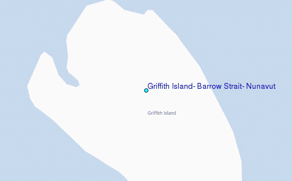
Choose Griffith Island, Barrow Strait, Nunavut Location Map Zoom:
| Contours: | Roads & Rivers: | Select a
tide station / surf break / city |
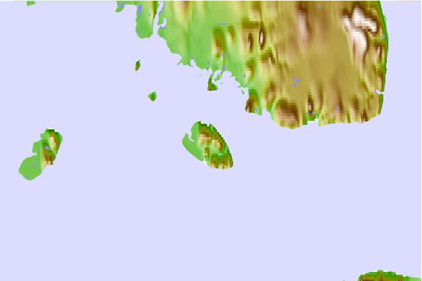
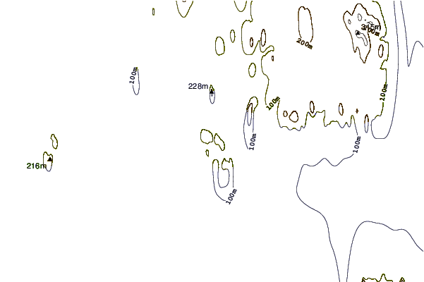
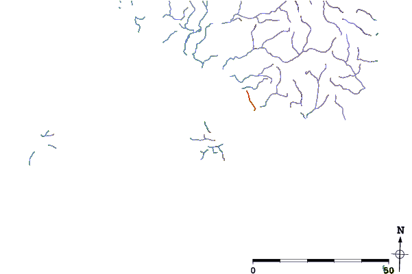
Use this relief map to navigate to tide stations, surf breaks and cities that are in the area of Griffith Island, Barrow Strait, Nunavut.
Other Nearby Locations' tide tables and tide charts to Griffith Island, Barrow Strait, Nunavut:
click location name for more details
 Surf breaks close to Griffith Island, Barrow Strait, Nunavut:
|
||
|---|---|---|
| Closest surf break | Graveyards | 1521 mi |
| Second closest surf break | Ocean Cape | 1523 mi |
| Third closest surf break | Cannon Beach | 1524 mi |
| Fourth closest surf break | Bird Point (Tidal Bore) | 1664 mi |
| Fifth closest surf break | Tow Hill Beach | 1730 mi |

 Nearest
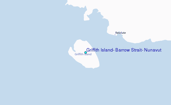