
| Distance / Altitude | Location | Report Date / Time | Live Weather | Wind | Gusts | Temp. | Visibility | Cloud |
|---|---|---|---|---|---|---|---|---|
| 4 km NNE / - m | SHIP641 (ocean) | 2026-06-09 12:00 local (2026/06/09 20:00 GMT) | - | fresh winds from the SW (30 km/h at 220) | 12°C | - | no observation | |
| 4 km NNE / - m | SHIP1436 (ocean) | 2026-06-09 12:00 local (2026/06/09 20:00 GMT) | - | fresh winds from the SW (30 km/h at 220) | 12°C | - | no observation | |
| 4 km NNE / 3 m | SHIP6433 (Marine) | 2026-06-09 12:00 local (2026/06/09 20:00 GMT) | moderate winds from the SSW (22 km/h at 200) | 13°C | - | |||
| 4 km NNE / 15 m | SHIP3380 (Marine) | 2026-06-09 12:00 local (2026/06/09 20:00 GMT) | moderate winds from the SSW (22.32 km/h at 200) | 7°C | - km | |||
| 6 km WNW / 15 m | SHIP7582 (Marine) | 2026-06-09 11:00 local (2026/06/09 19:00 GMT) | moderate winds from the W (27.720000000000002 km/h at 260) | 7°C | - km | |||
| 6 km WNW / 15 m | SHIP4480 (Marine) | 2026-06-09 11:00 local (2026/06/09 19:00 GMT) | moderate winds from the W (27.720000000000002 km/h at 260) | 7°C | - km | |||
| 6 km WNW / 15 m | SHIP4042 (Marine) | 2026-06-09 11:00 local (2026/06/09 19:00 GMT) | moderate winds from the W (27.720000000000002 km/h at 260) | 7°C | - km | |||
| 6 km WNW / 15 m | SHIP3330 (Marine) | 2026-06-09 12:00 local (2026/06/09 20:00 GMT) | fresh winds from the NW (33.480000000000004 km/h at 320) | — | - km | |||
| 6 km WNW / 3 m | SHIP9020 (Marine) | 2026-06-09 11:00 local (2026/06/09 19:00 GMT) | moderate winds from the W (28 km/h at 260) | 13°C | - | |||
| 6 km WNW / 3 m | SHIP6432 (Marine) | 2026-06-09 12:00 local (2026/06/09 20:00 GMT) | fresh winds from the NW (33 km/h at 320) | 11°C | - |
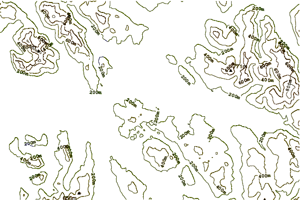
| Contours: | Roads & Rivers: | Select a
tide station / surf break / city |
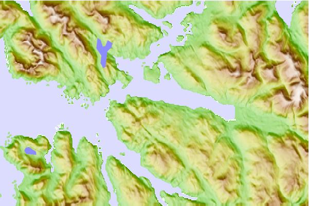
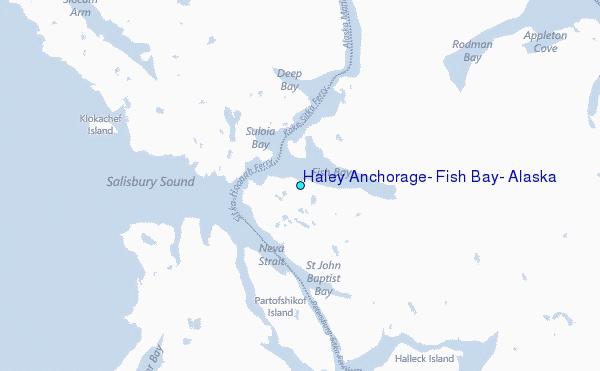
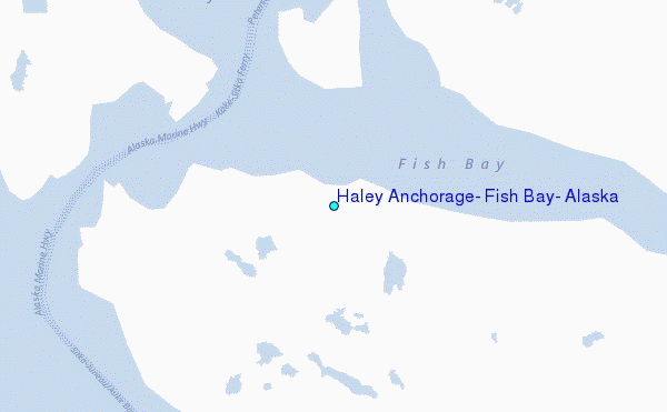
Use this relief map to navigate to tide stations, surf breaks and cities that are in the area of Haley Anchorage, Fish Bay, Alaska.
Other Nearby Locations' tide tables and tide charts to Haley Anchorage, Fish Bay, Alaska:
click location name for more details
 Surf breaks close to Haley Anchorage, Fish Bay, Alaska:
|
||
|---|---|---|
| Closest surf break | Cannon Beach | 211 mi |
| Second closest surf break | Graveyards | 214 mi |
| Third closest surf break | Ocean Cape | 215 mi |
| Fourth closest surf break | Lepus Beach (Haida-Gwaii) | 243 mi |
| Fifth closest surf break | Tow Hill Beach | 272 mi |


 Nearest