
| Distance / Altitude | Location | Report Date / Time | Live Weather | Wind | Gusts | Temp. | Visibility | Cloud |
|---|---|---|---|---|---|---|---|---|
| 2 km NW / 0 m | lightning 11km NW of Goedereede (Netherlands) | 2026-06-09 23:49 local (2026/06/09 21:49 GMT) | Thunderstorm | (- km/h at -) | — | |||
| 10 km NNE / 0 m | lightning 12km WSW of Hoek Van Holland (Netherlands) | 2026-06-09 23:49 local (2026/06/09 21:49 GMT) | Thunderstorm | (- km/h at -) | — | |||
| 16 km W / 50 m | Lichteiland Goeree Offshore Installation Airport (Netherlands) | 2026-06-09 23:00 local (2026/06/09 21:00 GMT) | no report | moderate winds from the W.(Wind varies from 250 to 310 degs) (20 km/h at 280) | 14°C | 10.0 | - - - | |
| 16 km W / 0 m | lightning 24km NNW of Renesse (Netherlands) | 2026-06-09 23:33 local (2026/06/09 21:33 GMT) | Thunderstorm | (- km/h at -) | — | |||
| 20 km SW / 0 m | Oosterschelde WP (Netherlands) | 2026-06-09 23:00 local (2026/06/09 21:00 GMT) | no report | moderate winds from the SSW (25 km/h at 210) | — | - | - | |
| 22 km NE / 6 m | BeachLine Events (Netherlands) | 2026-06-09 23:00 local (2026/06/09 21:00 GMT) | - | light winds from the WSW (13 km/h at 241) | 11°C | - | - - 0 | |
| 22 km NE / 12 m | Hoek Van Holland Aws (Netherlands) | 2026-06-09 23:00 local (2026/06/09 21:00 GMT) | no report | moderate winds from the SSW (22 km/h at 200) | 18°C | - | - | |
| 25 km NE / 1 m | thunderstorm affecting s-Gravenzande (Netherlands) | 2026-06-09 23:34 local (2026/06/09 21:34 GMT) | Thunderstorm | (- km/h at -) | — | |||
| 26 km S / 0 m | Oosterschelde 4 (Netherlands) | 2026-06-09 23:00 local (2026/06/09 21:00 GMT) | no report | light winds from the SSW (14 km/h at 210) | — | - | - | |
| 31 km E / 4 m | Rotterdam Geulhaven (Netherlands) | 2026-06-09 23:00 local (2026/06/09 21:00 GMT) | no report | light winds from the SSW (14 km/h at 210) | — | - | - |
| Contours: | Roads & Rivers: | Select a
tide station / surf break / city |
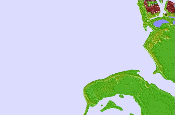

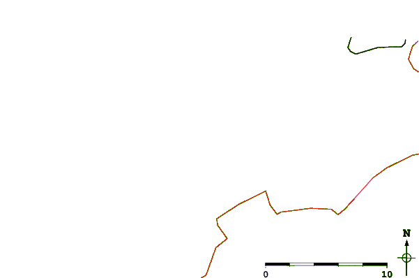
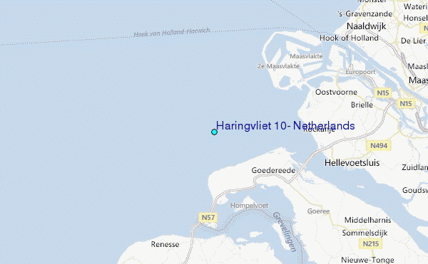
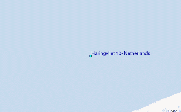
Use this relief map to navigate to tide stations, surf breaks and cities that are in the area of Haringvliet 10, Netherlands.
Other Nearby Locations' tide tables and tide charts to Haringvliet 10, Netherlands:
click location name for more details
 Surf breaks close to Haringvliet 10, Netherlands:
|
||
|---|---|---|
| Closest surf break | Slufter | 7 mi |
| Second closest surf break | Blokken | 7 mi |
| Third closest surf break | Maasvlakte | 8 mi |
| Fourth closest surf break | Maasexpress | 12 mi |
| Fifth closest surf break | Ter Heijde | 16 mi |


 Nearest
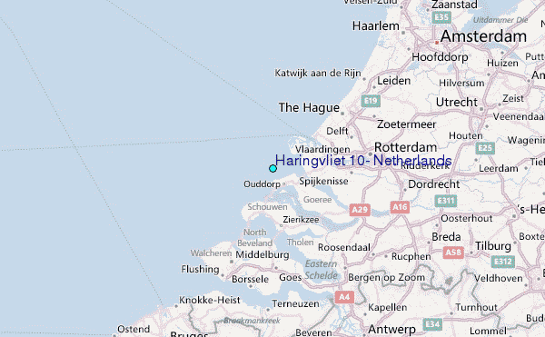