
| Distance / Altitude | Location | Report Date / Time | Live Weather | Wind | Gusts | Temp. | Visibility | Cloud |
|---|---|---|---|---|---|---|---|---|
| 121 km N / 218 m | Natashquan Airport (Quebec) | 2024-04-25 15:40 local (2024/04/25 18:40 GMT) | Light rain | light winds from the W (19 km/h at 260) | — | 3 | few scattered broken | |
| 123 km N / 12 m | Natashquan-Que (Canada) | 2024-04-25 15:00 local (2024/04/25 18:00 GMT) | No report | light winds from the NW (9 km/h at 320) | 1°C | 36 km | - no observation - | |
| 169 km NE / 7 m | CapeWhittle-Que (Canada) | 2024-04-25 15:00 local (2024/04/25 18:00 GMT) | - | near gales from the S (57 km/h at 170) | -1°C | - | no observation | |
| 185 km S / 163 m | Iles DE LA Madel Airport (Quebec) | 2024-04-25 15:00 local (2024/04/25 18:00 GMT) | Dry and partly cloudy | near gales from the W (54 km/h at 260) | 2°C | 24 | broken | |
| 185 km S / 194 m | Iles de la madel Airport (Quebec) | 2024-04-25 15:00 local (2024/04/25 18:00 GMT) | - | near gales from the WSW (56 km/h at 250) | 2°C | 0.0 |
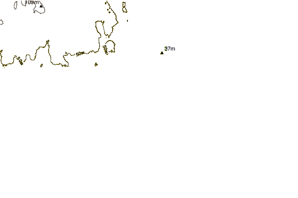
| Contours: | Roads & Rivers: | Select a
tide station / surf break / city |
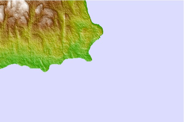
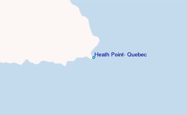
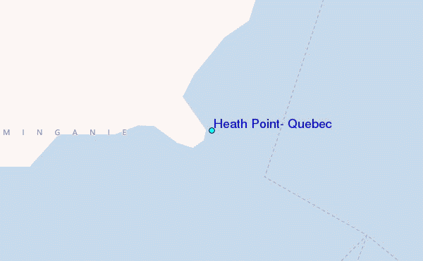
Use this relief map to navigate to tide stations, surf breaks and cities that are in the area of Heath Point, Quebec.
Other Nearby Locations' tide tables and tide charts to Heath Point, Quebec:
click location name for more details
 Surf breaks close to Heath Point, Quebec:
|
||
|---|---|---|
| Closest surf break | Ingonish Beach | 180 mi |
| Second closest surf break | Kennington Cove | 235 mi |
| Third closest surf break | Michaud Point | 247 mi |
| Fourth closest surf break | Martinique | 312 mi |
| Fifth closest surf break | Lawrencetown Reef | 316 mi |

 Nearest
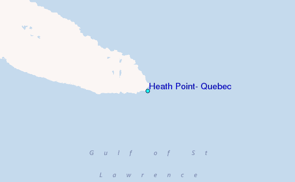