
| Distance / Altitude | Location | Report Date / Time | Live Weather | Wind | Gusts | Temp. | Visibility | Cloud |
|---|---|---|---|---|---|---|---|---|
| 24 km SSE / 60 m | SagonaIsland-Nfld (Canada) | 2024-04-19 15:30 local (2024/04/19 18:00 GMT) | - | strong winds from the N (41 km/h at 10) | 4°C | - | - no observation - | |
| 25 km SSE / 13 m | Sagona Island Airport (Newfoundland) | 2024-04-19 16:30 local (2024/04/19 19:00 GMT) | - | gales from the NNW (65 km/h at 330) | 0°C | 0.0 | ||
| 33 km N / 1 m | Saint Albans (Canada) | 2024-04-19 15:30 local (2024/04/19 18:00 GMT) | - | light winds from the E (13 km/h at 90) | 3°C | - | no observation | |
| 73 km SE / 1 m | Marystown wx (Canada) | 2024-04-19 16:30 local (2024/04/19 19:00 GMT) | - | light winds from the NE (11 km/h at 49) | 7°C | - | - - 0 | |
| 83 km SSE / 48 m | STLawrence-Nfld (Canada) | 2024-04-19 15:30 local (2024/04/19 18:00 GMT) | - | moderate winds from the NNE (24 km/h at 30) | 6°C | - | - no observation - |
| Contours: | Roads & Rivers: | Select a
tide station / surf break / city |
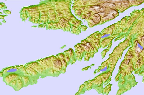
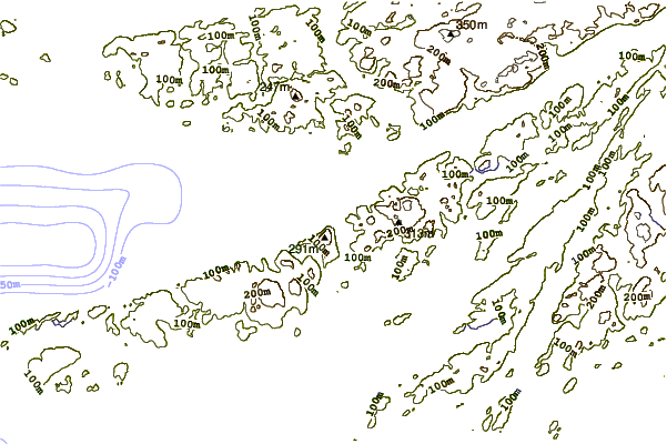
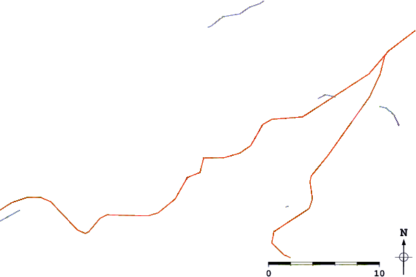
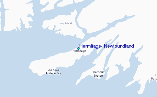
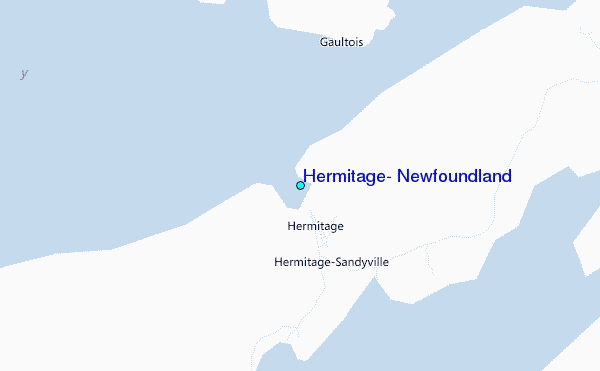
Use this relief map to navigate to tide stations, surf breaks and cities that are in the area of Hermitage, Newfoundland.
Other Nearby Locations' tide tables and tide charts to Hermitage, Newfoundland:
click location name for more details
 Surf breaks close to Hermitage, Newfoundland:
|
||
|---|---|---|
| Closest surf break | Ingonish Beach | 219 mi |
| Second closest surf break | Kennington Cove | 228 mi |
| Third closest surf break | Michaud Point | 265 mi |
| Fourth closest surf break | Martinique | 399 mi |
| Fifth closest surf break | Lawrencetown Left Point | 408 mi |

 Nearest
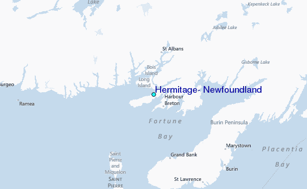