
| Distance / Altitude | Location | Report Date / Time | Live Weather | Wind | Gusts | Temp. | Visibility | Cloud |
|---|---|---|---|---|---|---|---|---|
| 1 km SSW / 42 m | Miyakojima (Japan) | 2024-04-19 01:00 local (2024/04/18 16:00 GMT) | - | light winds from the NE (13 km/h at 50) | 22°C | 36 km | no observation | |
| 4 km S / 445 m | Miyakojima Island Airport (Japan) | 2024-04-19 00:00 local (2024/04/18 15:00 GMT) | Dry and partly cloudy | light winds from the ENE (9 km/h at 70) | 20°C | 10.0 | broken | |
| 14 km WSW / 386 m | Shimoji Shima Island Airport (Japan) | 2024-04-19 00:00 local (2024/04/18 15:00 GMT) | - | light winds from the E (7 km/h at 90) | 21°C | 10.0 | few | |
| 62 km SW / 9 m | Tarama Island (Japan) | 2024-04-19 00:00 local (2024/04/18 15:00 GMT) | - | light winds from the ENE.(Wind varies from 020 to 120 degs) (7 km/h at 70) | 22°C | 10.0 | few | |
| 103 km SW / 77 m | Akaishi (Japan) | 2024-04-19 01:00 local (2024/04/18 16:00 GMT) | - | light winds from the NNW (17 km/h at 347) | 22°C | - | - - 0 |
| Contours: | Roads & Rivers: | Select a
tide station / surf break / city |
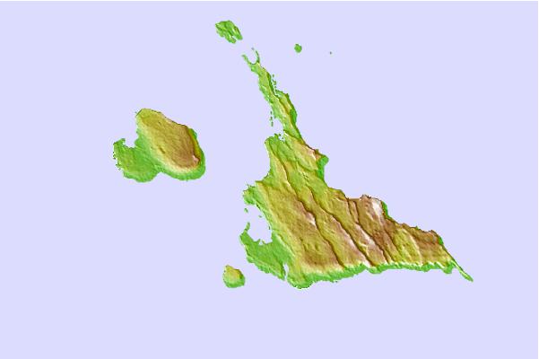
Use this relief map to navigate to tide stations, surf breaks and cities that are in the area of Hirara, Okinawa, Japan.
Other Nearby Locations' tide tables and tide charts to Hirara, Okinawa, Japan:
click location name for more details
 Surf breaks close to Hirara, Okinawa, Japan:
|
||
|---|---|---|
| Closest surf break | Castles | 173 mi |
| Second closest surf break | Suicide Cliffs | 177 mi |
| Third closest surf break | Aja | 178 mi |
| Fourth closest surf break | Yonabaru | 183 mi |
| Fifth closest surf break | Green Pole | 185 mi |

 Nearest